Camano Island
When I consider visiting Puget Sound islands, my thoughts generally go directly to “ferries” which then force second thoughts about going to any of the islands. This is not to say that I’ve never visited any of those islands, and I have. It’s just that I need a really good reason to go because the ferries seem like such a hassle. Camano Island, however, is an exception; you don’t need to take a ferry to get there. It’s located east of Snohomish County, separated by Port Susan and Davis Slough, and is accessed by the Camano Gateway Bridge on State Route 532, directly from Stanwood. On the west, its neighbor is Whidbey Island, separated by the Saratoga Passage, however there is no direct access between Whidbey and Camano Islands.
What originally brought Karen and me to the island was the 14th annual Northwest Glass Quest, a 10 day treasure hunt for handblown glass balls created by world renown glass artists. It took us literally one minute to change our minds when we read a placard in a local business with 3 search hints, and realized that checking out the island would give us much more pleasure than unsuccessfully finding glass balls, although the reward would have made it worthwhile.

The Island has a very long history for land of such a small size. Its area is 39.77 square miles, and its length from top to bottom is 15.6 miles. It was given its current name in 1847 by British Navy Captain Kellet to honor Lieutenant Don Jacinto Caamano who had explored western waters in the 1700’s. Other names it was given, before and after today’s name, included MacDonough Island, Perry Island and Crow Island, offered by the island’s loggers. The list of historic places around the island gave us a good picture of what Camano Island was like years ago.

Utsalady Neighborhood
Prior to 1850, when White settlement began, the island was inhabited by several Coast Salish tribes. Utsalady, the first community, housed several sawmills that had been constructed by Thomas Cranney in 1858. The neighborhood grew and eventually organized its own school district in 1862 for the 17 school children who learned in a one room schoolhouse. Currently in the Utsalady area are several buildings that remind us of earlier days: the Camano Lutheran Church, Camano Pioneer Cemetery and Utsalady Ladies Aid.
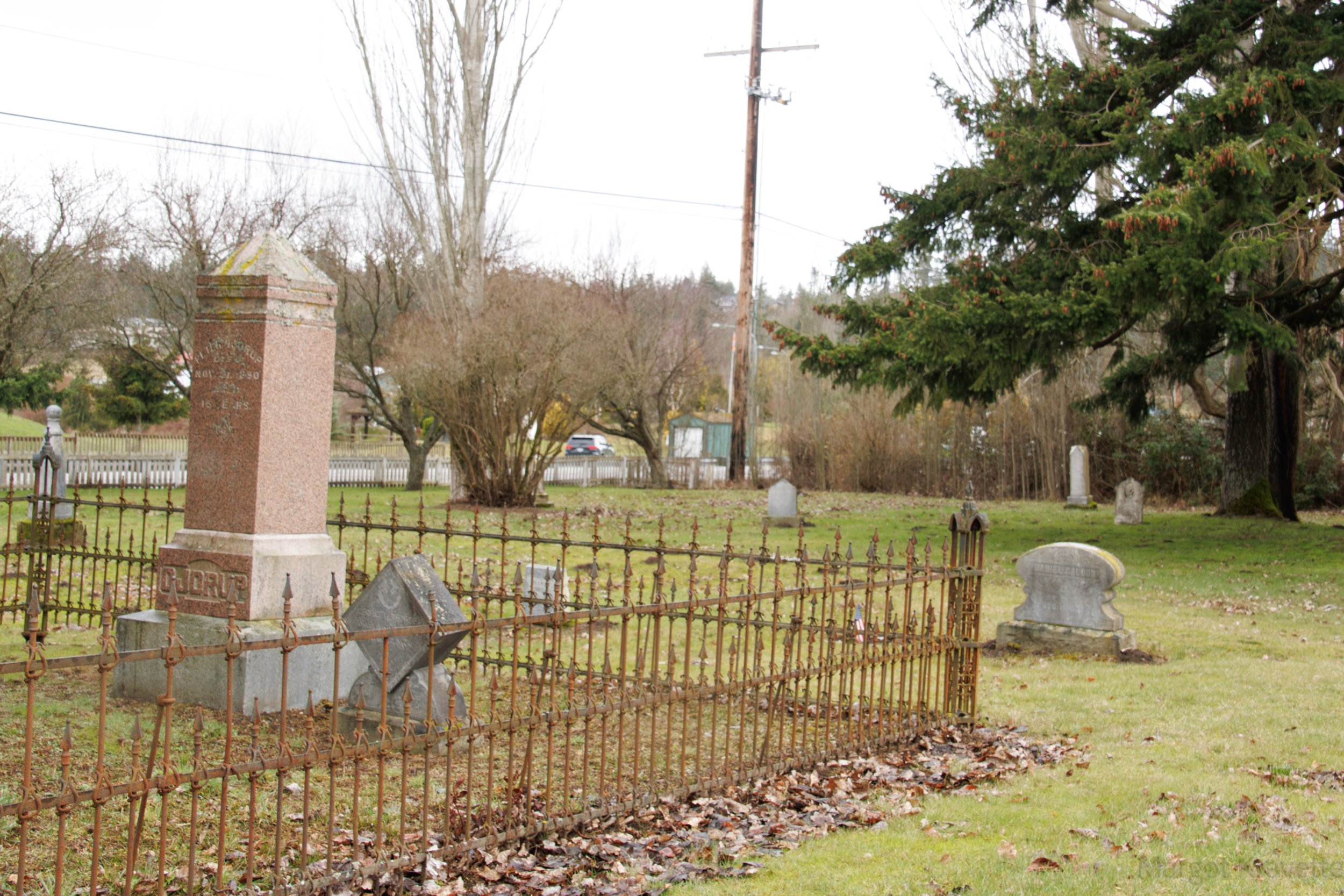
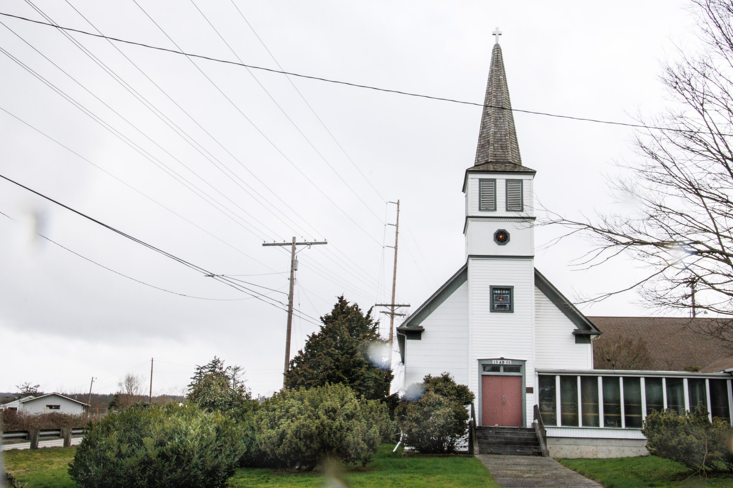
Camano Lutheran Church and Pioneer Cemetery
The first Camano Lutheran Church was established in 1890 and services were held beginning in 1895 in the Livingston School. Construction of the current church was completed and dedicated in 1906. The prior building is still standing and is now named Pioneer Hall. The Camano Pioneer Cemetery was first platted in 1887 with 40 plots, with 76 more added since that time. Early settlers and some Native Americans are buried there, and it has been told that the eastern portion of the cemetery was dedicated for the burial of paupers and many unmarked graves.
Ladies Aid Building

On both the state and National Historic Registers, the 1923 Utsalady Ladies Aid Building has served members of the Ladies Aid, since 1908. The non-profit organization, whose mission is to support the growing needs of the Utsalady community on Camano Island, has expanded its service area since then and provides that support through scholarships to high school girls, donations to the Food Bank, and other community projects. The building, on Utsalady Road, on a residential street, across from the beautiful Puget Sound.
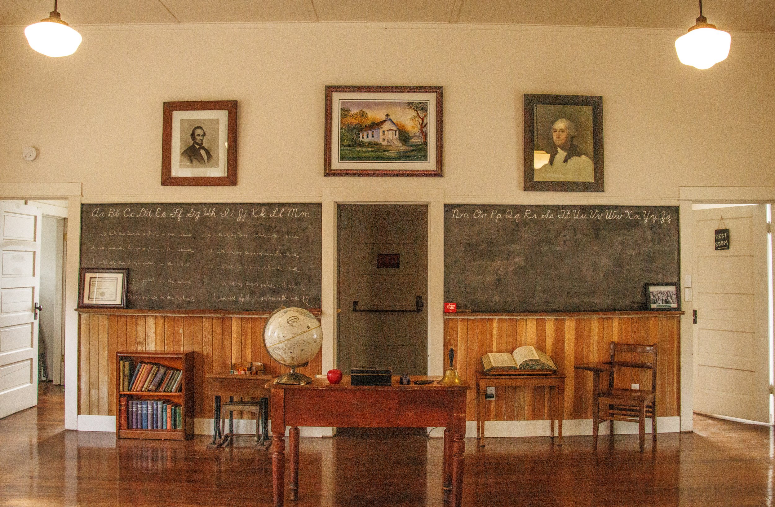
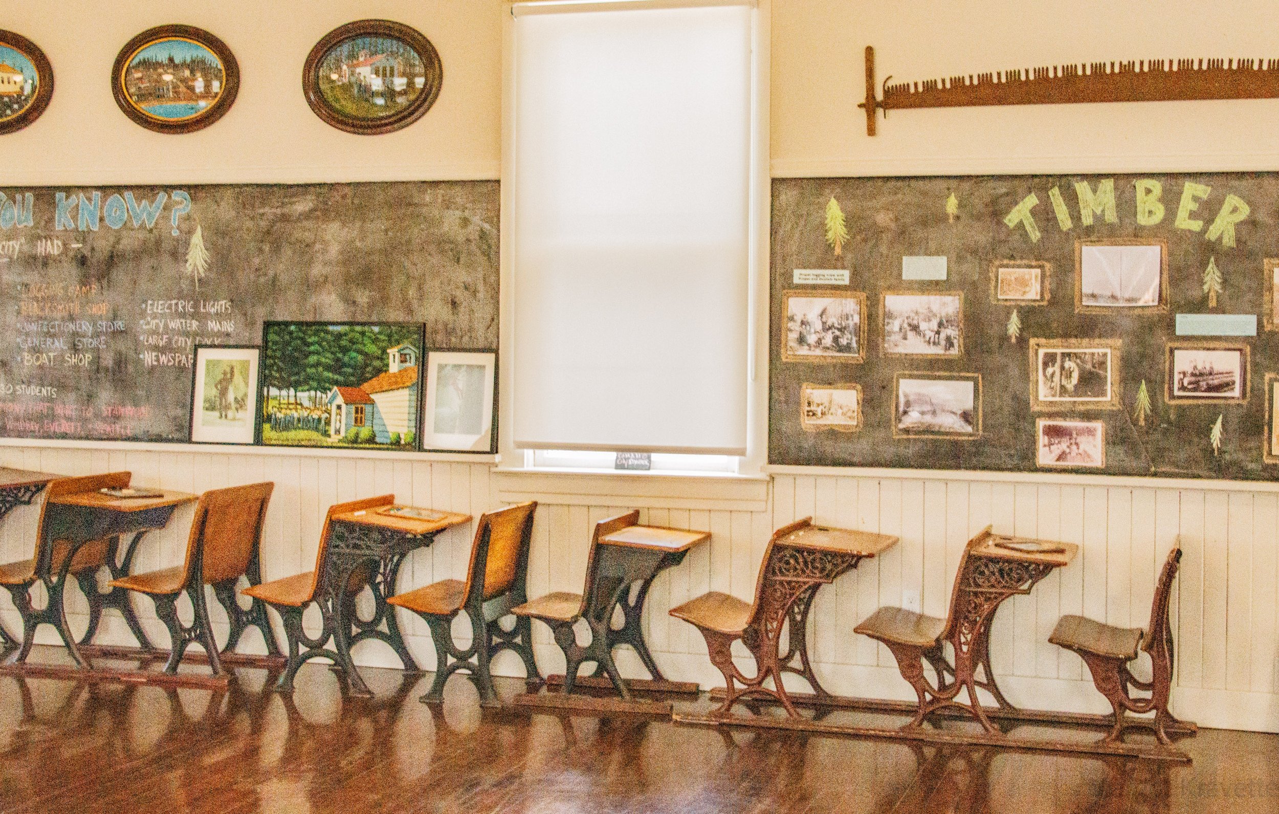
Camano Schoolhouse
The Camano City Schoolhouse, was constructed in 1906. Still standing today. This building looks the same as it did throughout the previous century. The alphabet on the blackboard with small and capital letters, the seats with attached (tiny) desks, pictures of Presidents Washington and Lincoln hanging on the front wall, and a large open dictionary on a table in the front of the classroom, available to everyone – exactly like my old elementary school classrooms. The building is now used for educational programs, classes and meetings that “highlight Camano Island’s. history and provide enriching, enlightening, and empowering information regarding all aspect of life, liberty and the pursuit of happiness”, according to its website, Camanoschoolhouse.org.
American Legion Post 207 Building

The American Legion Post 207 building is one of my favorites because it’s so colorful. Apparently during Covid a number of updates were done to the building, both inside and outside and most notably its bright red, white and blue. Prior to the American Legion occupying this building in 1950, it had been the home of the Ferris Upholstery and Mattress Factory, which most no longer exist as my search was unable to locate it.
English Boom Preserve
In addition to these lovely historic buildings, many of the beach areas have their own history. English Boom Historic Park was named after Edward G. English, a successful logging and timber magnate, who came west from Massachusetts and was one of the founders of Mount Vernon. Timber from the foothills of the Cascades were delivered by rail to a former community, Milltown, where it was sorted, graded and tied together as rafts to make its journey to English Boom, down the Skagit River. Once there the rafts were towed by to their final destinations. The Boom closed in 1945, 15 years after the death of their founder. In its day the Boom was known to store at any one time 15 million board feet of timber, enough to build 1500 homes.
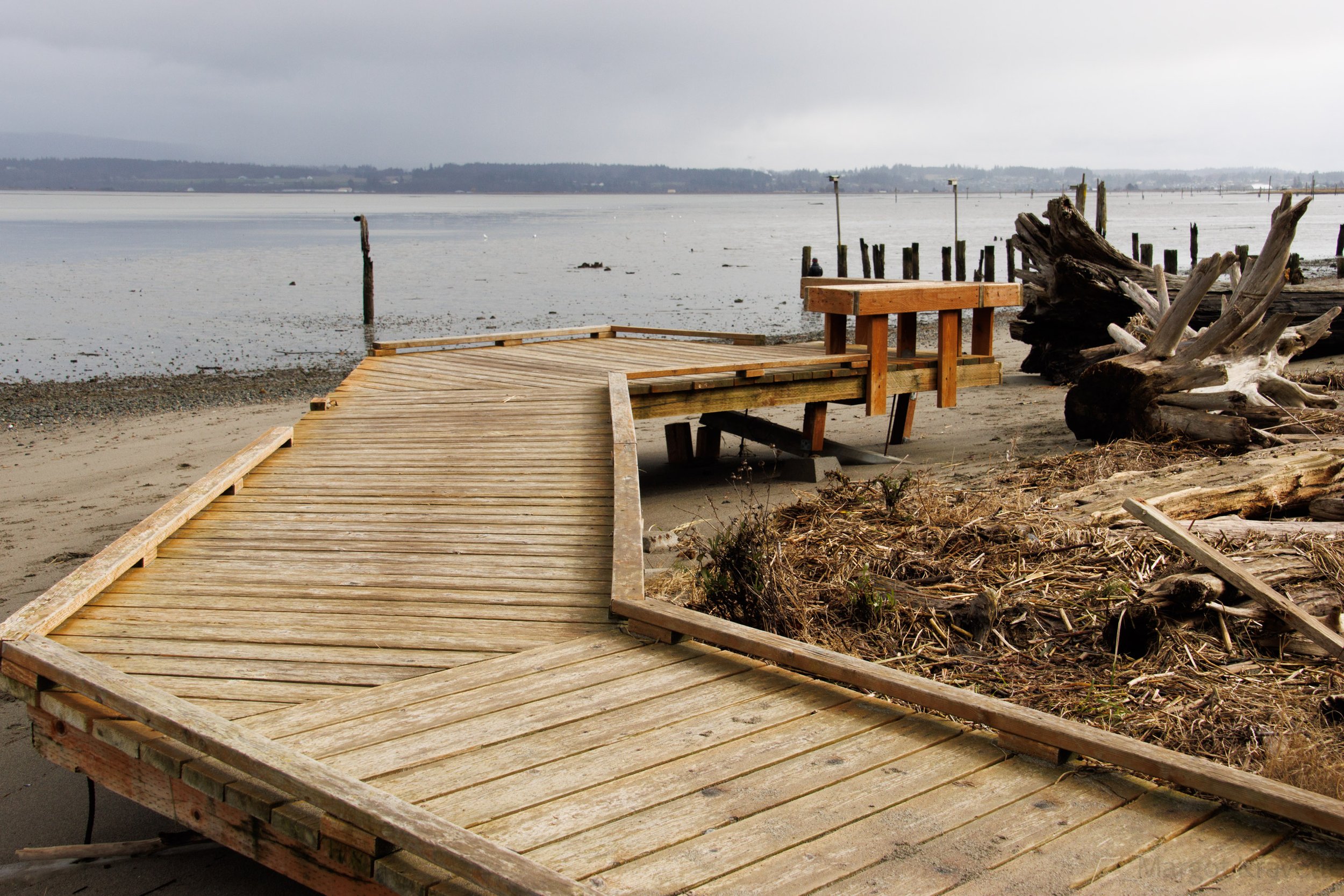
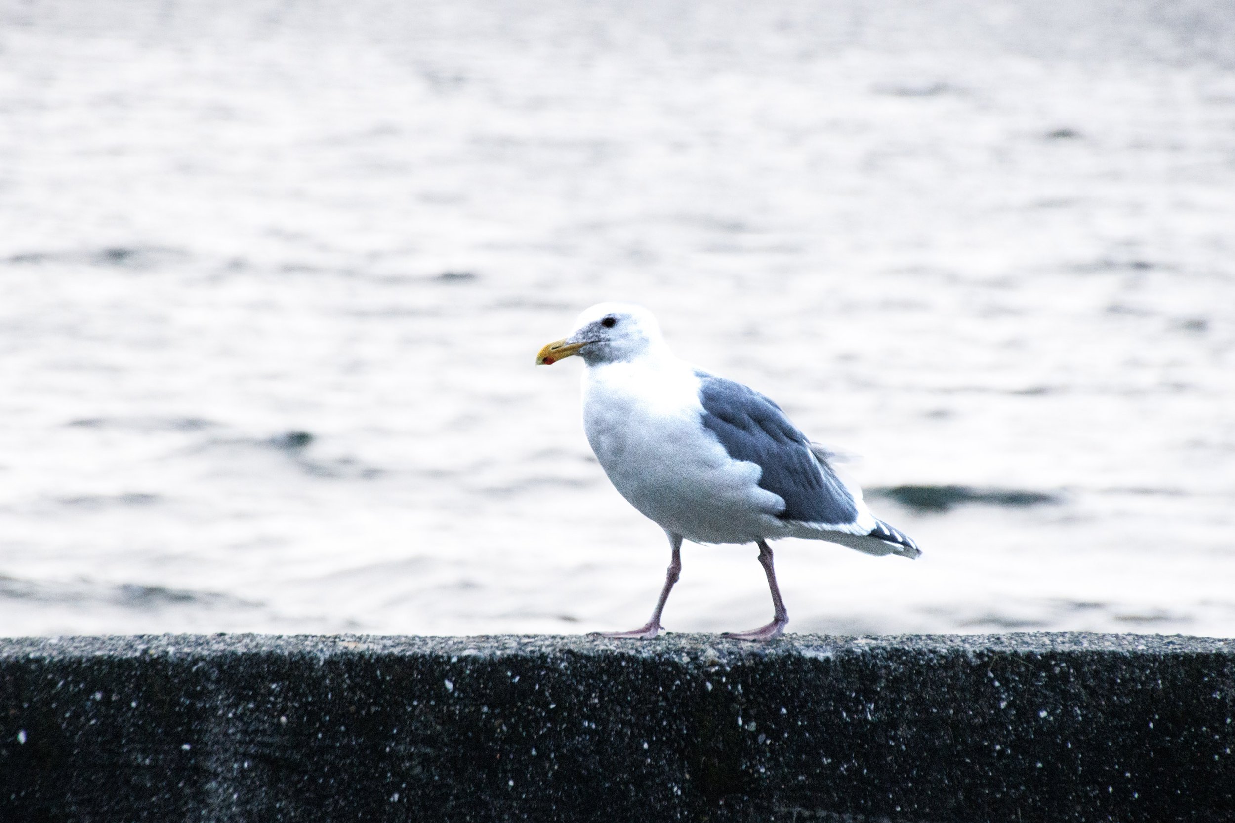
The 6.7-acre park has a 0.9 flat, sand trail along the water that starts beyond on elevated wheelchair ramp near the entrance adjacent to the small parking lot. Beyond the trail, but off limits to walkers, is the Davis Slough Heronry where hundreds of herons are bred and other birds such as eagles, hawks and kingfishers can be seen with binoculars. We were fortunate to see a single heron standing quietly at the edge of the water.

Cama Beach Historical State Park
A former fishing resort, Cama Beach Historical State Park has some of everything, from 15 miles of trails, access to a beach and 32 waterfront cabins, with a 1-mile trail to Camano Island State Park. The area’s Native Americans fished and hunted there hundreds of years ago and there had been a fishing encampment and possibly a tribal village as well. After the Point Elliott Treaty of 1855 and the Native Americans moved to reservations, the location became a logging camp until the early 1900’s when in 1934 LeRoy Stradley bought the property, built cabins and opened a fishing resort. After Stradley died his daughter and son-in-law managed the resort until 1989 when Stradley’s granddaughters took over. In 1993 they sold the land to the State to develop a park. The hope was to build more cabins in the 1930’s style and restore the existing ones. The Center for Wooden Boats opened a branch of their school at Cama Beach, which is still used today. During some digging of utility trenches in 2002 some Indian artifacts and human remains were revealed. There was some discussion of the tribes purchasing the land, but the State didn’t want to cell it since they had invested so much already. There were other efforts made by the Native Americans to stop the park construction or to place an Indian village or a reburial site in the park, but the courts never found in their favor.

The cabins are still there. The older ones have been refurbished and new ones have been built. We could only look in the window of some that were vacant but they look really comfortable and the smallest ones can sleep 4. They’re right on the water and just below some wonderful hiking trails. The way the cabins are laid out you almost feel like you’re back in the 1930’s. I can imagine different families who had never met sitting together at the campfire, kids playing in the horseshoe pits, or just watching the waterfowl from their cabins. And the General Store is a place where families hangout. The environment creates a real sense of community.
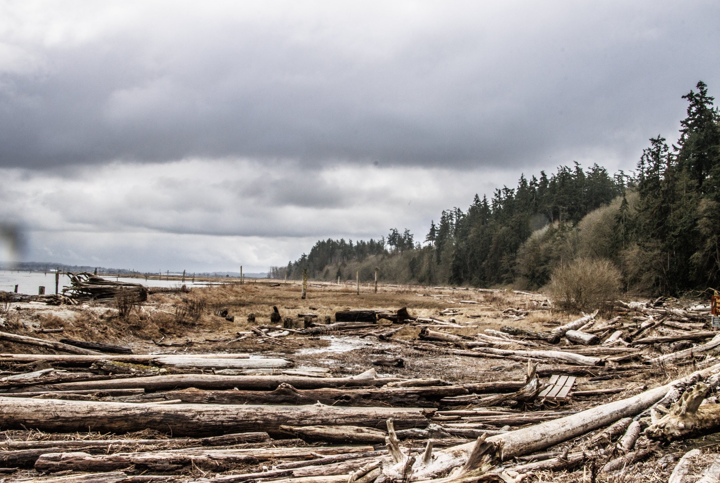
Barnum Point
Sterling Jones Barnum purchased 130 acres on the east side of Camano Island in 1904 for $1500. His family lived on that land for over 100 years before his descendants were ready to sell it. The land was purc4ased in 2017 by the Camano Whidbey Land Trust, along with 37 additional acres that were adjacent to the Barnum property. The Land Trust describes it best. “Jutting out into Port Susan Bay, Barnum Point guards the entrance of Triangle Cove. Here, juvenile salmon migrating from the Stillaguamish River across the bay find a refuge, with the forest and bluffs of Barnum Point providing the woody debris, shade and “insect rain” they need to thrive. Four miles to the east, freshwater from the mouth of the Stilly spills into the bay, mixing with saltwater from the Sound to create a rich feeding ground for marine life, a key migratory path for shorebirds, and a marshland home for 90 percent of western Washington’s wintering waterfowl.”
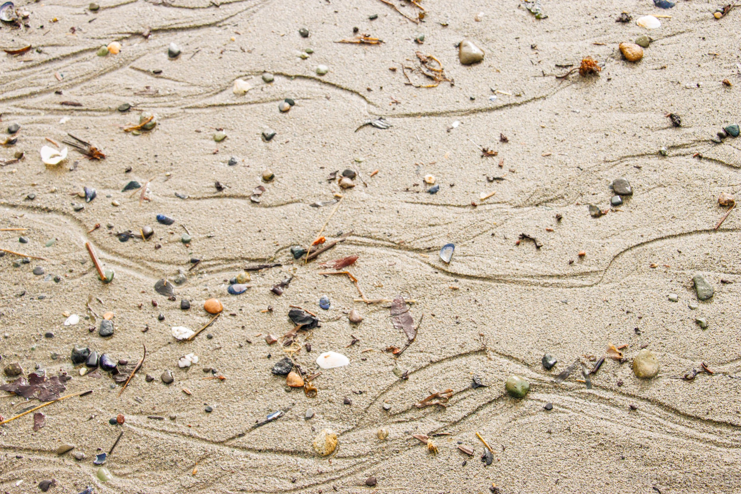
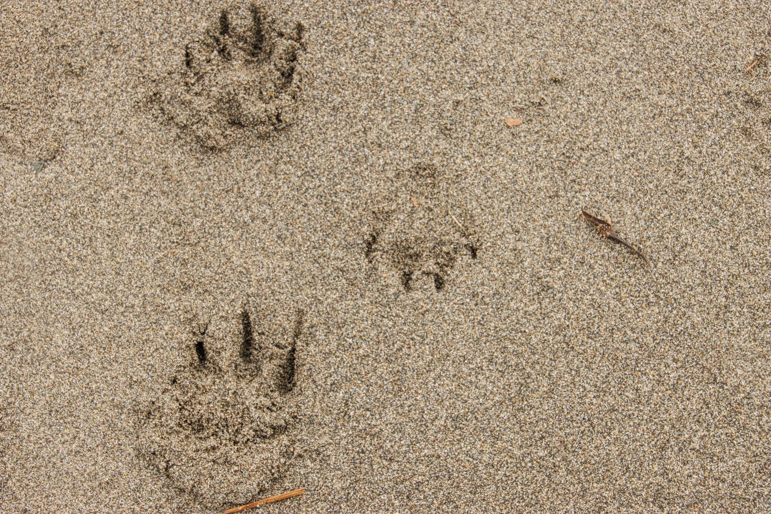
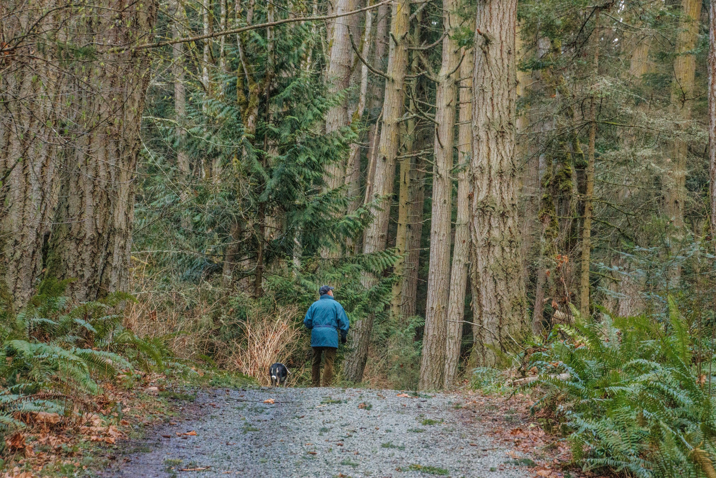
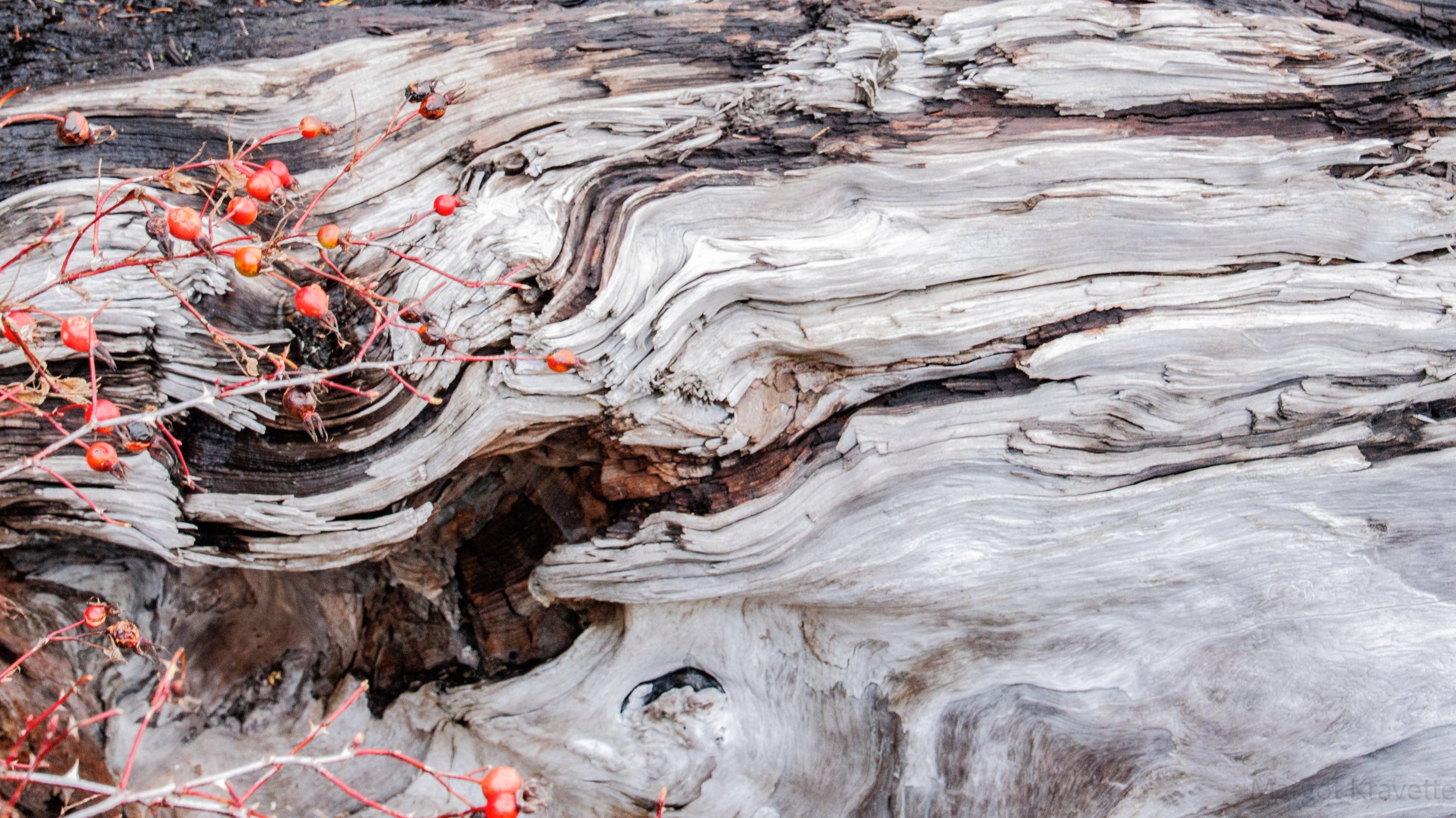
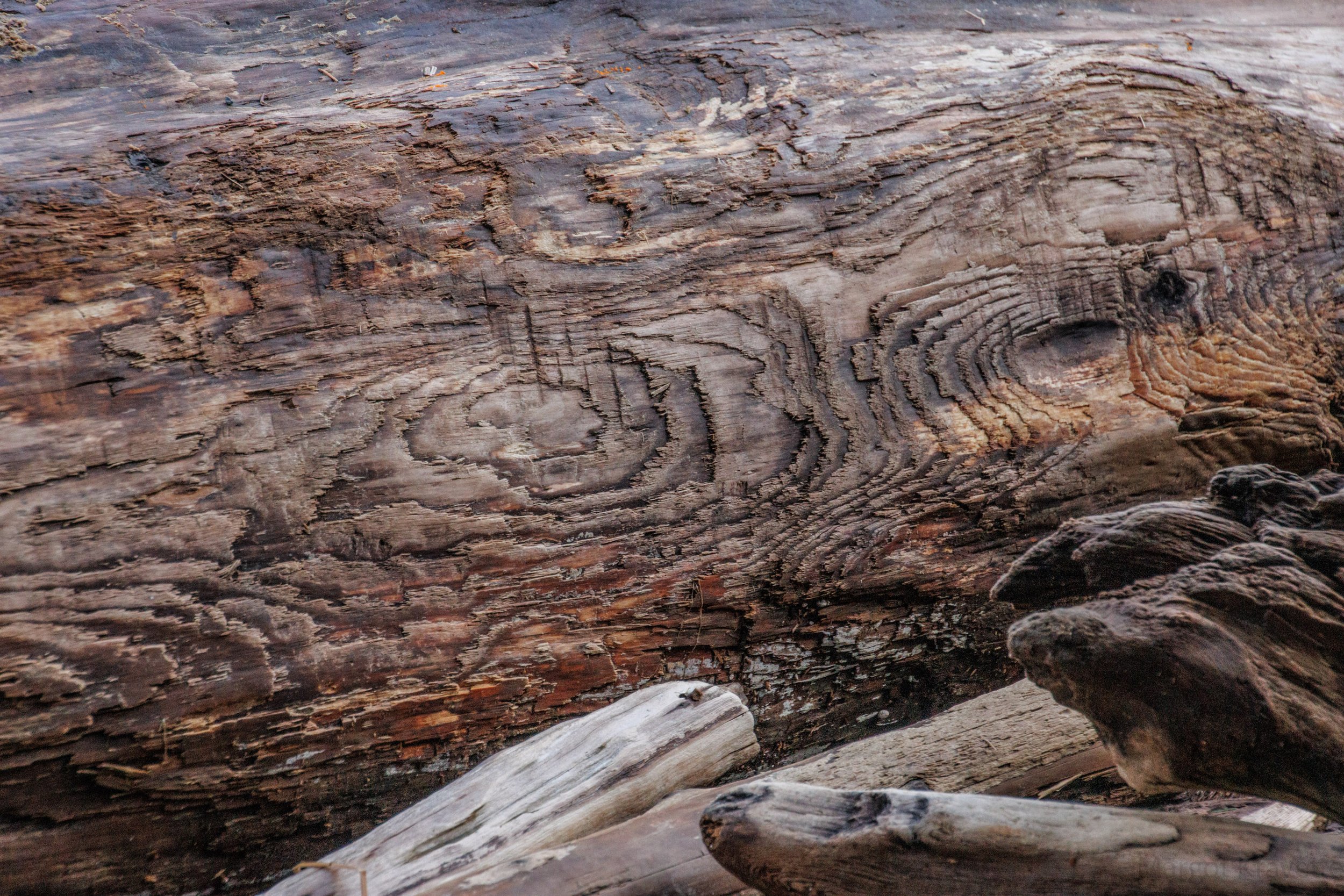
At the parking lot a poster offers six trails, with new ones being constructed. With limited time remaining, Karen and I chose the Beach Trail, and walked down a relatively steep hill. Similar to English Boom, at the bottom of the trail, the beach was covered with driftwood, but with a different history than English Boom. I found myself looking down a lot, noticing the beautiful designs at ground level. This is definitely a place to return to explore the wide variety of land and water.

In addition to the interesting history, there are over 25 miles of beautiful hiking trails on Camano Island. Having visited in February before the deciduous trees had leaves, before the spring and summer flowers were blooming and while it was relatively quiet, I can only imagine how picturesque it is in warmer weather. I look forward to returning and finding out.