Columbia River Gorge

I woke up early one morning in White Salmon, Washington, near the Columbia River Gorge, and this is what I saw outside my window. With flip flops and pajamas still on I ran outside with my camera to grab this shot. It had rained on and off the day before and admiring this sky, I knew it would be a beautiful day.
Geology was not one of my subjects in either high school or college and I have never really had much of an interest in that field of science. But traveling through the Gorge with Etana, a geology major in college, gave me a substantial education as we were immersed in an amazing laboratory over our three-day journey.
Columbia River Gorge History

Geologists say that about fifteen million years ago, molten stone poured from cracks in the earth near the eastern border of today’s Washington and Oregon. Layers of flowing lava spread west, coating 65,000 square miles with viscous rock made of andesite and basalt up to two miles thick and pushing the ancient Columbia River north. Then the Cascades rose and erupted. The lava flowed again.
Looking carefully, you can see layer after layer of lava, much of which has been covered by dirt and in some places grass. During the lava’s cooling six-sided columns and walls of 600-700 feet were formed, primarily on the Oregon side. This structure contributes to Oregon having the predominant number of waterfalls in the area. The Washington side is a less stable set of layers of dense basalt on top of softer, unconsolidated rocks, and the whole assembly slopes to the south as it follows the buried slope of an extinct volcano. Earthquakes and ground saturation have given rise to more erosion and numerous landslides on the north.


Toward the end of the last Ice Age an enormous glacial lake in Montana broke through its dam and roared west across the plateau and through the Gorge. This drama was replayed many times. The water scoured solid rock and topsoil leaving behind elevated tracts of rocky land with little or no soil cover. Huge floods, the largest about ten times the combined flow of all the rivers in the world, rushed across eastern Washington. When this water reached the Columbia River Gorge, it raised the river level 200-1000 feet, leaving a rock-solid channel, deep and steep-walled.
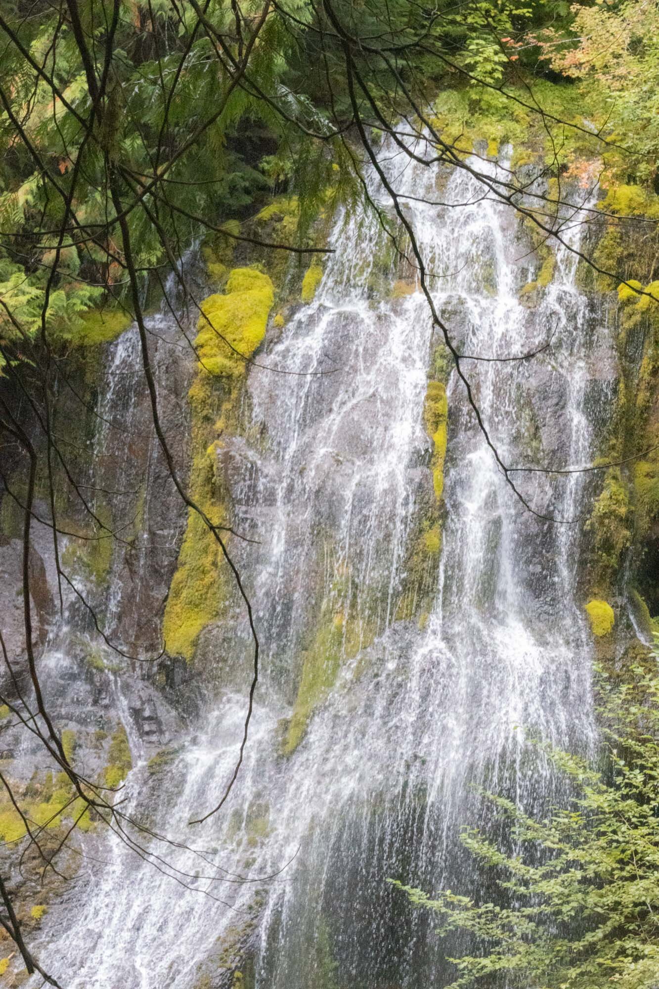
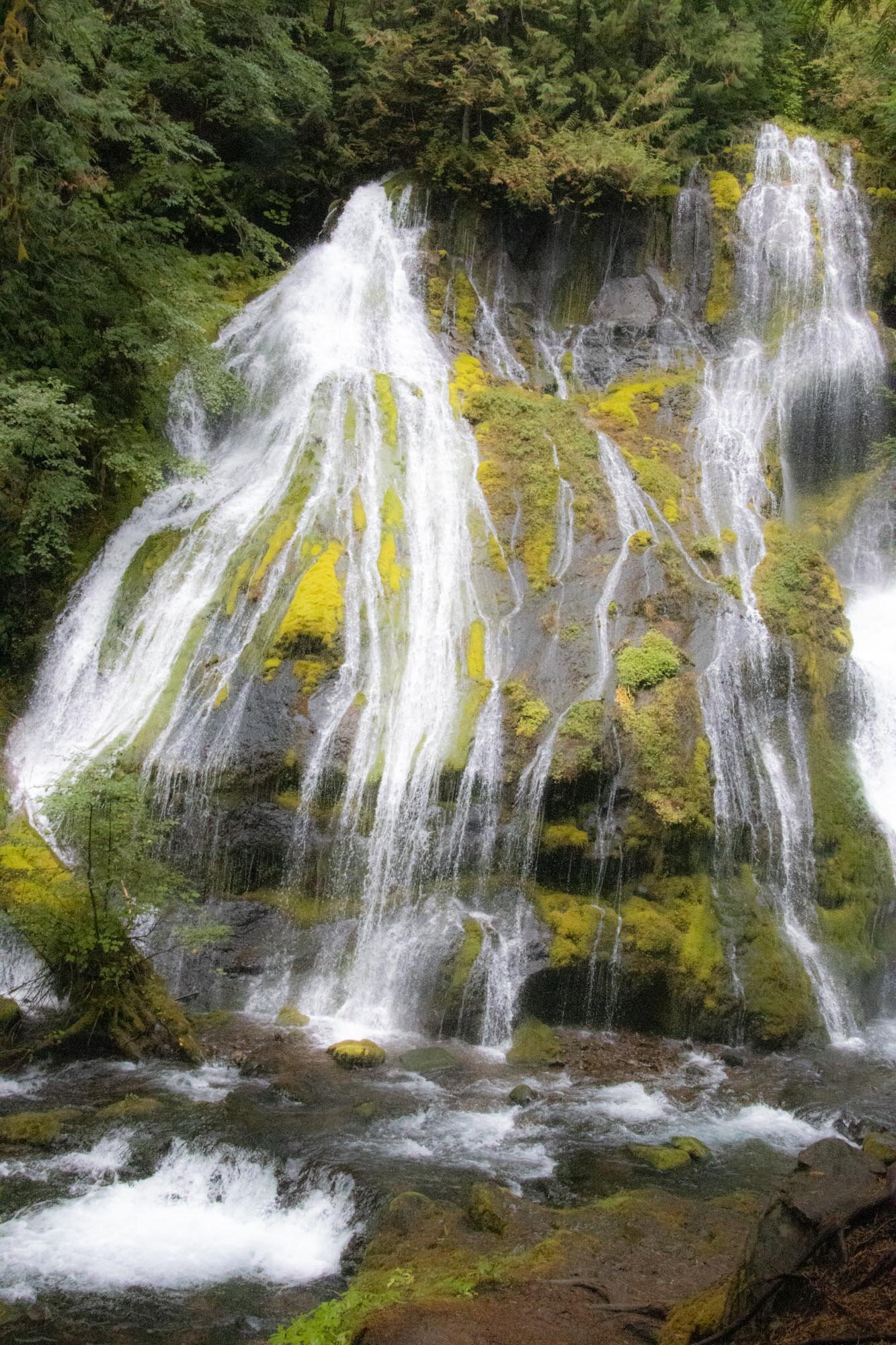
Panther Creek Falls
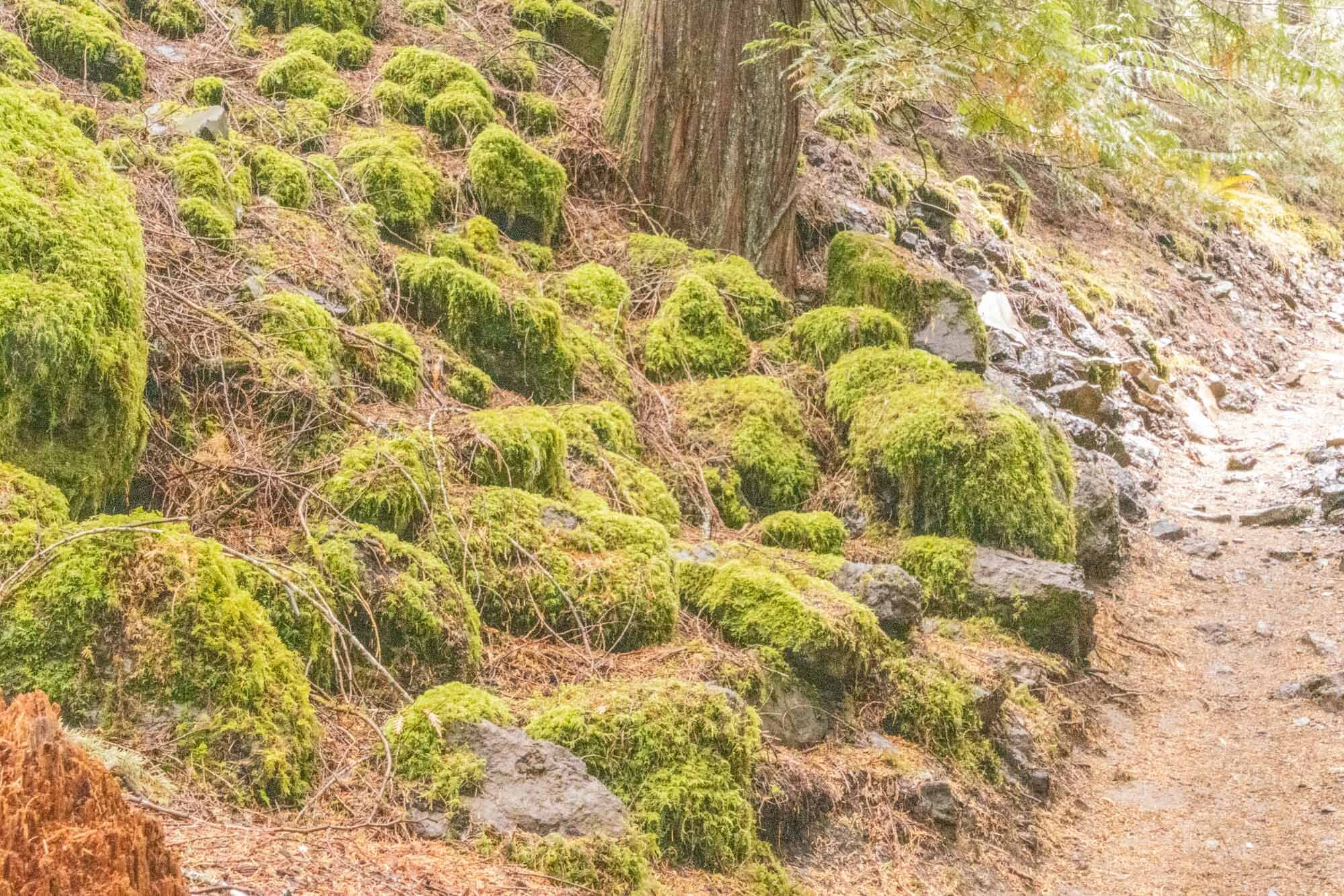
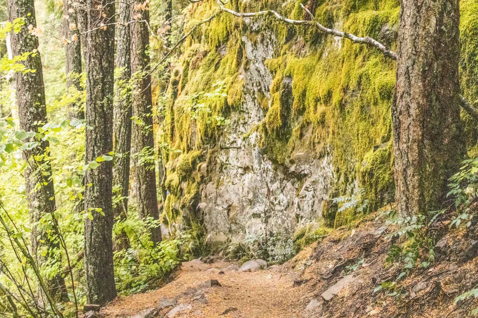
We went on a search for one of the Washington State waterfalls, Panther Creek Falls. We knew where it was, and it showed up on both of our maps programs, however there were no signs directing us to the falls. We finally discovered a small parking area, correctly assumed it was the one we were looking for, and located the 1/2 mile trail a short walk from our car. The lower falls, a combination of two streams that merge together, drop a total of 136 feet. The hike straight down took us on soft trails and passed velvety moss covered walls and lava rocks.
Bridge of the Gods
One piece of history I appreciated was the story of the Bridge of the Gods. In approximately 1426 AD the Bonneville landslide created a dam which acted as a natural land bridge between the two sides of the river. After many years of erosion, the land was washed away, and the natural crossing was destroyed. Eventually the first man-made bridge was built in 1926 and was named after an old Native American legend which tells that “the people could cross the river without getting their feet wet.”

Beacon Rock
Guarding the river 35 miles from Vancouver sits Beacon Rock, a remnant of a volcano from 57,000 years ago. The floods eroded the outer layers of the volcano leaving only the core. The rock was named by Lewis and Clark in 1805, while on their westward journey. After river developments threatened to destroy the rock Henry Biddle purchased it and eventually gave it to the state of Washington for a park. Biddle built a series of switchbacks, all with handrails, so people could climb to the summit and enjoy the magnificent views. The switchbacks have been replaced since then, and Etana and I climbed the 52 of them, each at about a 15% grade, for the 0.9 miles to the top. It was extremely windy so after taking the required selfies, we quickly headed back down, reaching the bottom just as a very large group of students and parents were just starting up the narrow pathway. The climb was glorious!!!
There is so much fascinating history about the Columbia River Gorge from its geologic formation to the lives of Native Americans and their relationship and dependency on the salmon that ran in great numbers prior to the building of the dams, the role of the river in commerce and so much more. This visit has whetted my appetite to return to the Gorge and continue my journey.
