Mima Mounds
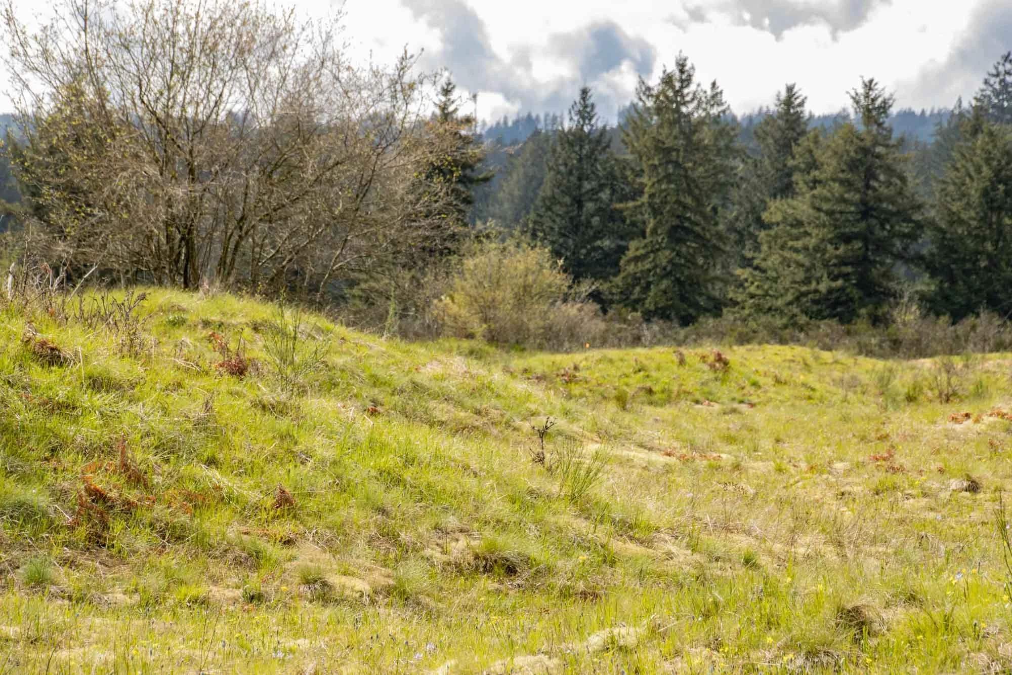
About 20 miles south of Olympia near the town of Littlerock is the Mima Mounds Natural Area Preserve (pronounced Mima like dime-a). The Preserve was established in 1976 to protect the 637 acres of rare mima mound landforms, Puget prairie grasslands, and forest and oak woodlands.. The mounds themselves are small hills consisting of sand, silt and pebbles. Their height ranges from 2-7 feet and their width from 8-40 feet. If you saw images of them taken from a drone you might refer to them as “soil pimples”. They are not unique to Western Washington, and can also be found in some other states in the U.S. and in other countries around the world, but it has not been shown that the origins of all of these Mima Mounds are the same, nor are their physical attributes necessarily the same.

The Department of Natural Resources’s graphic booklet, The Guide to Mima Mounds, explains that “the Mima mounds area was an intertribal center of Native American trade. Mima" is a name derived from a Native American language meaning "a little further along" or "downstream"
Mima Mounds were formed sometime after the Ice Age glaciers began receding 16,500 years ago. There was some thought that this was a burial ground for Native Americans, but that was not found to be true as some of the mounds were explored. Although there are multiple hypotheses for the cause these dome-shaped mounds, their origin has never been confirmed.
The Sun Cup Hypothesis – In 1913 geologist J. Harlen Bretz thought that glaciers caused Mima Mounds. There were glaciers in this area south of Olympia close to where Mima Mounds are located. Bretz considered that since the sun melted holes in the iced and snow, and water then flowed across the ice, sediment filled up the holes and built up remaining piles after the ice and snow melted.
The Gopher Hypothesis – In the 1940s, biologists Victor Scheffer and Walter Dalquest suggested that gophers built the Mima mounds. Gophers dig tunnels and toss the dirt behind them. They live underground and need to build large piles of dirt so they have a high and dry place to go when the rain soaks the ground.
The Earthquake Shaking Hypothesis – In 1990 Andrew Berg suggested that since earthquakes cause ripples in the earth, mounds can result. He demonstrated this assumption by striking a table, covered with Mima mound silt, directly with a hammer. As the seismic waves travel around the earth, the ripples combine. The larger the ripples, the higher the mounds.
In 1988 glaciologist A.L. Washburn reviewed the evidence for and against all the mound hypotheses to date. He favored hypotheses based on runoff erosion with vegetation anchoring. In these hypotheses, runoff from glacial meltwater eroded the soil between trees or shrubs, leaving mounds around the plants.
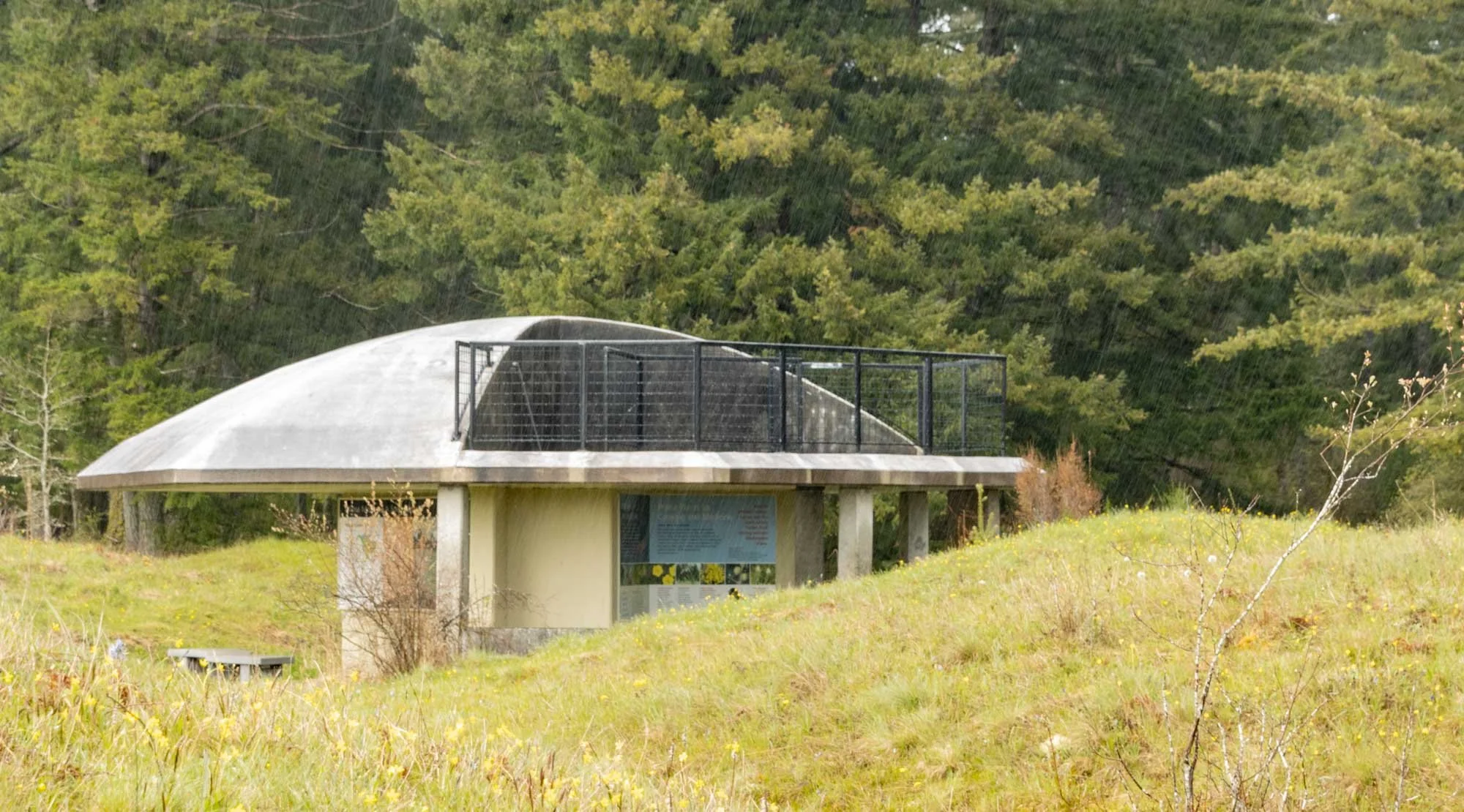
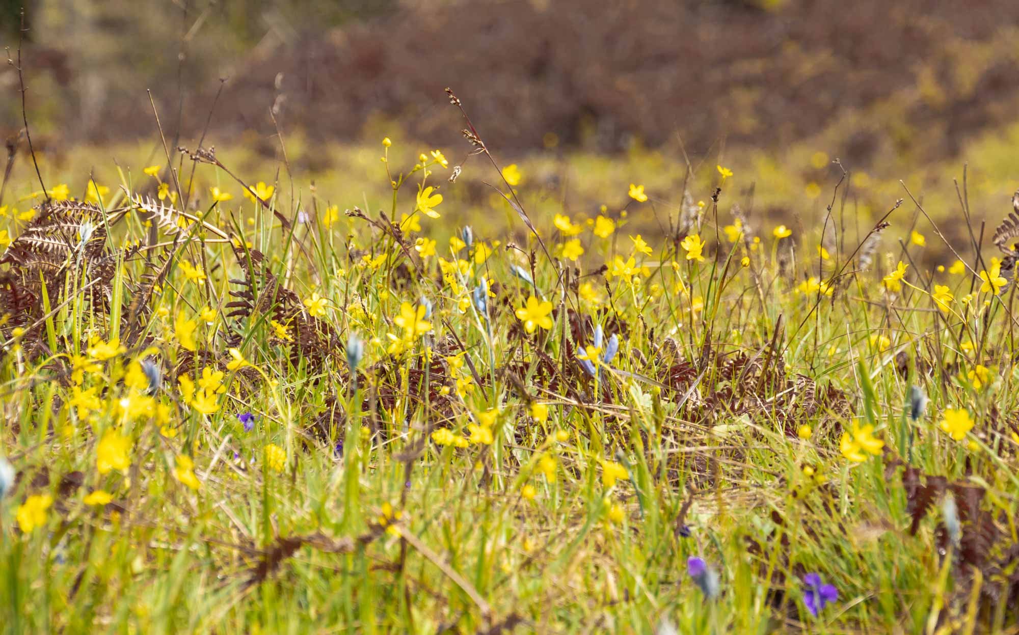
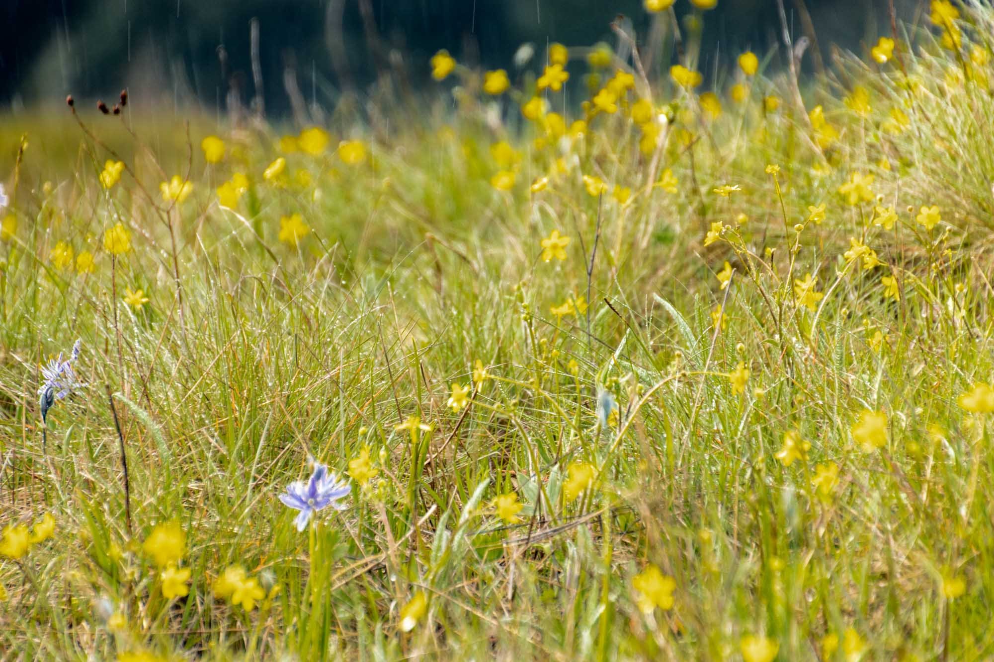
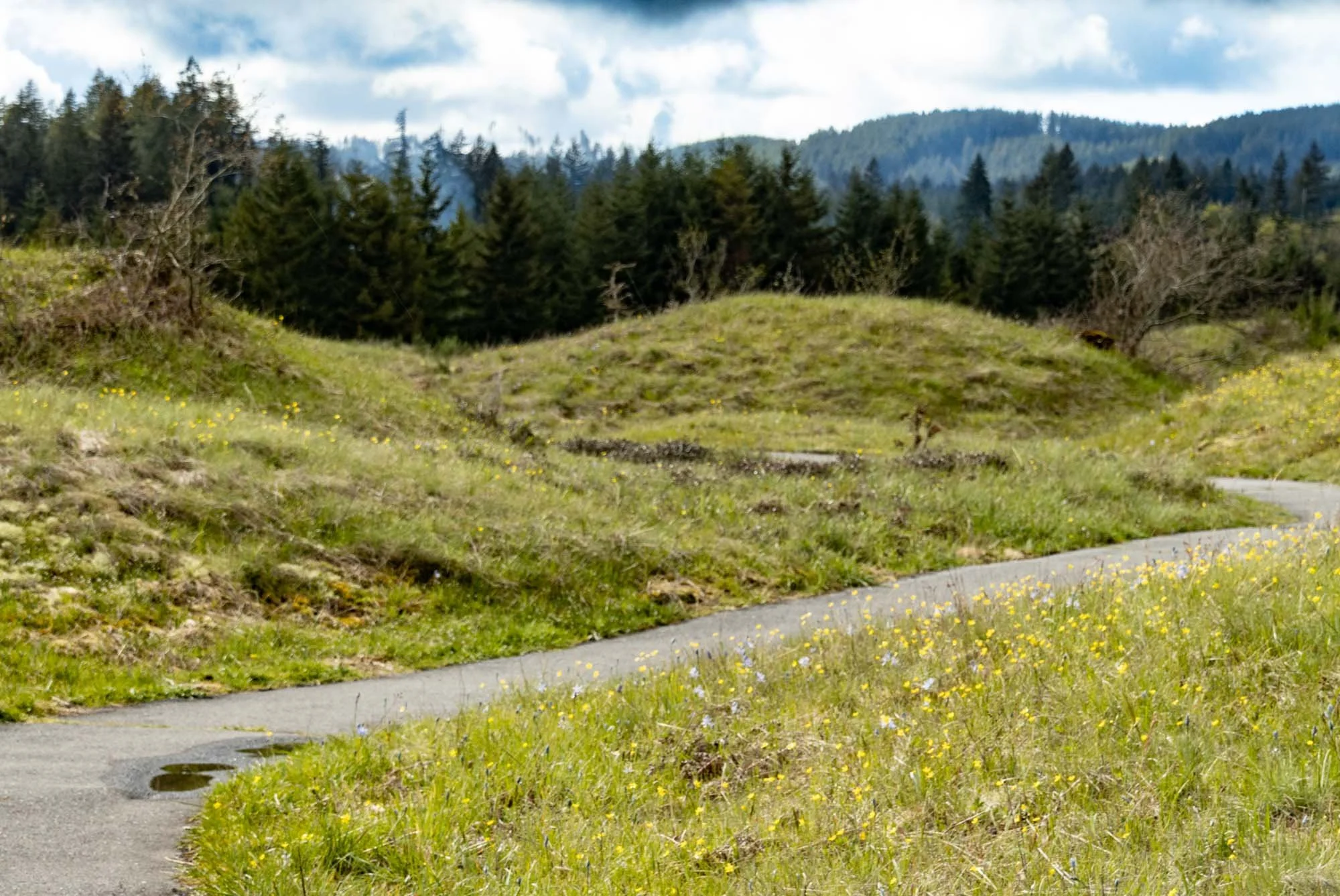
A small observatory is the first thing you see when entering from the trailhead, providing a 360 degree view from its second level. The first level is an interpretive center with descriptions of the mounds, possible histories of their discoveries, geology , and prairie ecology. The half-mile ADA trail is fully paved and accessible from the entrance, and is just right for children and adults of all ages. Additional 1.5 and .5 mile gravel paths take you farther out among the grasses, native plants, mosses and lichens. The flowers were just starting to bloom. The yellow native Western Buttercup were abundant, interspersed with the purple Camas. When I was there it was a cloudy and very rainy day – alternating between drizzles and downpours. Despite the weather and an unclear explanation of their origins, I found the area fascinating and beautiful - in between the rain drops.