Port Angeles - Olympic Peninsula’s Largest City
Known as the gateway to the Olympic National Park, Port Angeles sits on the shores of the Strait of Juan de Fuca, just 15 miles west of Sequim and at the intersection of Route 101 and the road to Hurricane Ridge. It’s the largest city on the Olympic Peninsula and situated in a way that one can visit much of the northern and western peninsula in one day. Port Angeles is known for its vast number of outdoor sports and activities. Its port supports five marine facilities, two marinas, two airports and several industrial and commercial properties. The Olympic Discovery Trail (ODT), between Sequim and Forks, travels through Port Angeles before beginning its gradual ascent toward Crescent Lake.
Walking along the waterfront we passed the ferry terminal, the Visitors Center, and the Fiero Marine Life Center before reaching the City Pier. The pier extends into the water where in late afternoon many residents come out to fish for squid. At the end of the pier sits an overlook with beautiful views in all directions.
An interesting display of abstract steel sculptures by Bob Stokes, called Avenue of the People, are scattered the length of Laurel Street. The sculptures represent actual residents of Port Angeles who are often seen about town. Although they don’t have heads, they do have the names of the individuals Stokes represented, such as Richard pushing Liane uphill in her wheelchair, , and Michael, a young gentleman leaning against a rail and having a conversation with a pretty lady. Unique indeed.
The self-guided mural trail, representing the maritime history and Native American culture has livened up the downtown area. One mural I particularly like, called Olympic Visions, is a panorama depicting the Olympic Peninsula over three panels. Starting on the west side of the Peninsula, the scenes progress from Rialto Beach to the Olympic Rain Forest to Sol Doc Falls, Crescent Beach then to the Sequim Dungeness Valley in the rain shadow of the Olympic Mountains. Throughout the entire mural indigenous animals, birds and plants are shown along with Franklin Roosevelt, and his cousin Theodore looking over them. president Theodore Roosevelt originally created the Olympic National Monument in 1909 and President Franklin Roosevelt signed legislation that formed the Olympic National Park in 1938.
We were excitedly surprised when we visited the unique Webster’s Woods Sculpture Park, part of the Port Angeles Fine Arts Center. The Center opened in 1986 as an art gallery in what was the home of the late Esther Webster. Surrounding the gallery is a five-acre park of beautiful trails leading visitors to over 100 sculptures and other works of art, fully incorporated into the foliage hanging from tress, partially buried, or otherwise camouflaged.
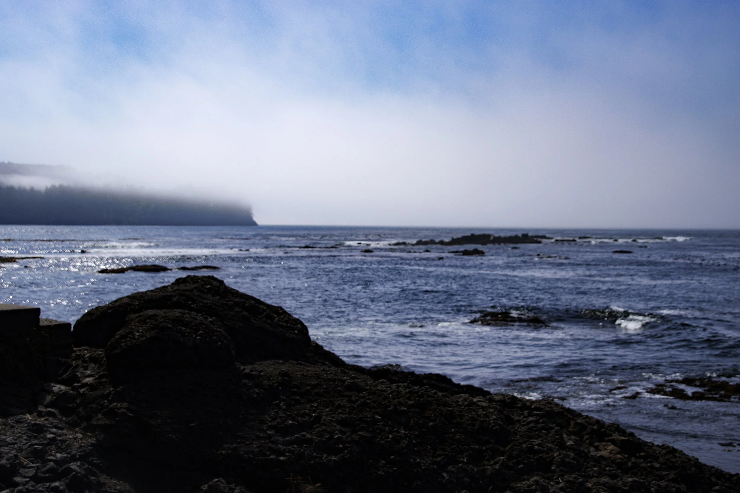
We still had a few hours of light after leaving the sculpture park so we went off to find Salt Creek. that had been strongly recommended to us for its tide pools, diving, camping, surfing, and hiking. Just a few miles west of Port Angeles, we found the Salt Creek Recreation Area and camp site where a short staircase took us down to the water.
The tide was starting to come in, but still giving us a great opportunity to explore the tide pools. I’m not a big fan of climbing on wet rocks after having had a good fall at Ruby Beach several months before, but I was in just the right spot to capture the movement of the water and the beautiful designs it made in the tide pools. From where I was standing I could easily see Vancouver Island which took on different images, and the fog as it changed positions as the afternoon progressed. Sheryl, on the other hand, moved quickly and easily over the rocks and joined a dad and his young daughters collecting tiny shells of all kinds as the water came in and out from the shore.
Hoping we would have time and the right weather for a ride, Sheryl and I brought our bicycles with us to Port Angeles. We were fortunate on both counts and spent our last hours on our saddles, riding along the Olympic Discovery Trail (ODT). We rode past Waterfront Park, the Marina, and around the logging processing facilities to Ediz Hook, a 3 ½ mile sandy, crescent shaped spit that extends into the Strait of Juan de Fuca and protects Port Angeles from large ocean-sourced swells. The spit provides a 360-degree view of water, mountains, land, fishing and pleasure boats, birds and marine life from any point. On the northern side of the spit, large basalt boulders provide erosion control for the narrow piece of land.
At one point we noticed a man carrying containers of food toward the boulders, and when we asked about it he responded that every day in mid-afternoon he brings dinner to the colony of resident feral cats, and another person brings breakfast first thing in the morning. They and several others serve meals to the cats twice a day, three hundred sixty five days a year, except in the case of a snowstorm that prevents access to the spit. Several local organizations partner with the non-profit Feral Cat Spay/Neuter Project in Lynnwood, to provide and train volunteers for monthly spay and neuter clinics.
We rode back on the ODT through Port Angeles and along the Strait of Juan de Fuca toward Sequim. The path was only partially paved, but the views of the water minimized the pain of bumping up and down on the gravel. A family of deer, fortunately for both of us, decided to quickly move out of our way at the last moment. This ride was a perfect ending to a perfect weekend.


