

Ghost Towns in Northern Okanogan County
I’m sorry to tell you that we did not meet any ghosts during our visit. or
What is a ghost town anyway? Philip Varney, the author of several popular ghost town books, defines these old communities as: “any site that has had a markedly decreased population from its peak, a town whose initial reason for settlement (such as a mine or railroad) no longer keeps people in the community.” These “towns” may be fully deserted, they may have minimal population, or they may still be thriving.
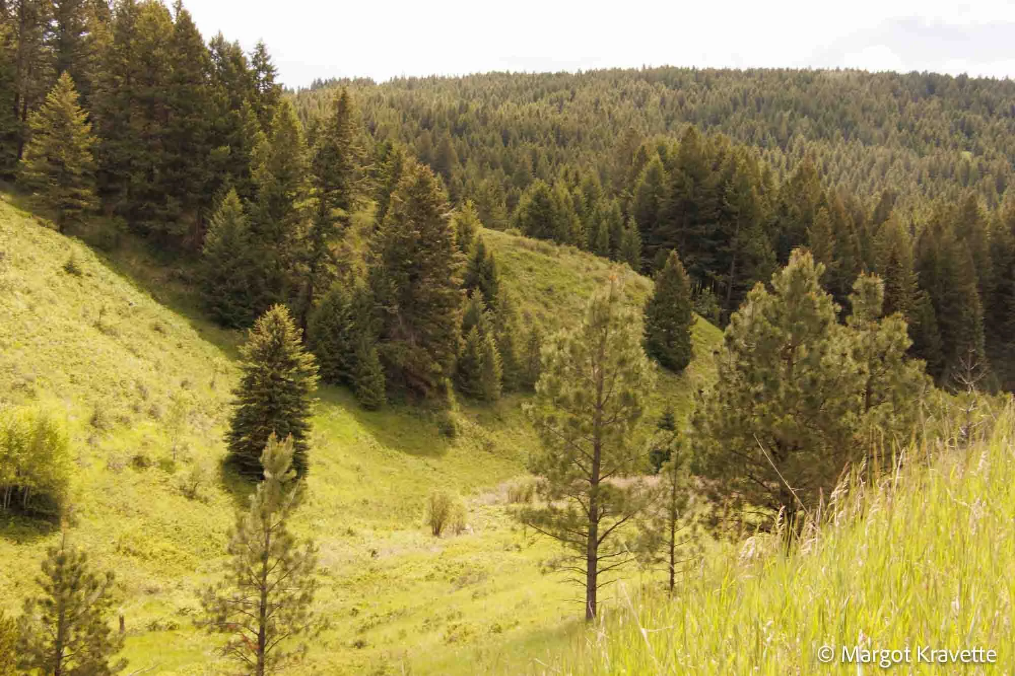
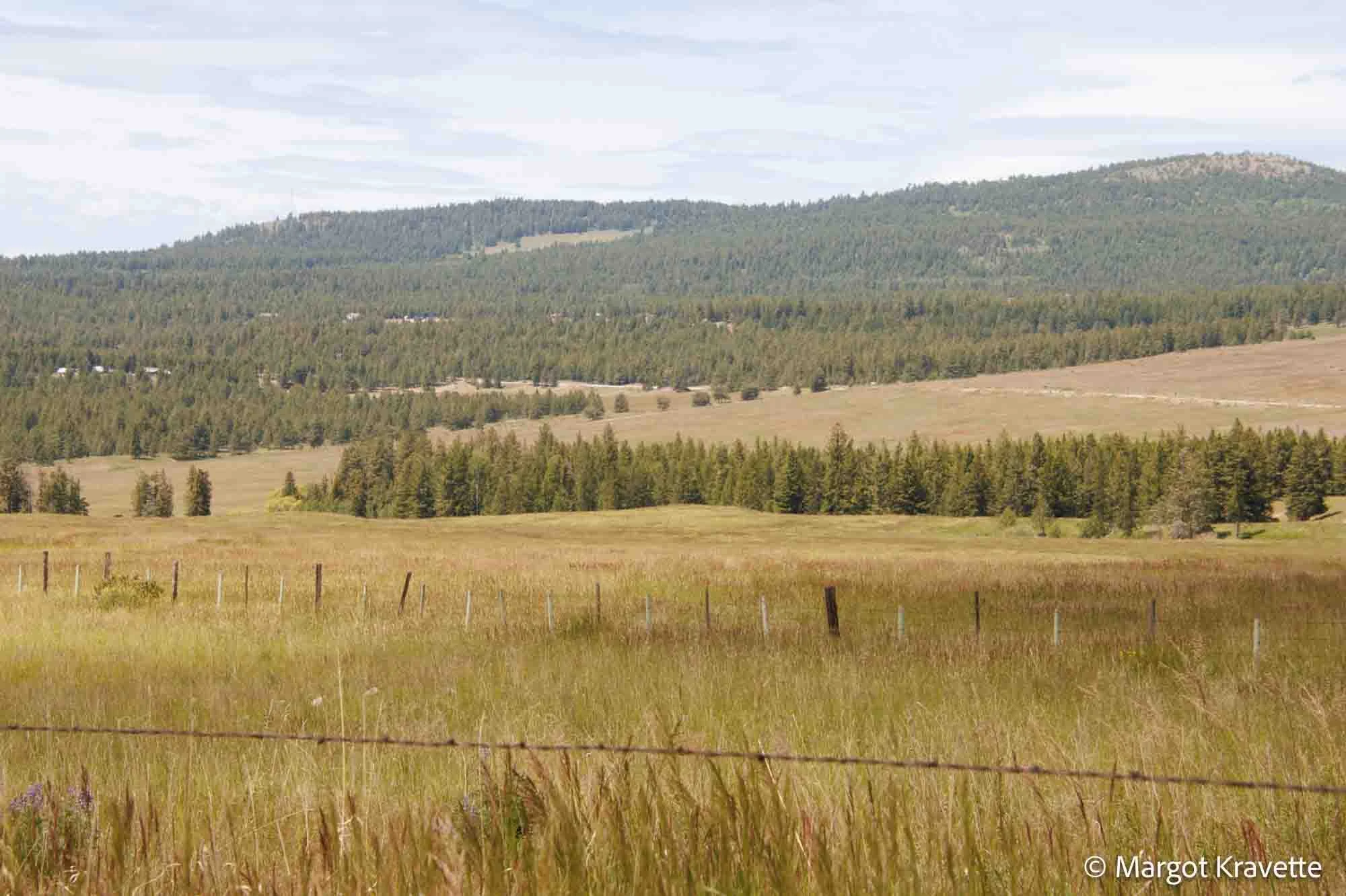
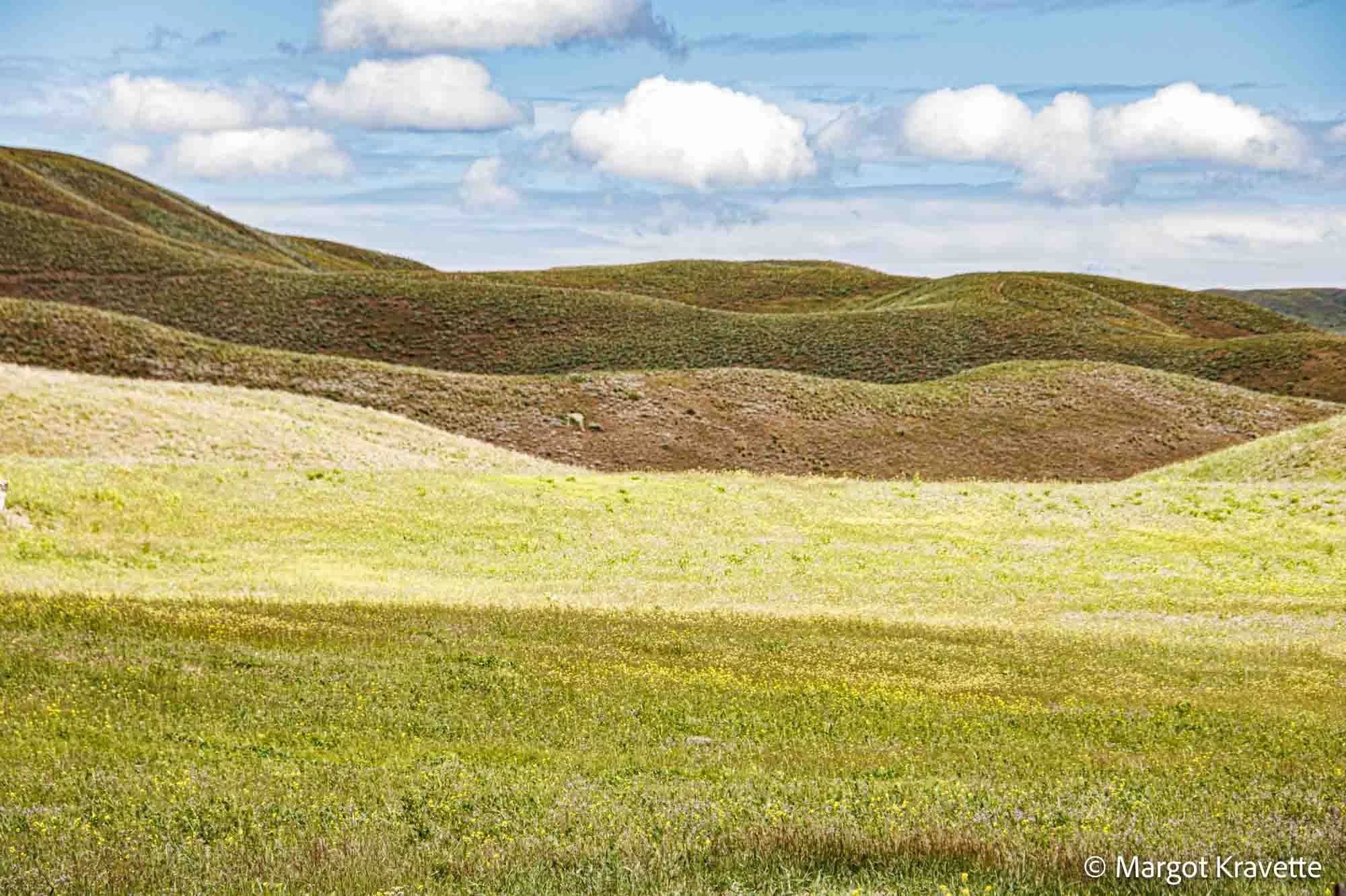
All of the areas we visited are located within the Okanogan Highlands, which are located in the northeast corner of Washington State. They are bordered to the north by British Columbia and to the east by Idaho. In their northeast locations they are an extension of the Rocky Mountains and the northern boundary of the Columbia Basin, which covers the full southern area of the county. Summits in the north-south ranges rise to more than 7,000 feet (2,100 meters). Most of the state’s metallic ores are found in this region.
Loomis
These days Loomis is noted for its gold rush history, cattle ranching, and its abundant outdoor recreation. It serves as a quiet gateway to nearby ghost towns and to former mining operations near Mount Chopaka. In 1886, hundreds of prospectors flooded to Loomis. By 1892, at the base of Palmer Mountain, and through the gold rush, Loomis had been pronounced the Mecca for the gold miners. During those days, there were three hotels and churches, a tinsmith, boot shop, two newspapers, a bank, a theater that showed silent movies, eight saloons and stores, and two dance halls. The town was named after Mr. Julius A. Loomis, the first merchant to permanently establish a store in the town. Later, when examining the ore, it was found to be of low grade, and it had to be hauled 200 miles to free milling. The expense was so great no one cared to develop it.
Loomis now serves as a quiet gateway to nearby ghost towns and former mining operations. We learned from a Loomis citizen who described that any town buildings from the gold days have either been destroyed or were otherwise remodeled, leaving only scarce history in that area.
Nighthawk
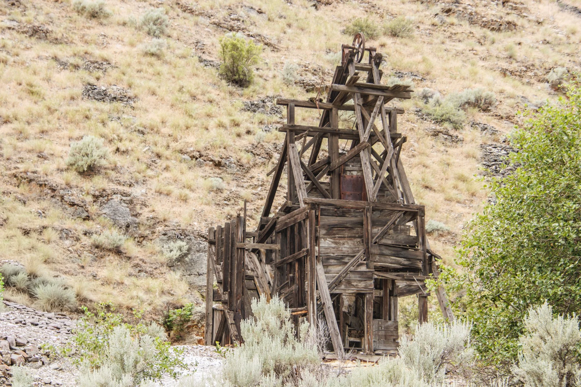
An old mine
We arrived at Nighthawk in the middle of the afternoon. We found a small, populated town, but we didn’t see any people. There was a strongly written sign advising visitors that Nighthawk is private property. We also spotted a sign that included directions for those looking for the ghost town. We turned around, drove a mile or so along the Similkameen River , and found several houses and mines that appeared to have been sitting there for dozens of years.
Nighthawk is a community on the Similkameen River just south of the Canadian border. Early pioneer Hiram Smith discovered minerals in the mid 1860s. J.M. Hagerty followed in the development of mines, electricity, and phone lines. The town was named for nearby mines, and some believe that it was named for the bird Common Nighthawk.
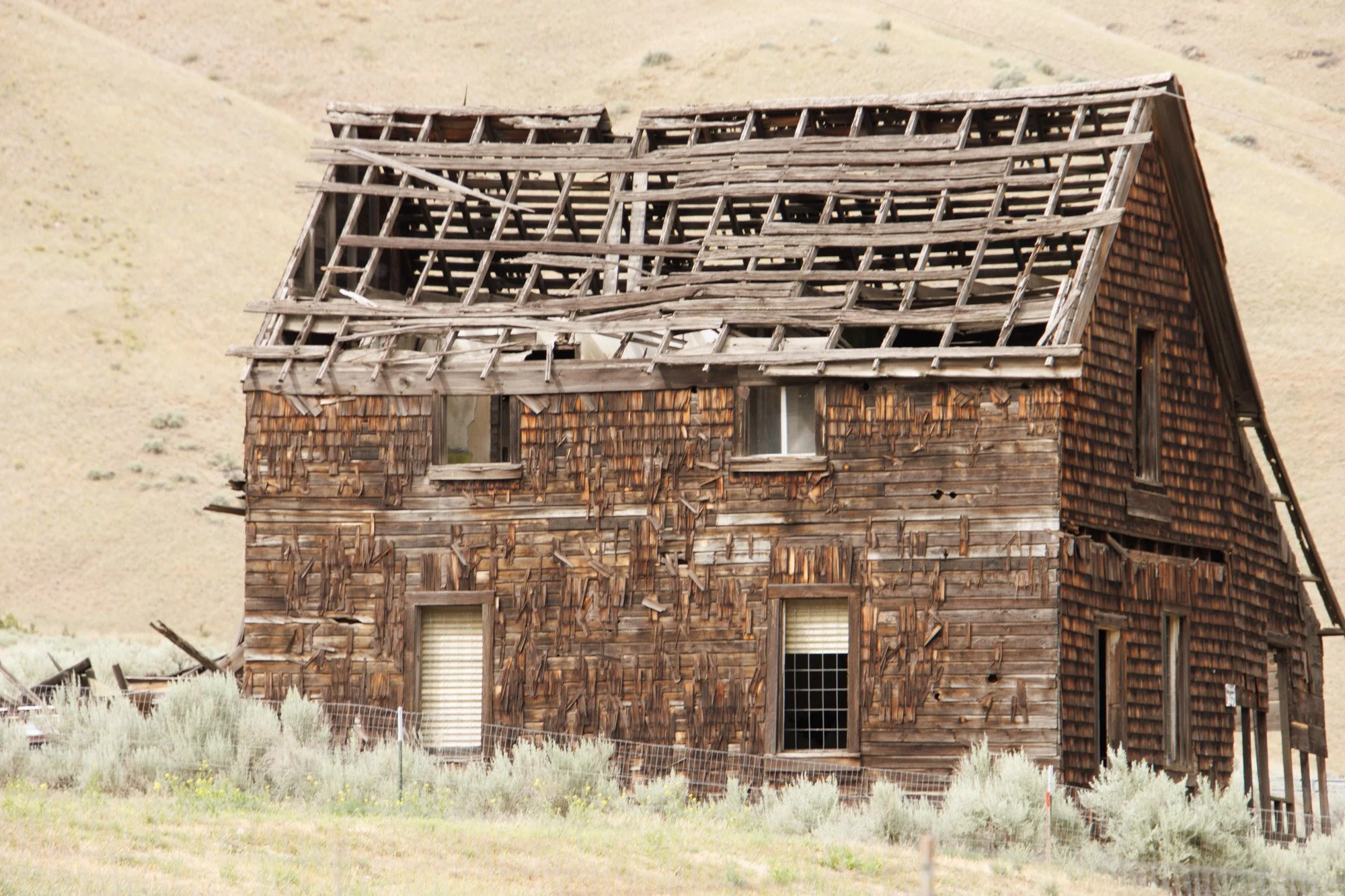
Former well habitated building
Nighthawk was platted in 1903. Two years later a group of 15 engineers walked into town to build of a section of the railway from Oroville to Princeton, B.C. Teams of horses with wagon loads of machinery and many more men arrived daily. Surveying and building the railroad in 1905 brought another boom to the town. There were estimates that Nighthawk had 3000 miners living in tents during those most busy years.
In those early days Nighthawk was an active place with three saloons, a “building of special interest”, fast horse and rock drilling contests, and dances throughout the year. By 1950, with the end of mining in the area, the community lost its prominence and started to decline. The Nighthawk Post Office operated from 1902-1970, and the estimated population in Nighthawk is reported to be 5-12 people.
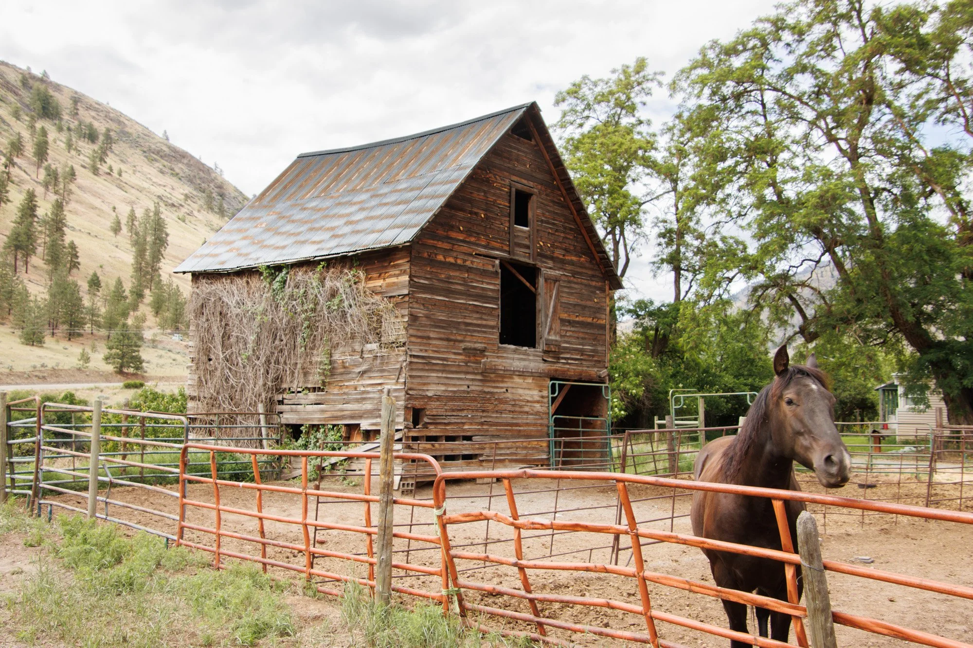
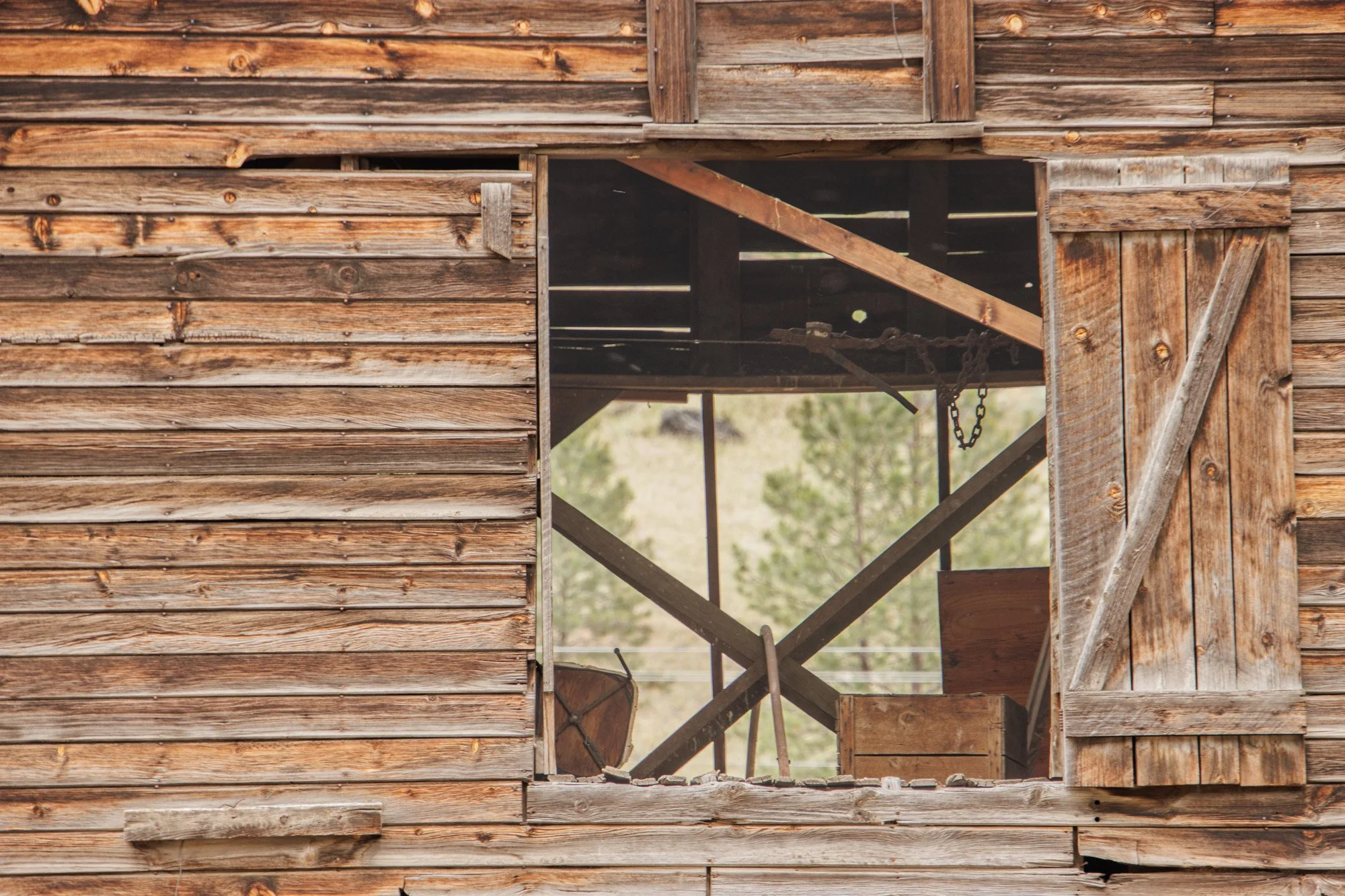
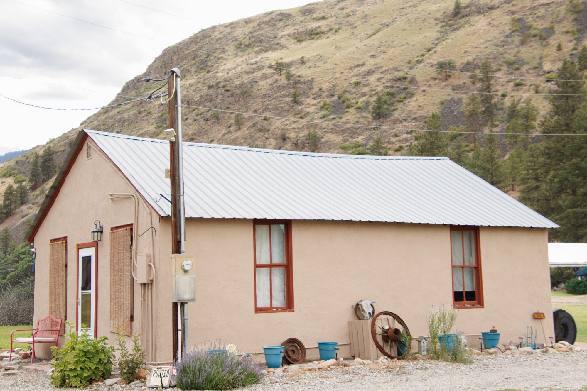
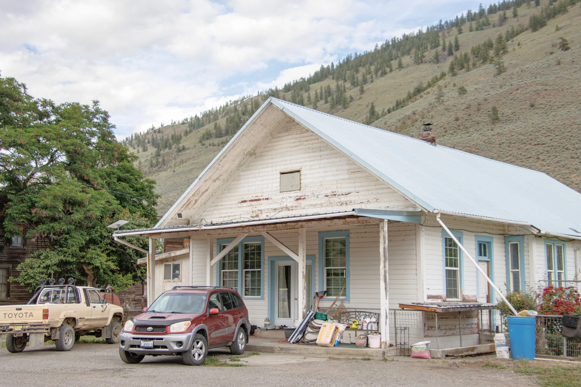
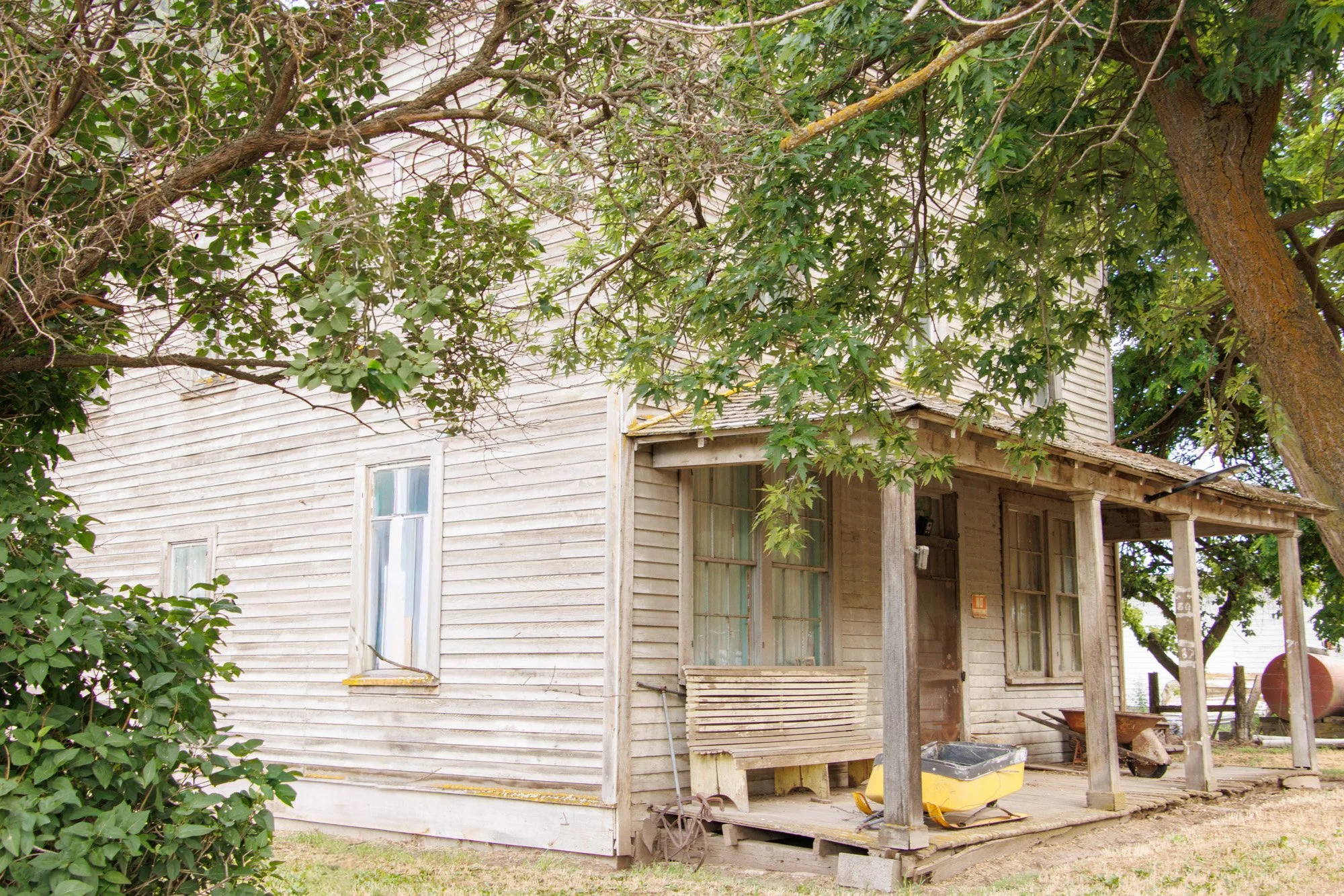
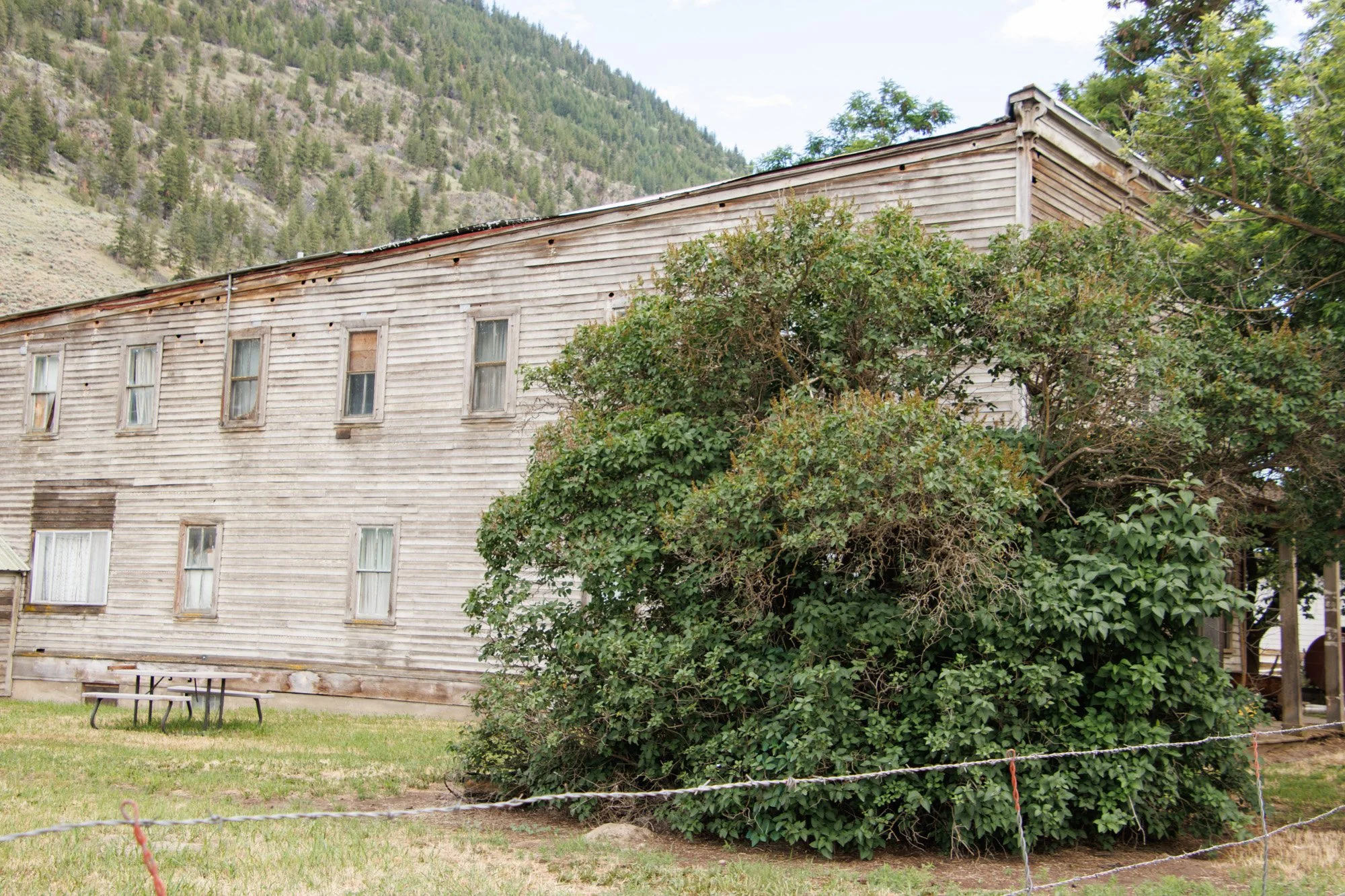
Returning to the first location we found people outside working on their property.. They were very curious why we were there but they were very cordial and helped us answer many of our questions. Wendy has been living in this area since she was a young child. and is now living in the same house her grandfather built. She also pointed out the most well known buildings that are still being used, although not in the same way as they were decades before. She recalled some of those buildings. including a barn that was previously a pink painted brothel, and the hotel where as a child she and her siblings used to play inside. Wendy later sent me some helpful old news articles about the town that were very interesting.
Old Molson
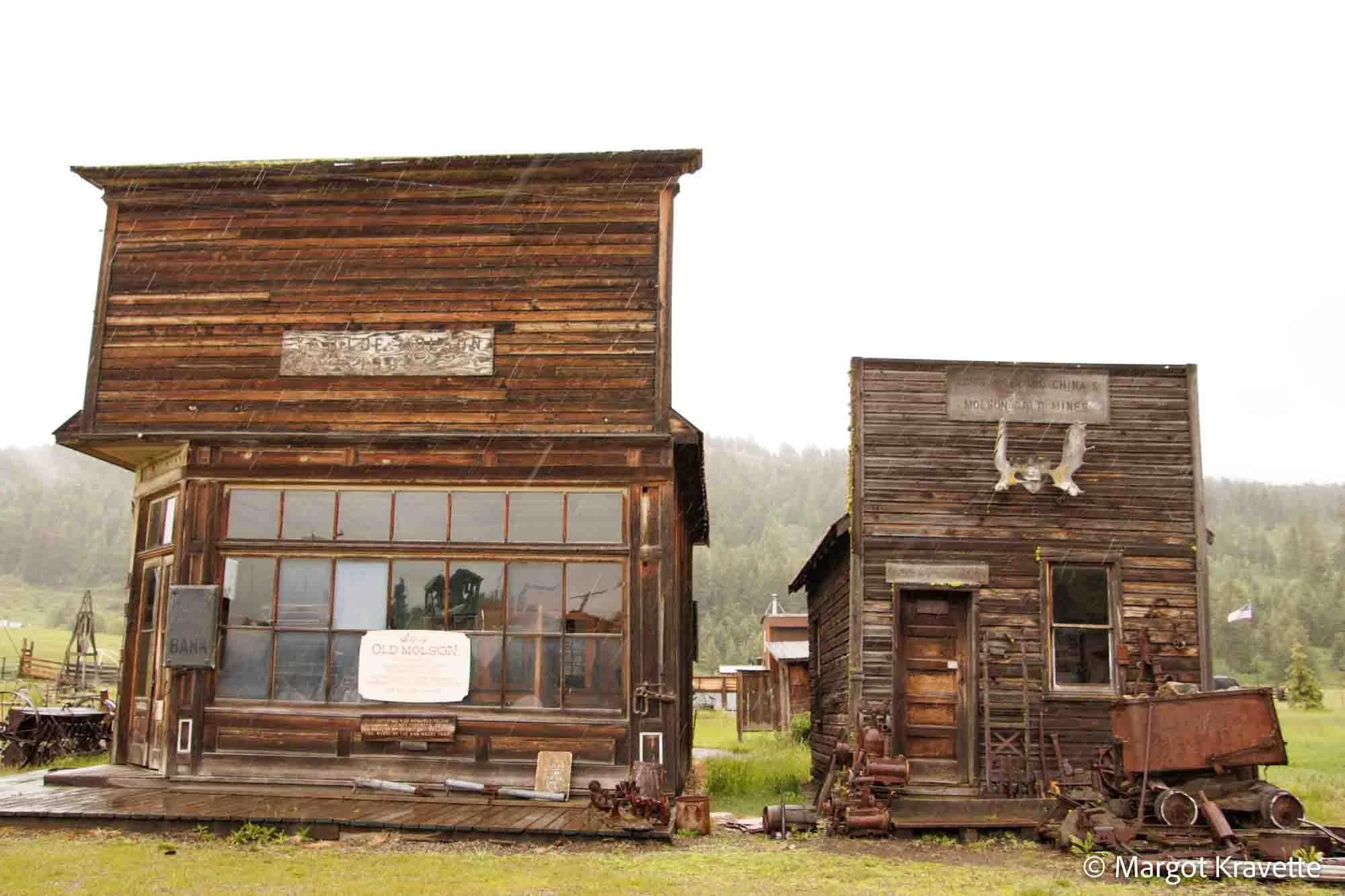
The Molson Bank and Mining Ofifice
In 1896 gold ore was discovered in Molson, just about one and a half miles south of Canada. Thinking positively, several Montreal investors, John W. Molson, owner of the Molson Bank, and investor George Meacham, who saw an opportunity to grow the town into a trading center. They surveyed and layed out the lots, on both sides of the American-Canadian border. In 1900 lands were opened by the Colfax Indians to homesteaders which added to the population in town.
Unfortunately, the mines did not do as well as expected, and with their demise, agriculture became more important. Starting in 1905 rumors that the railroad was coming became very popular. Residents and investors staked their homesteads, anticipating a windfall. The population grew rapidly and within a year Molson had built many homes and businesses, including a 34-room Tonasket Hotel, a couple of saloons, a restaurant, a school, a newspaper, a bank, an assay office, a livery stable, and more.
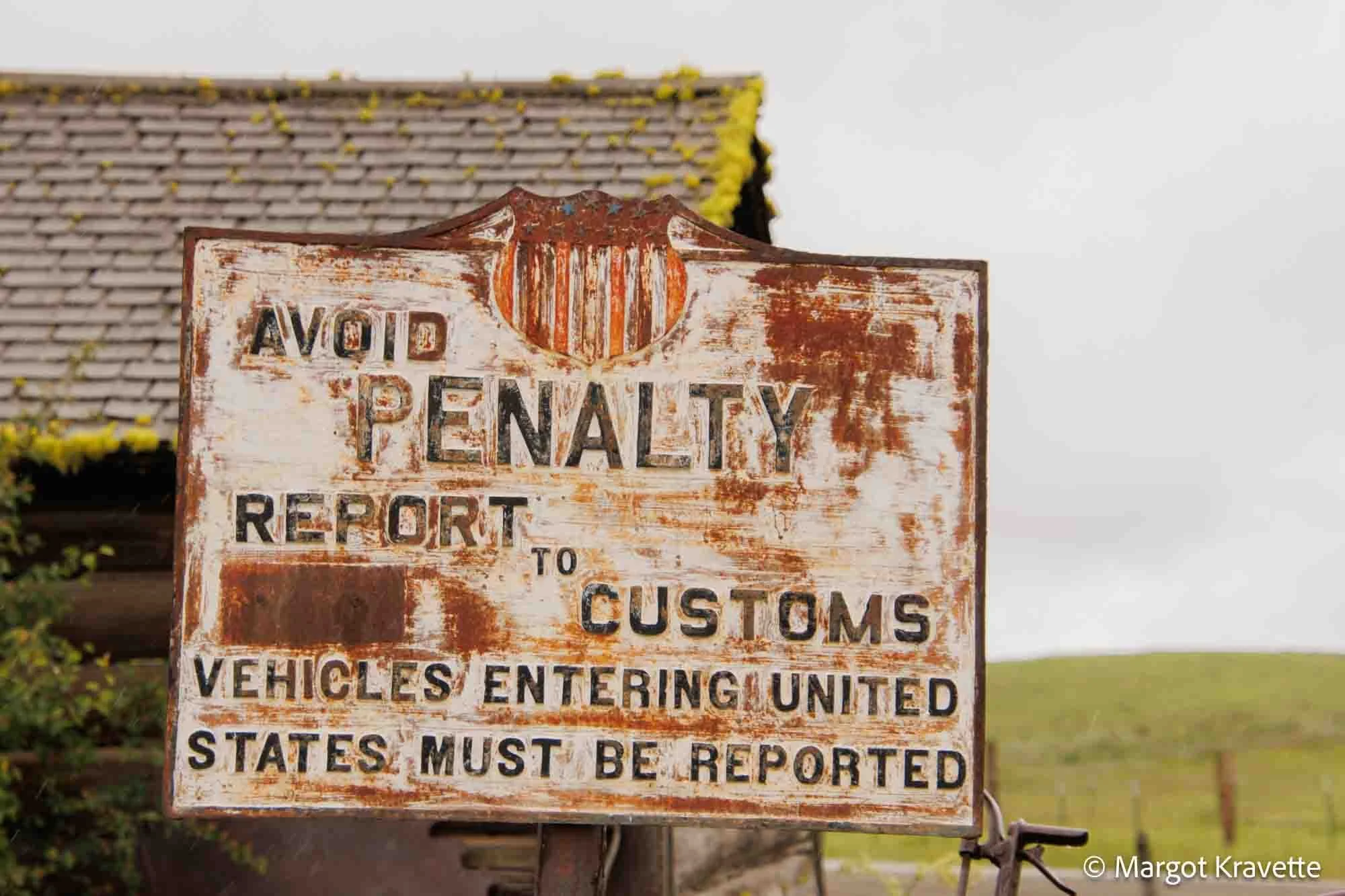
At the same time, J.H. McDonald, who ran a livery barn and stage line, filed for a homestead on 160 acres. Those acres included the 50 acres that the Molson Town Site Company was developing, and the hotel and many other business were already on this land. Soon after, McDonald published a notice for “all people living or residing or doing business on the tract of land to stay off”. It became clear that the Old Molson would no longer be the place to live or have businesses. So almost everything, including people, businesses, and the post office, were moved to the New Molson site, just one half mile north of the original.
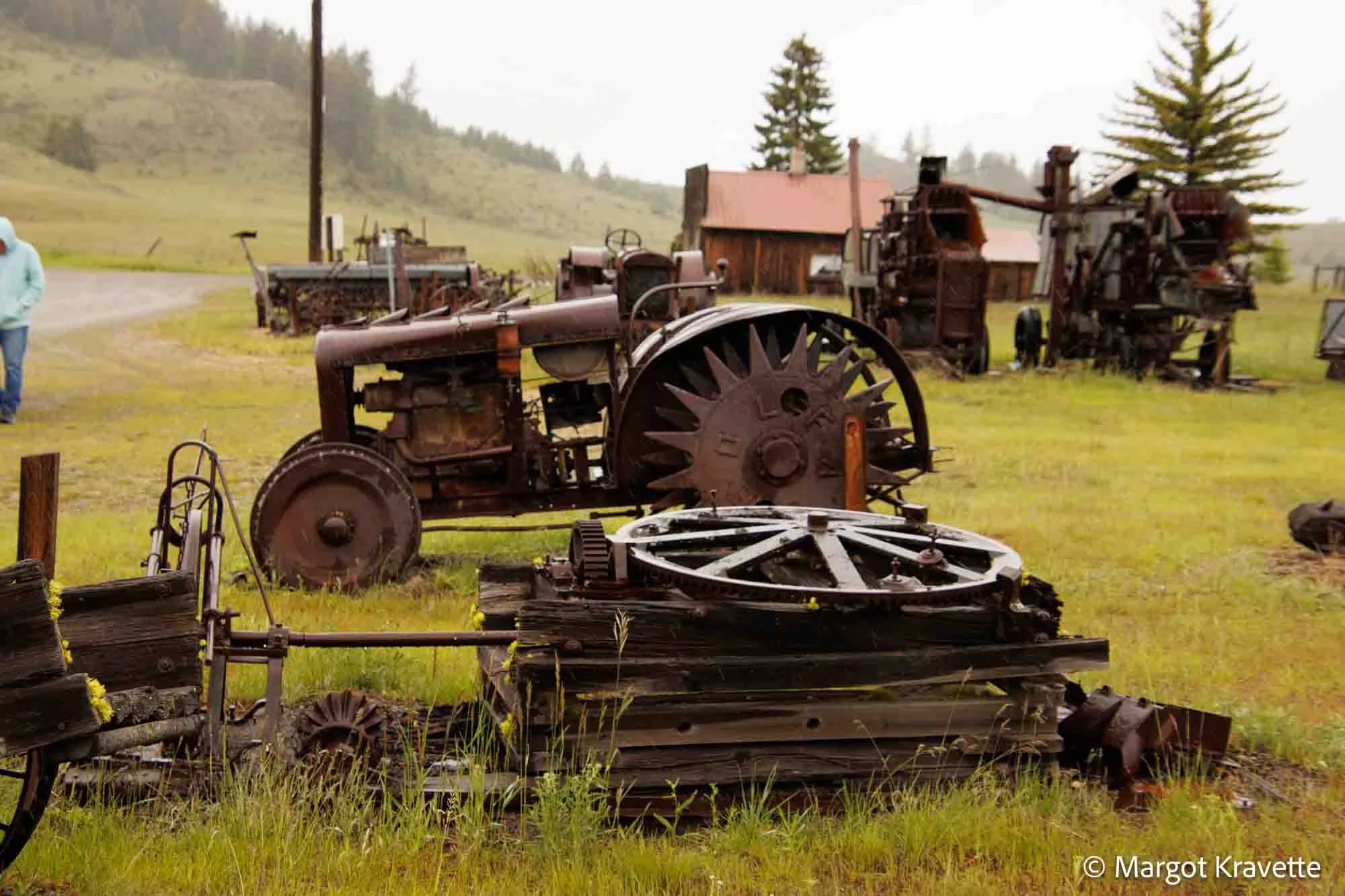
Old Molson is once again sitting on its original land with many remnants of items that had been functional in the early days. Homes and business and many types of farming and building tools are all spread around the vast acreage. There is so much to think about what life was like in those days.
From the Old Molson sign: WELCOME, FOLKS, TO OLD MOLSON, FOUNDED IN 1900. SHE WAS A LIVELY MINING CAMP UNTIL A FARMER CLAIMED THE WHOLE TOWN WAS PART OF HIS HOMESTEAD. WHILE THE DISPUTE RAGED. DISGUSTED CITIZENS FOUNDED NEW MOLSON HALF-A-MILE NORTH. PEOPLE, BUSINESSES, THE POST OFFICE EVERYTHING MOVED TO NEW MOLSON. ITS RAILROAD STATION, ELEV. 3708 FEET, WAS THE HIGHEST IN THE STATE. THE ORIGINAL MOLSON FADED AWAY. BUT ITS MEMORIES LINGER IN THESE WEATHER-WORN BUILDINGS.
New Molson
Molson did well until the depression came. The railroad stopped coming to Molson in the mid-1930’s and the focus of the town became agriculture. People were living in the Old Monson location, so there are few families and businesses in the New Molson. A popular joke in Molson was that the town has a population of 25 “including dogs and cats” and over 3000 visitors visiting the schoolhouse museum each year.
Molson School Museum
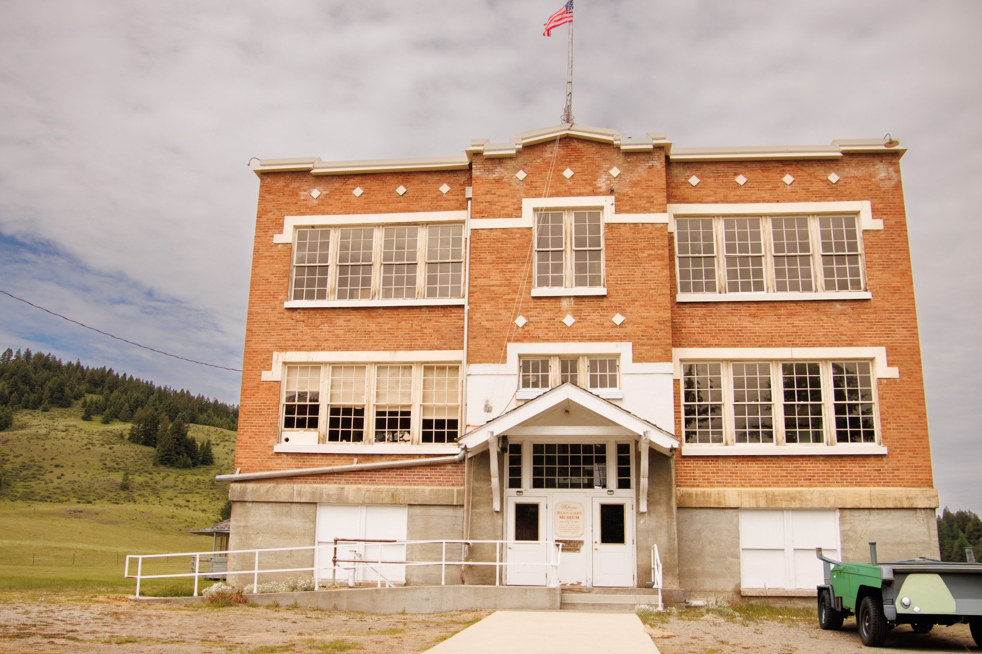
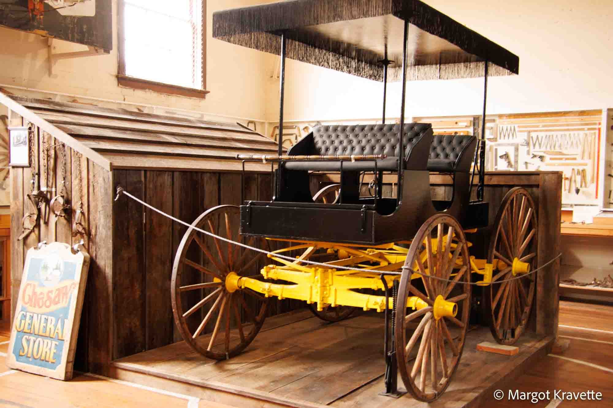
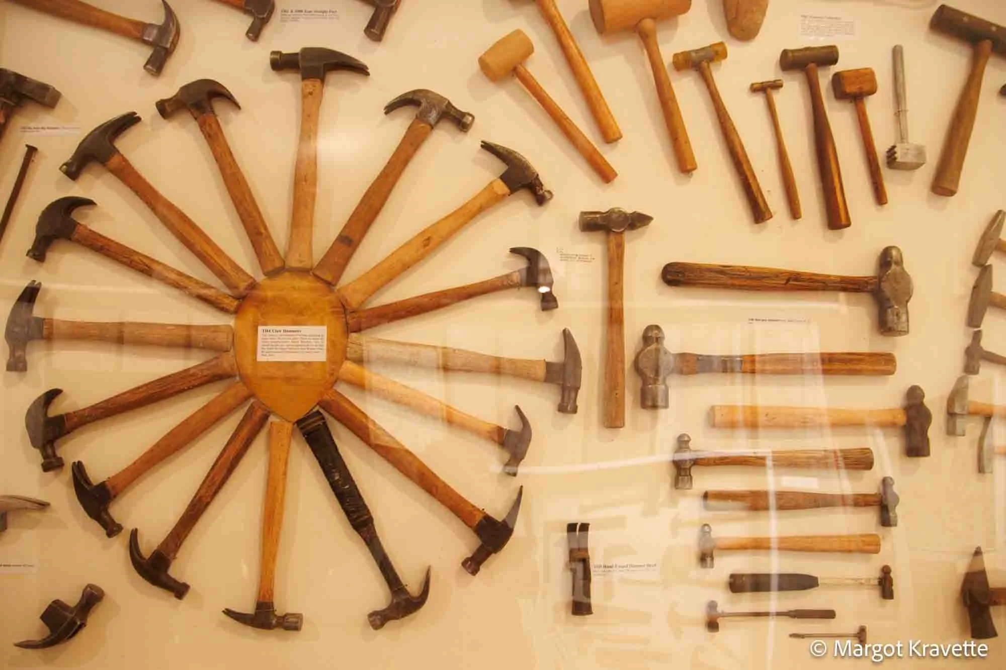
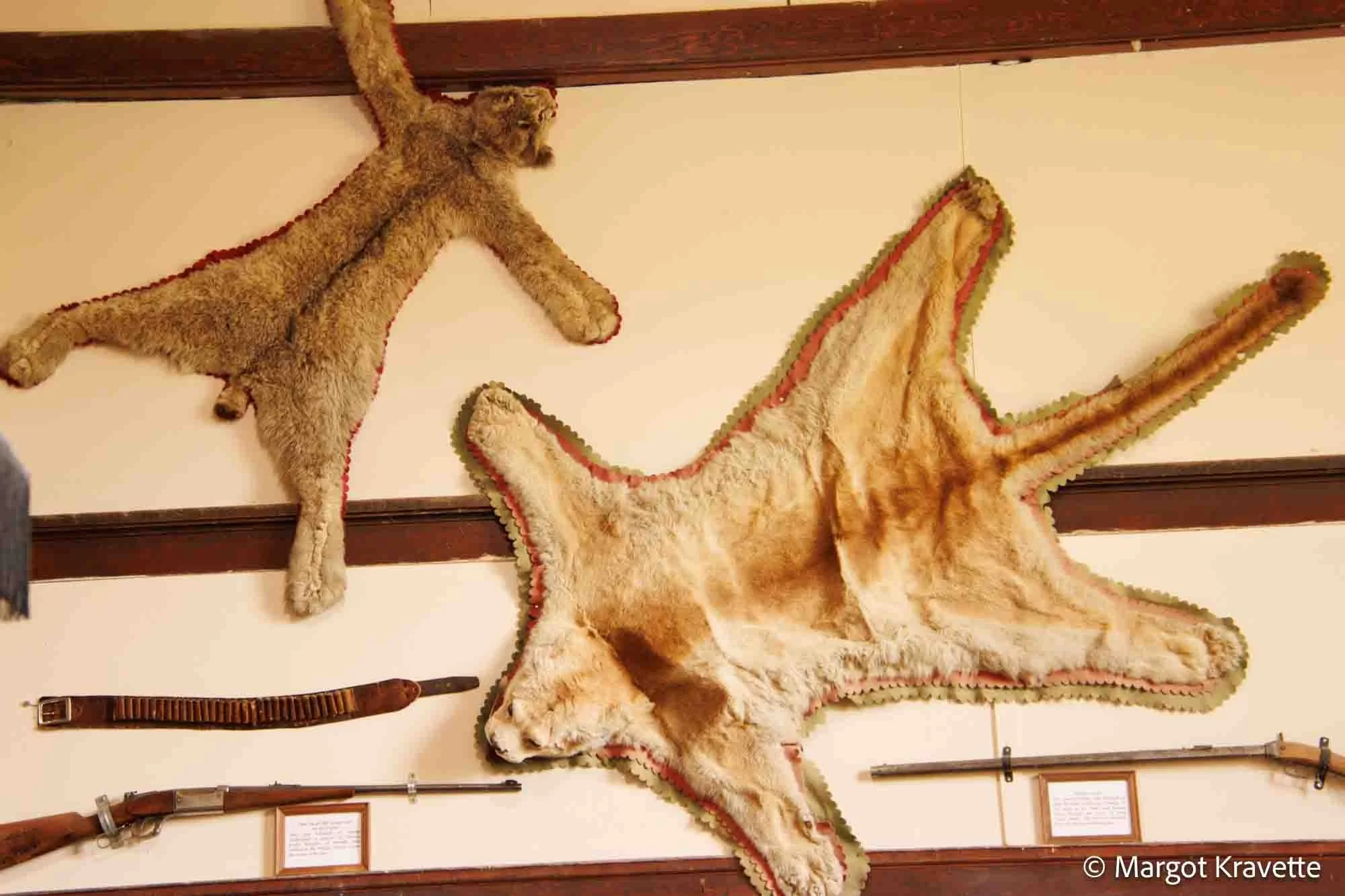
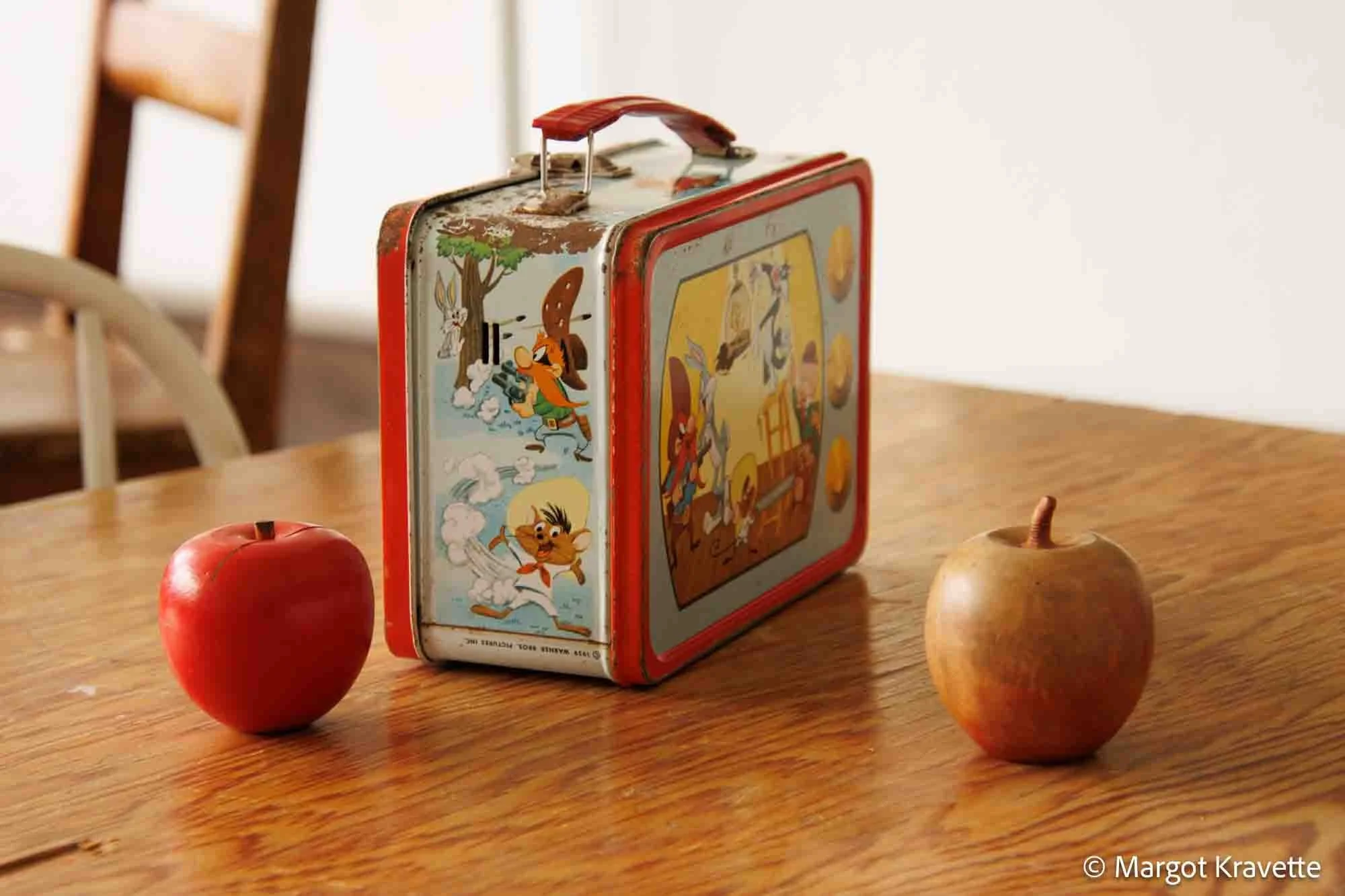
In the 1950’s Molson school, had a daily attendance of 110 to 120 pupils. The school itself was closed to students in 1969, with the last graduating class in 1962. Residents of the area purchased the school in 1970, and in 1982 the building opened as the 3-story Molson Schoolhouse Museum. Volunteers did a lot of the work to make the building usable and it’s an outstanding place to spend time to see and understand what life was like in Molson “in the day”. Each floor in the museum is packed to its gills. It is one of the best small-town museums I’ve ever visited, from sports, transportation, homemaking, school and so much more. The top floor has a room set up as a schoolroom, including a lunchbox and apples for the teacher. The gift shop is open every day the museum is open. It not only sells a small amount of memorabilia and a coffee business, but you can also spend hours talking with the volunteer ladies who staff the shop.
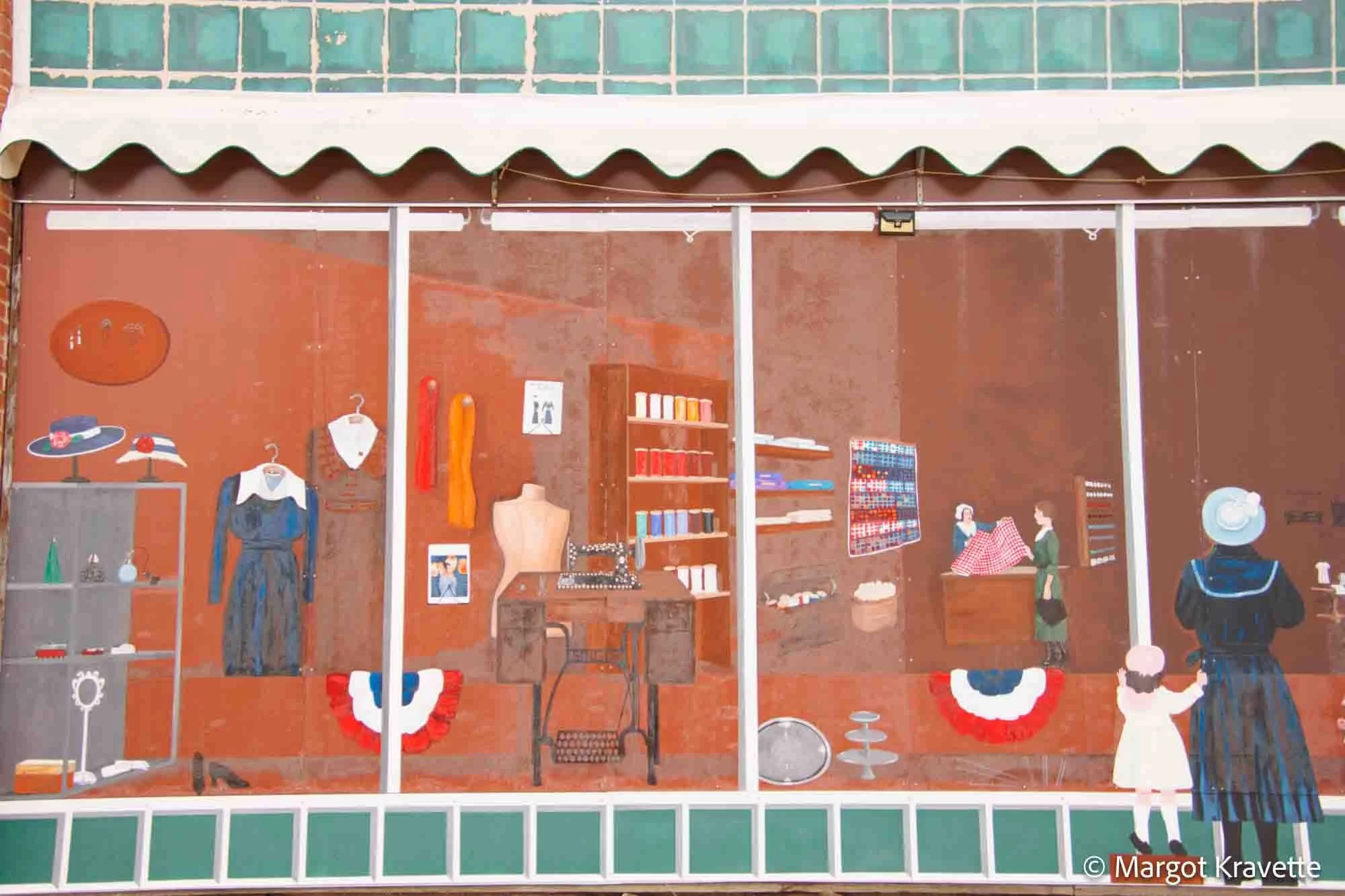
Molson Trading Company
Across the street from the school is the former Molson Trading Company. Although it no longer has business inside, its large windows facing the school have been painted to bring back memories of those having lived and worked there. We met several volunteers who told us what it was like during those days. The museum is the busiest place in Old Molson. One life-long resident told us with a note of pride that “You can’t buy one thing in Molson, for it is the sense one gets of time having stood still that gives the place its appeal.”
Travel Between Molson and Chesaw
Leaving New Molson, we really weren’t exactly sure how to get to our next stop, other than knowing it was in the northeast side of Okanogan County. As we drove away from the museum, we were told to just stay on the road we were on. The road was called the Nine Mile Road which gets its name from a historical settlement known as the Nine Mile Community, established in 1906. The road and the lost ghost town date back to the early 20th century boom days, when the Great Northern Railway was built through the region. The Nine Mile Road today parallels and sometimes utilizes sections of the old, historic railroad bed that connected the high-altitude mining towns. The road was not paved and was covered in gravel, so our ride to Chesaw was quite bumpy.
We were also getting hungry and thought we should top off the gas tank. When we turned on the car’s navigation it had no internet access, and that was true in most of the tiny communities. we were visiting. There were also no places to stop for a bite to eat, or to relieve oneself as needed.
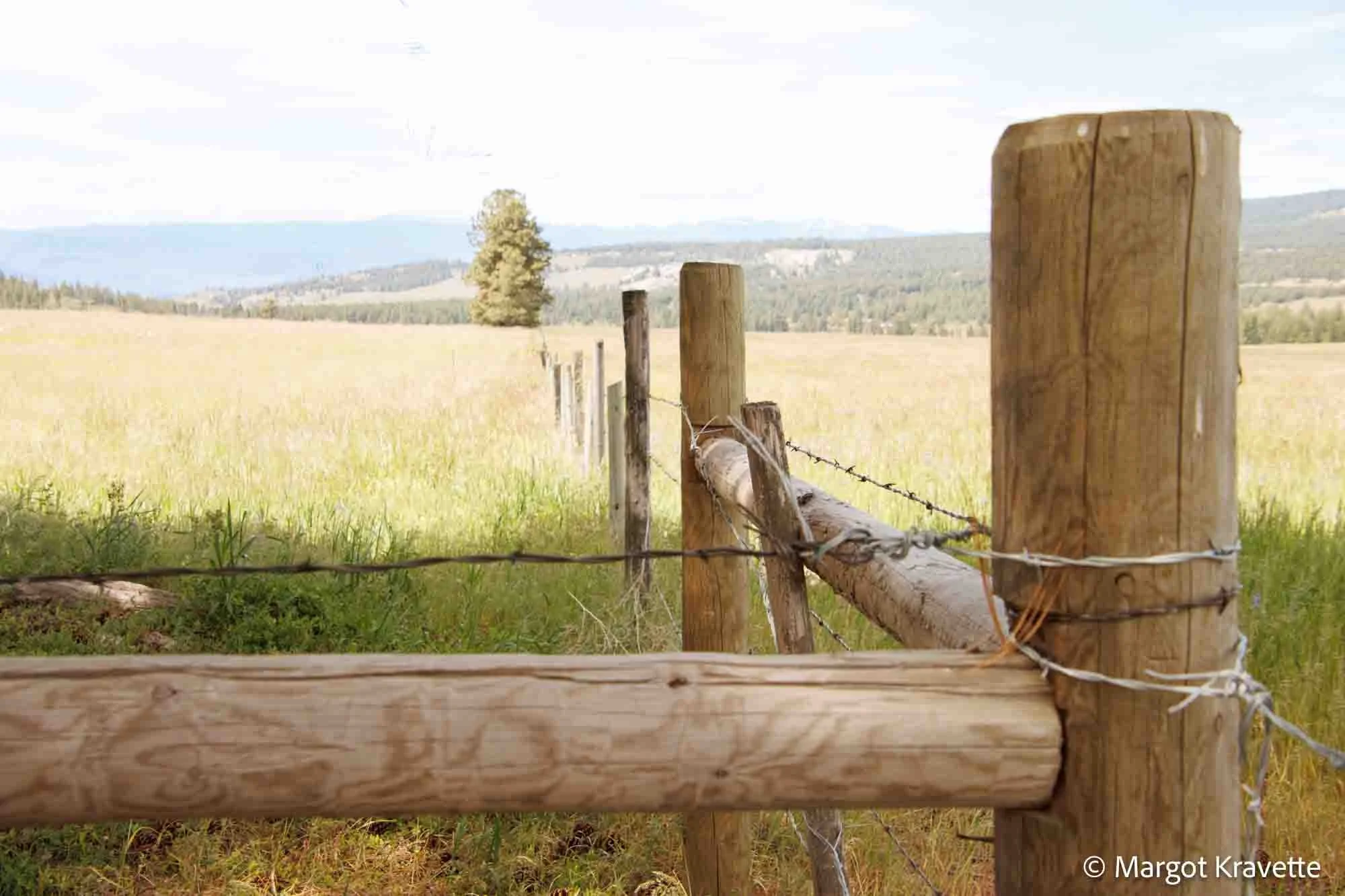
US and Canadian Borders between Molson and Chesaw
A mile or so ahead we saw a sign indicating we were in Canada, and a very short distance later we saw two young men standing near the side of the road talking. Although they were not wearing any uniform we thought perhaps they were Canadian and were there to check our passports. But no. One was showing his friend the land and how the two different countries designate their borders. He informed us there was no border patrol in those areas. We learned that Canada secures an extensive network of remote sensors, aerial surveillance, and intelligence sharing that are embedded in remote areas and along roads leading to the border. He was also helpful directing us to Chesaw. This turned out to be one ofnthe most beautiful areas we had seen. We drove through forests in shades of green and followed rivers along our drive. There were no people, very few animals, and it was very peaceful for the nine miles we drove to Chesaw.
Chesaw
We ultimately found the small town of Chesaw whose name recognizes Chinese settler. Chee Saw, arrived in the late 1800’s and married a Native American woman. Similar to other places we visited, the town emerged rapidly, but only for a short time during the gold rush from 1896-1900.
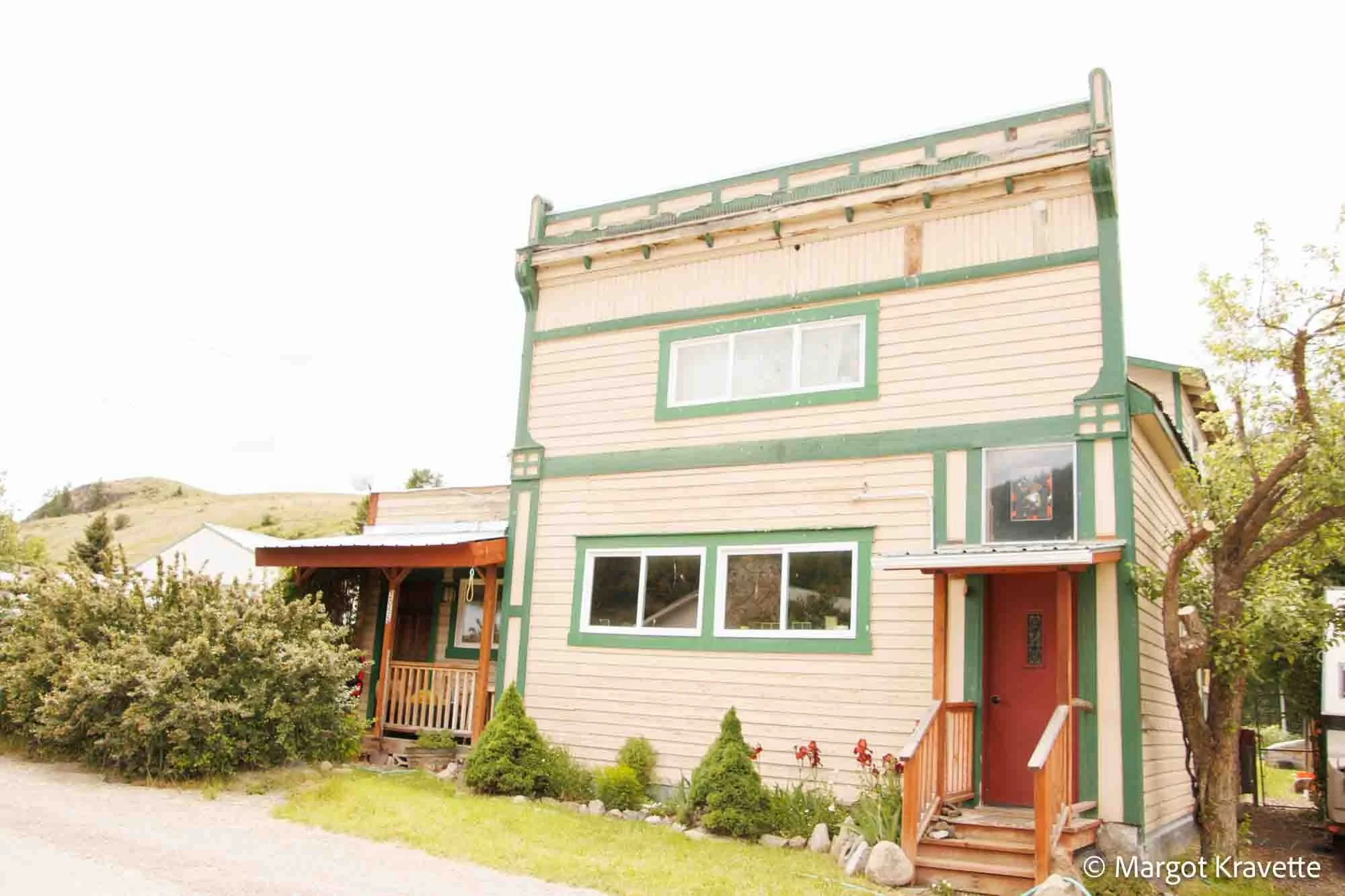
Chesaw Bank (rt) and addition for Post ‘Office (l)
Similar to Nighthawk, there were still several homes and businesses in Chesaw. We spoke to Richard and his grown daughter about the house they live in. During the early days their house had been the bank, and its expansion had been the post office. We saw several small buildings that were not open because, as I learned, businesses are closed on Mondays. In addition, the closed tavern had a sign that it was for sale. Additionally Chesaw’s Facebook page had a very long discussion among residents and non-residents about what was going to happen with the tavern – would it be opened as it’s most previous style or will it be turned into a 4-star restaurant. It appears that no decision was made..
As we were leaving the town we noticed that the Chesaw Mercantile store was open. Hoping for a bathroom and something we could purchase for lunch we entered what seemed like a large, old century space that sold some of everything. A woman and man were sitting at around wooden table with nvery little to say. I did purchase a small package of peanuts. When I asked about bathrooms the woman pointed with no words, to the annual rodeo field across the street. A lone shack stood in the middle of a high grass field with both “women and men” inscribed on the building – in French. They did their jobs.
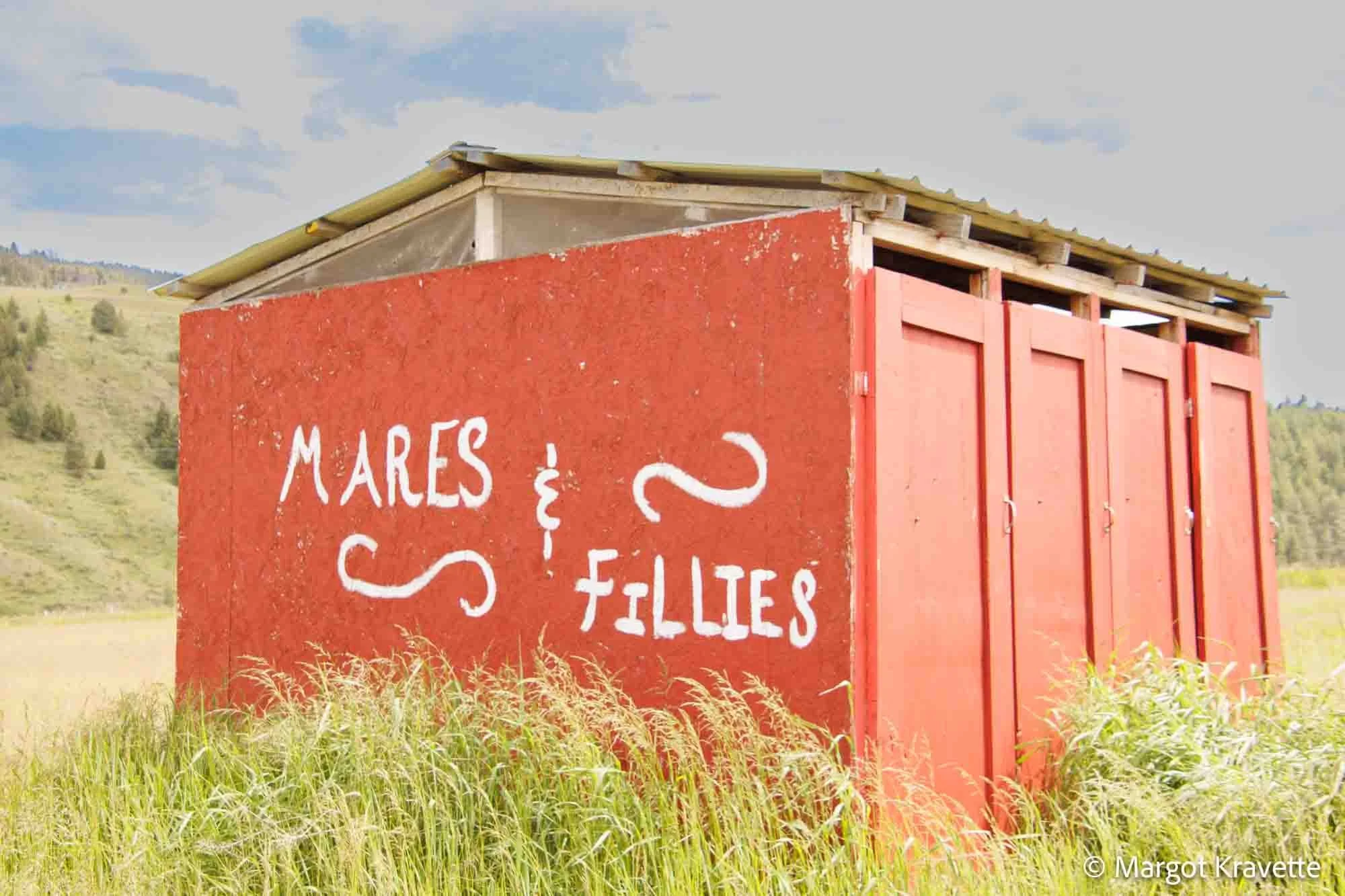
Mares & Fillies
Bodie (not to be confused with Bodie, California)
Just south of Bodie Creek and as far as the northeast corner of Okanogan County lays the ghost town of Bodie, which originated as a mining town. Mining started in 1890’s by Henry DeWitz who staked out his claim as soon as the Coleville Reservation opened up mining. At that time the development took place in the town of Toroda, 4 miles south of Bodie. However, with the gold mine farther north, the town of Toroda literally had to move closer to the mine and brought all of its town buildings including its livery barns, a blacksmith shop, the Galilliac Hotel, a butcher shop, a post office, and homes, The new town was named Bodie.
In 1902 DeWitz sold his gold mine to the Wrigley Brothers for $80,000, the same brothers as the gum and baseball Wrigleys. In 1901 the Wrigleys built the steam-powered mill and established what became The Bodie Mining Company. From 1916-22, with World War I and declining gold value, there was once again no production from the mine. But it reopened in 1934 with a remodel and a new ownership, Northern Gold Corporation. The mill increased its output to 1,300,000 tons of gold with miners working there 3 shifts a day. But the mining ceased again in 1941 when the government ordered all non-essential industry during World War II to close. The truth is that the Bodie Mill was one of the largest output gold mills, and even to this day there are discussions about the workers of the Bodie mill.
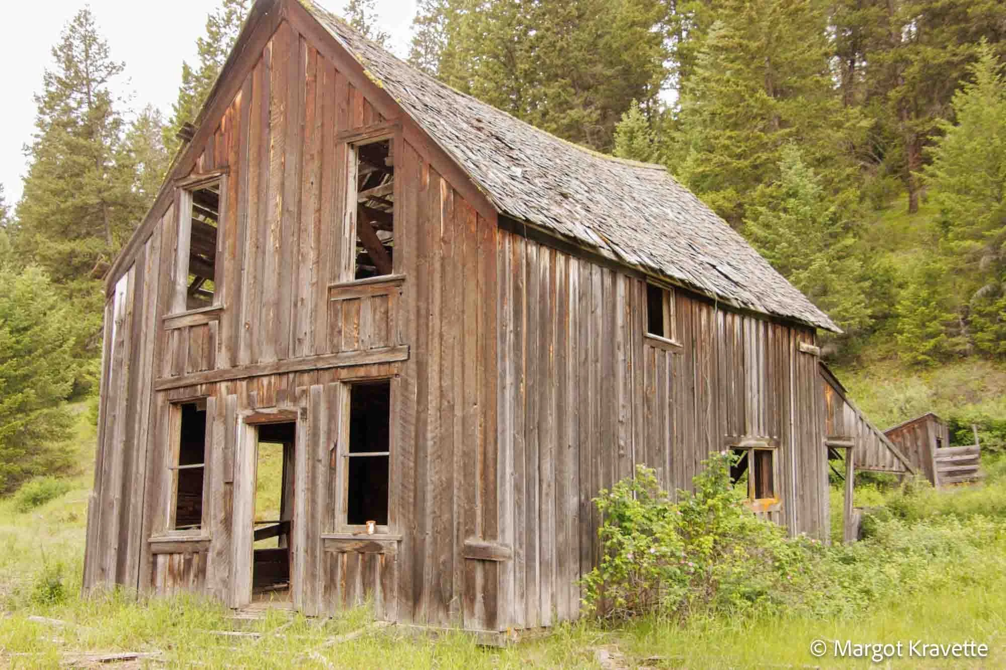
Previous Boarding Home
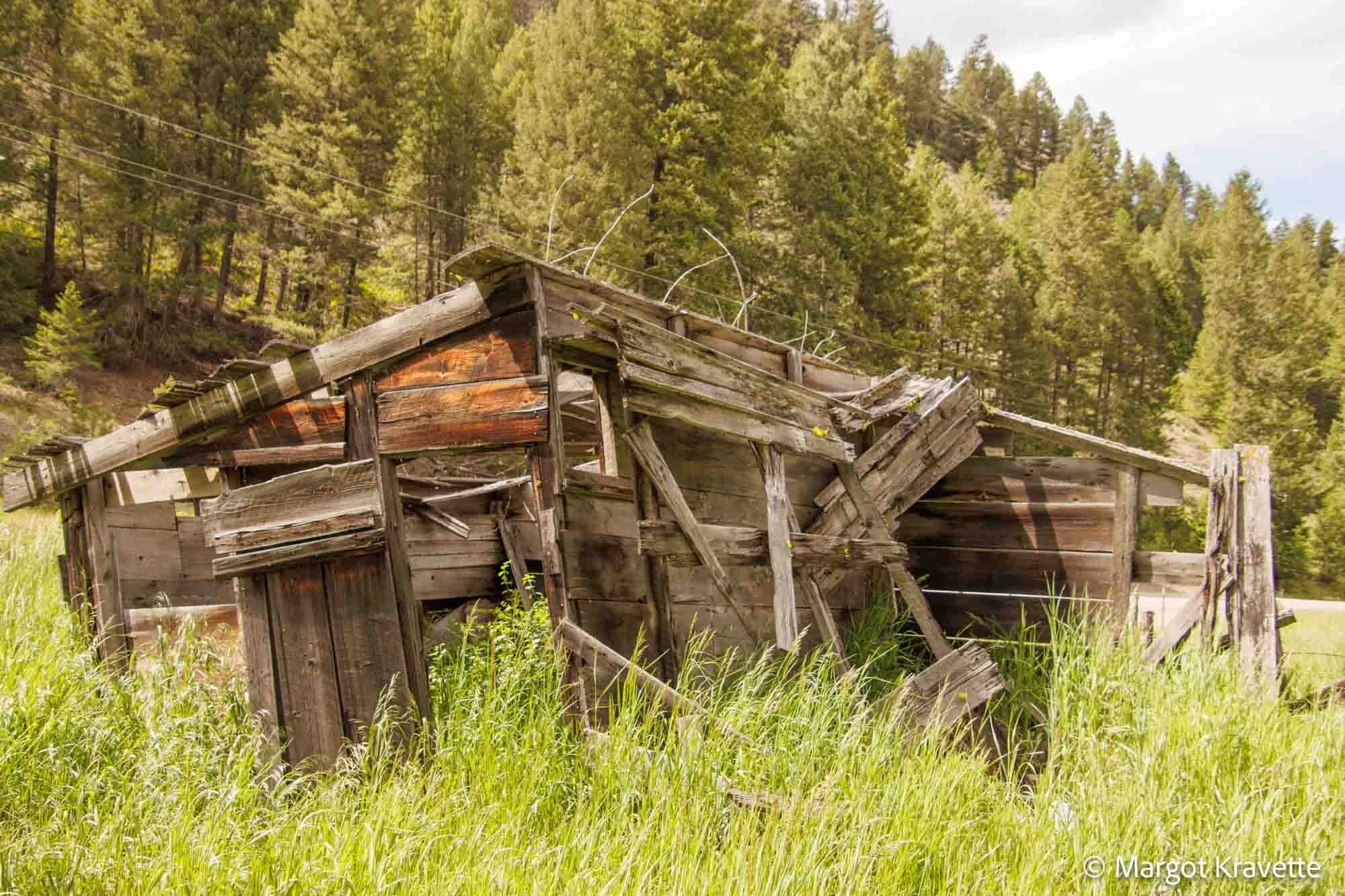
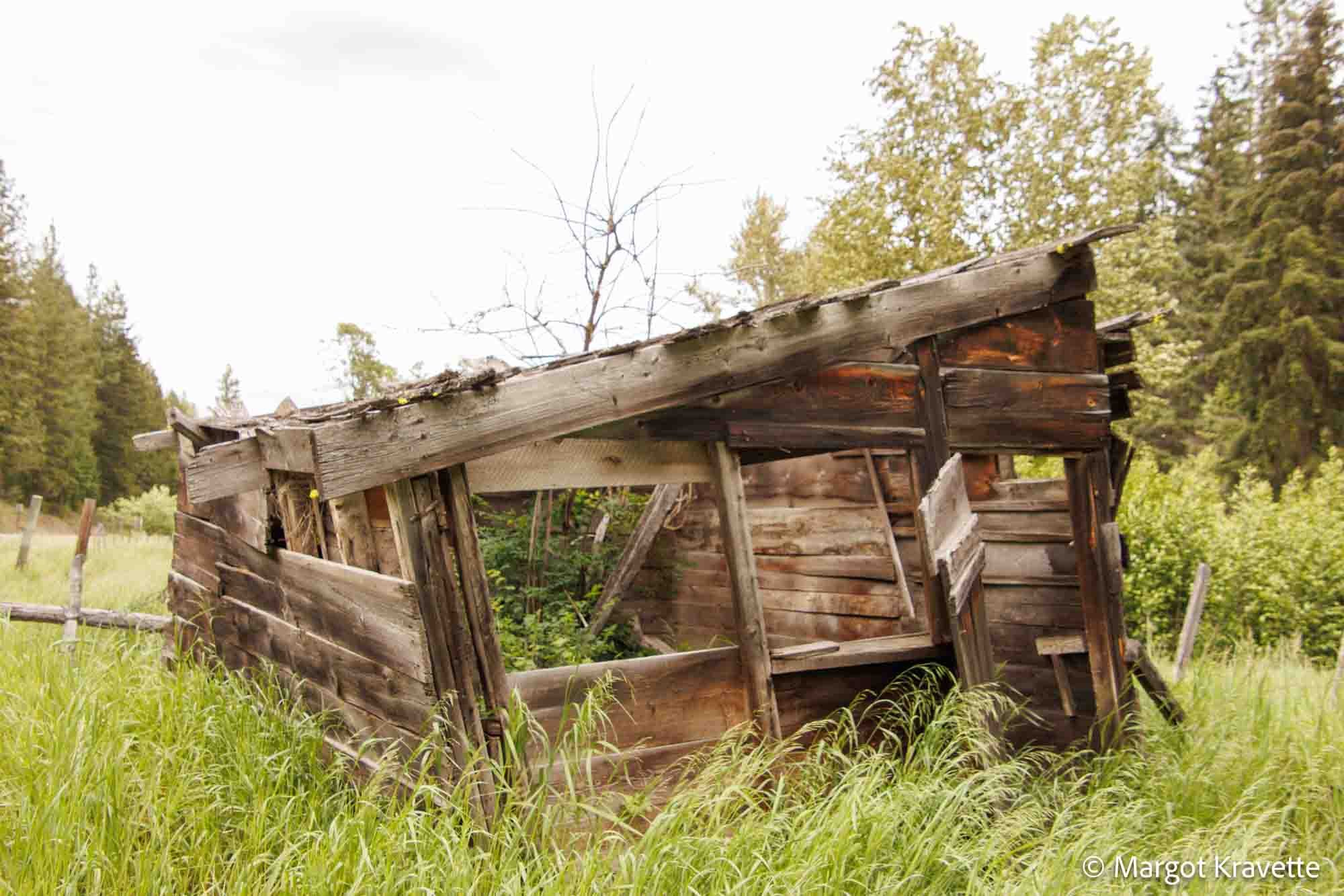
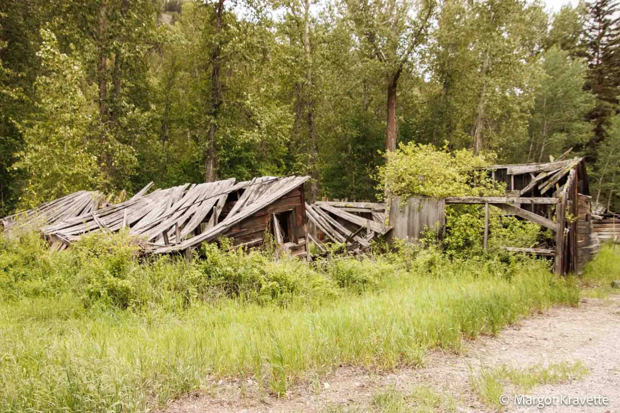
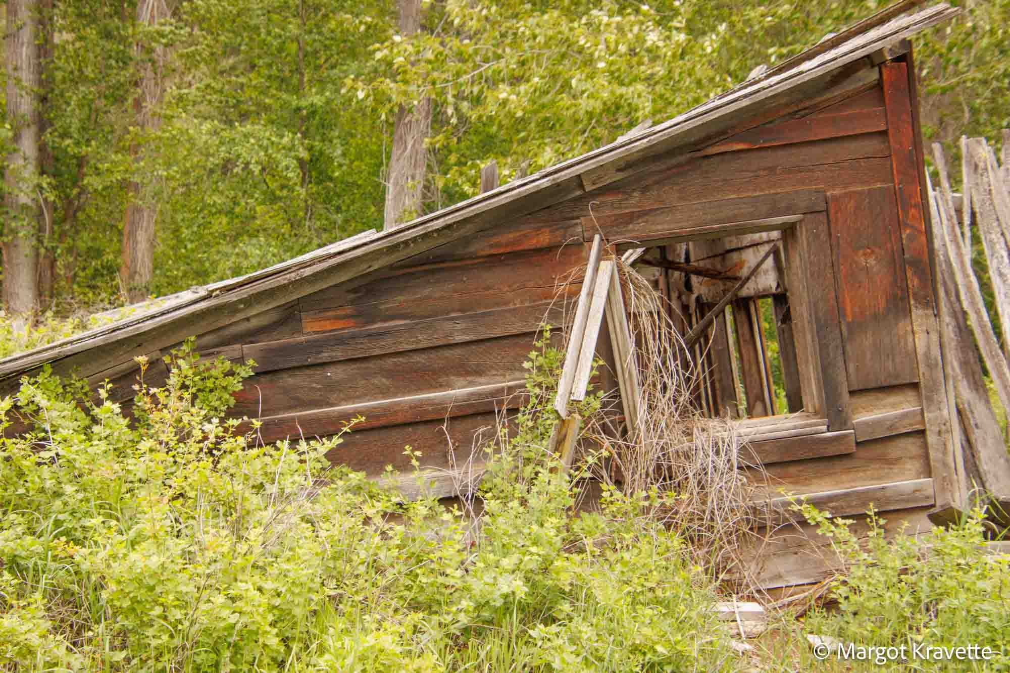
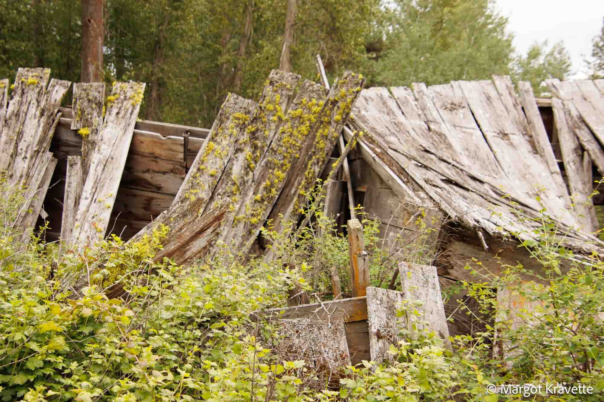
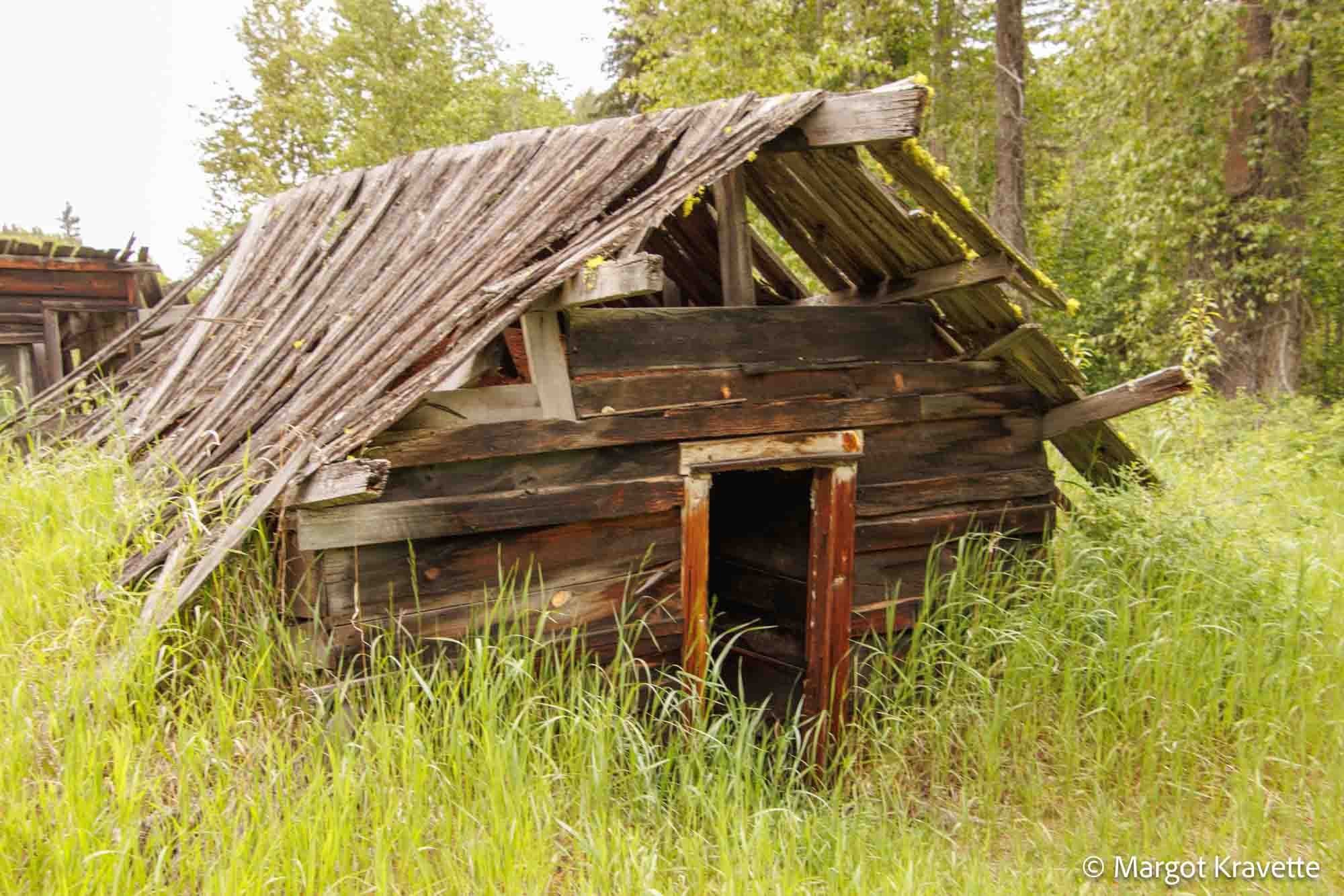
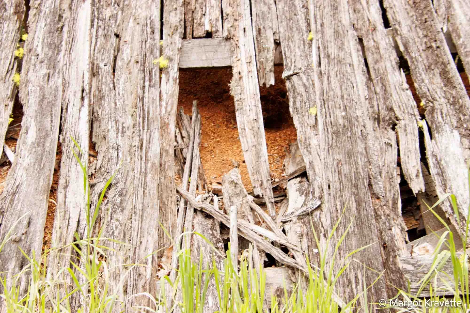
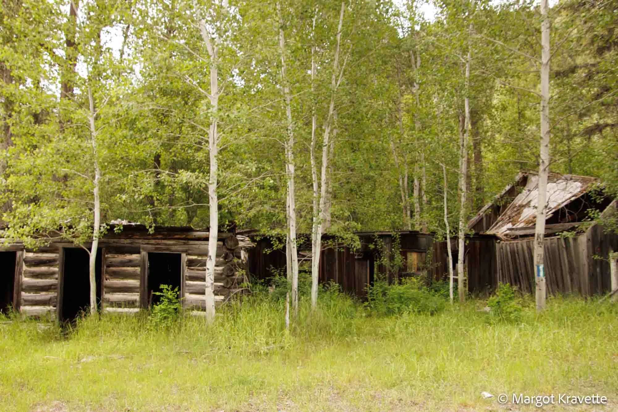
In 1962 a fire destroyed the mine’s infrastructure. Many of the structures in the town of Bodie were destroyed. History has suggested that those structures included a hotel, a cookhouse, the mill, a church, and a saloon. Across the street from the destroyed buildings sits what is considered a formal boarding home. That building’s frame appears to be in relatively good condition based on its external walls.
Okanogan County Historic Museum
For those looking into regional ghost towns like Old Molson or Bodie, the Okanogan County Historic Museum and the Wilson Research Center in the city of Okanogan are very impressive. Barry George, the 40-year volunteer in the Wilson Research Center, gave us access to so many resources. The searchable Online Collections Database holds over 10,000 historic photographs and documents that made us fortunate to use that database and to access many older newspaper articles that gave us hints of the histories in each of the towns. A special thank you to Barry George for helping us with so many of the resources in the Research Center.