Makah Indian Reservation
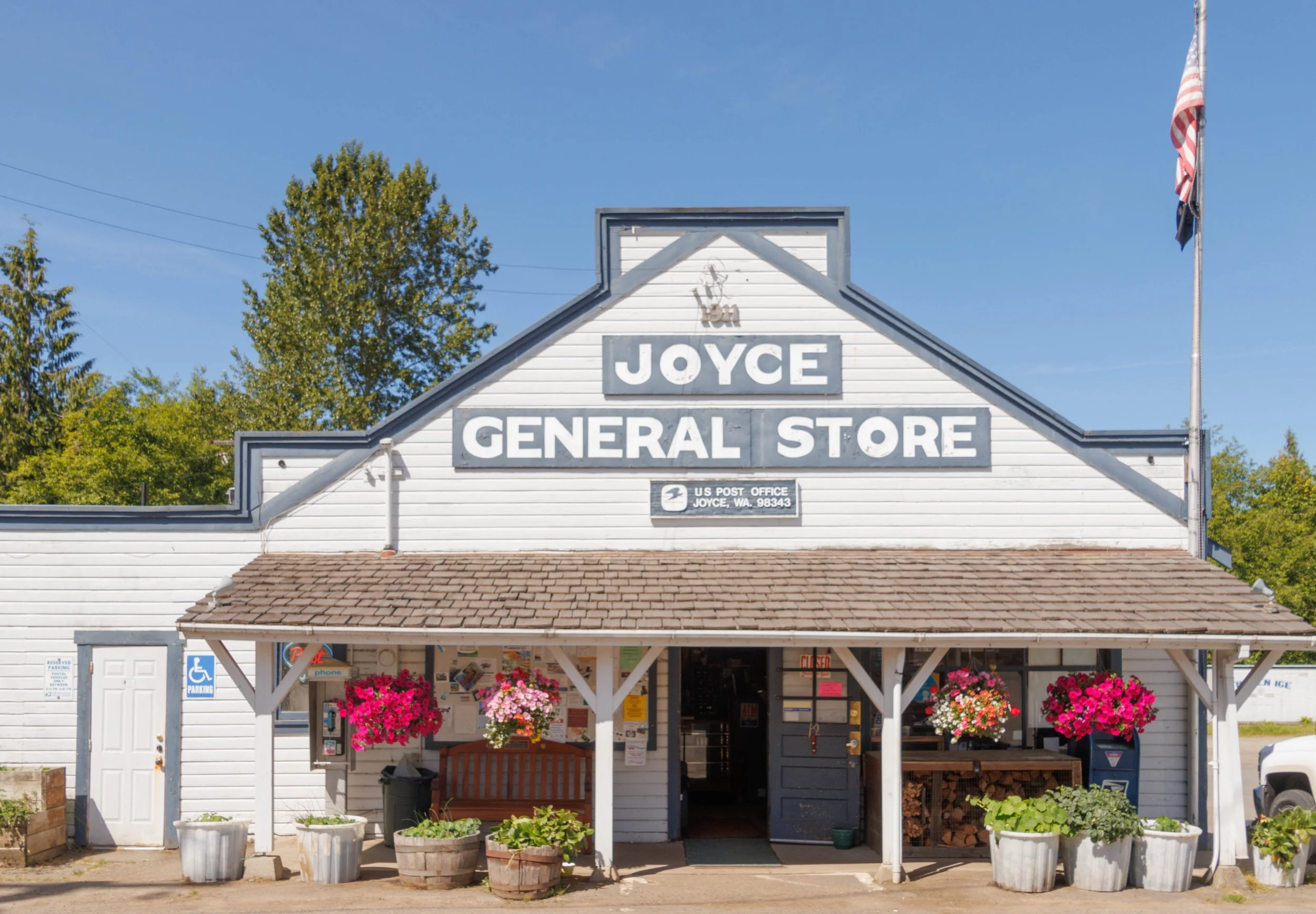
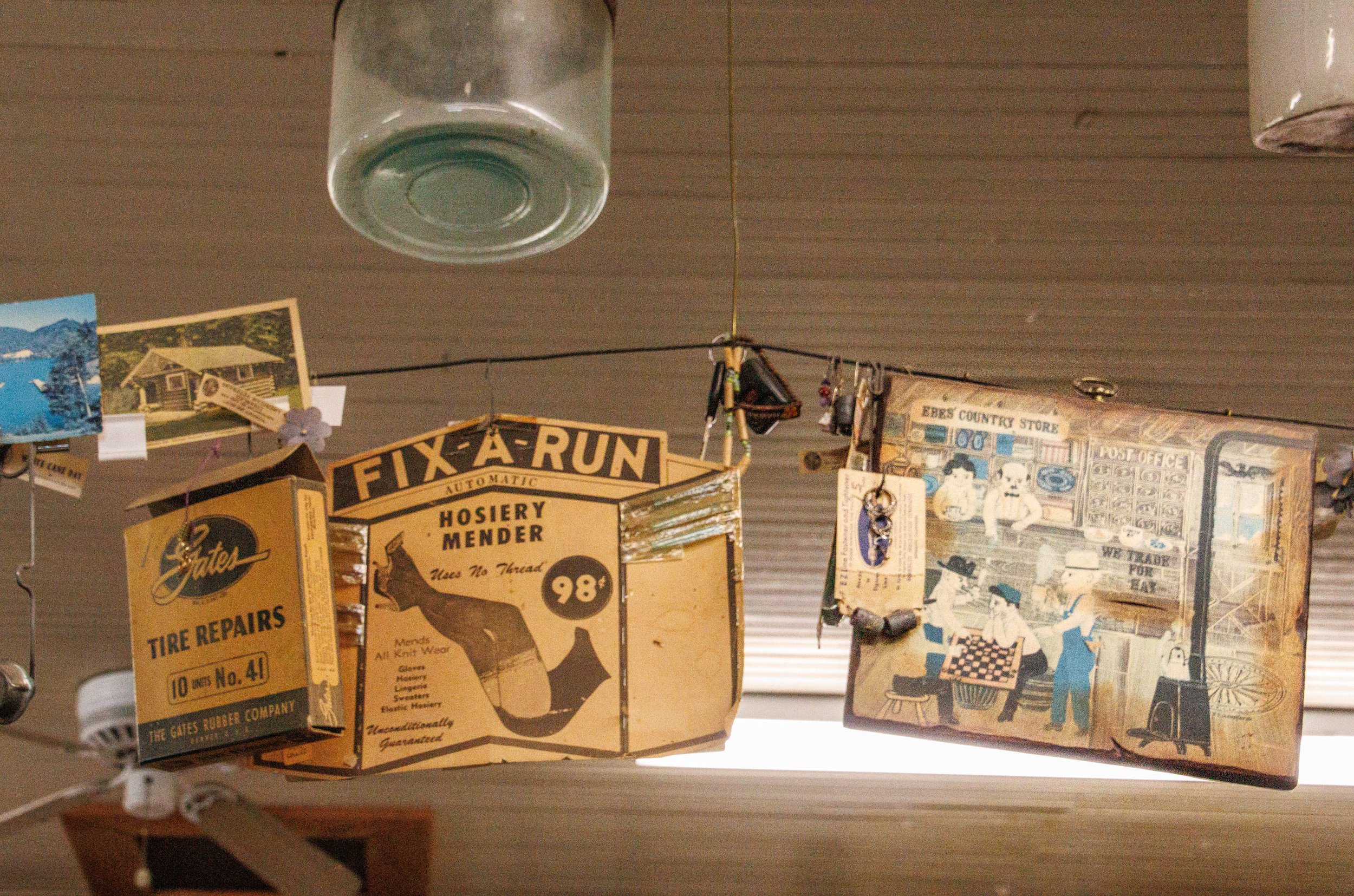
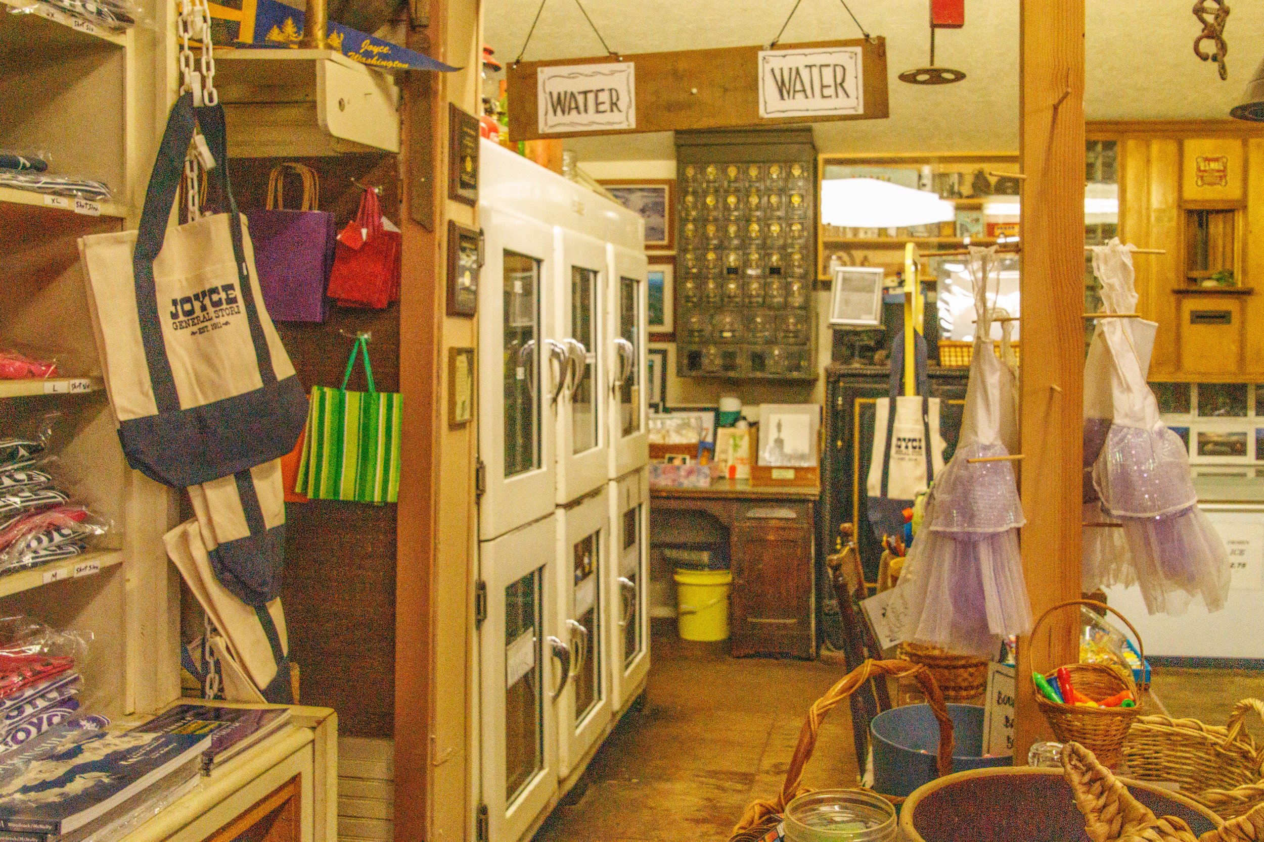
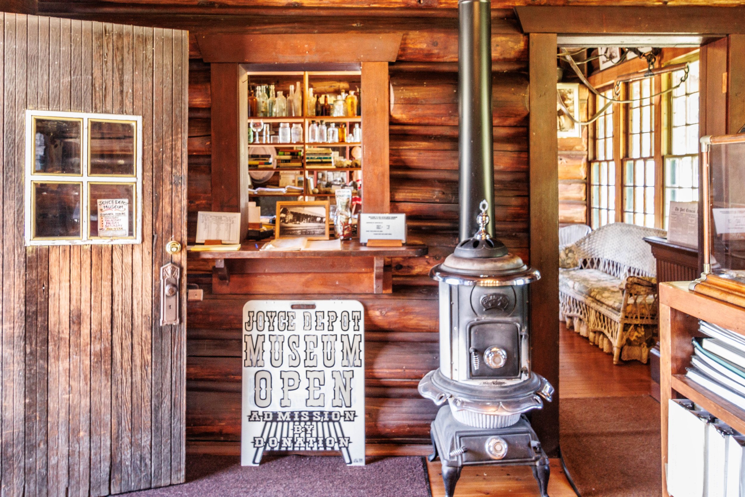
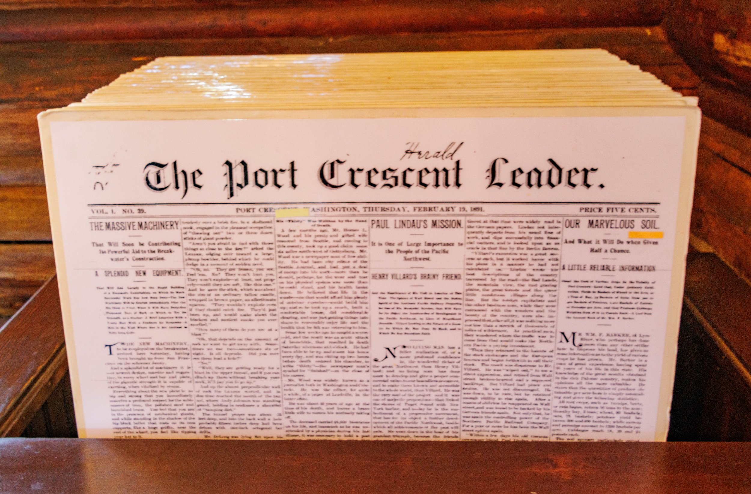
Heading west from Sequim toward Neah Bay, my Port Townsend friend Kathy and I made a quick stop in Joyce, Washington, an unincorporated community whose history, like many small towns on the Olympic Peninsula was primarily related to the railroad. Joyce was founded in 1913 by Joseph Joyce and is currently known for the Joyce General Store, opened in 1911, and still open today. The store sells over 60,000 items under its roof – a little bit of everything - and also serves as the community’s post office. Next door to the General Store is the Joyce Depot Museum which holds an amazing number and variety of historical items from the town, including an 1891 copy of the Port Crescent Leader. There is no census record for Joyce.
I fully expected to find a hotel room in Neah Bay or somewhere nearby when I was planning this trip.. Multiple calls and email inquiries led nowhere. I finally found a place in Seiku, a tiny village on Clallum Bay with a 2020 population of 62 people. I was told by the proprietor that I probably got the single remaining room on the north side of the Peninsula because it was the last weekend of open halibut fishing, and rooms were all taken up by people coming from all over the Pacific Northwest to fish.

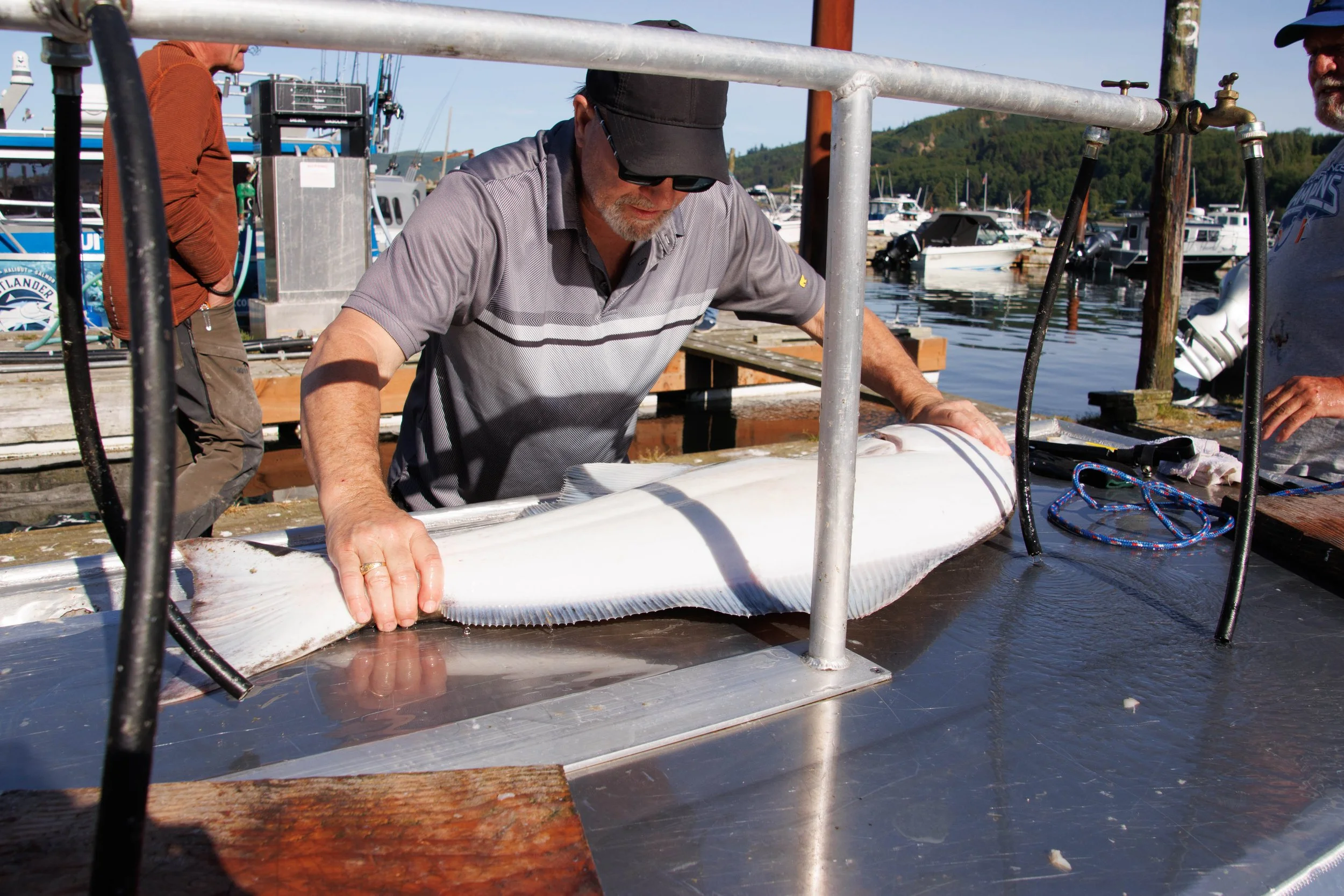
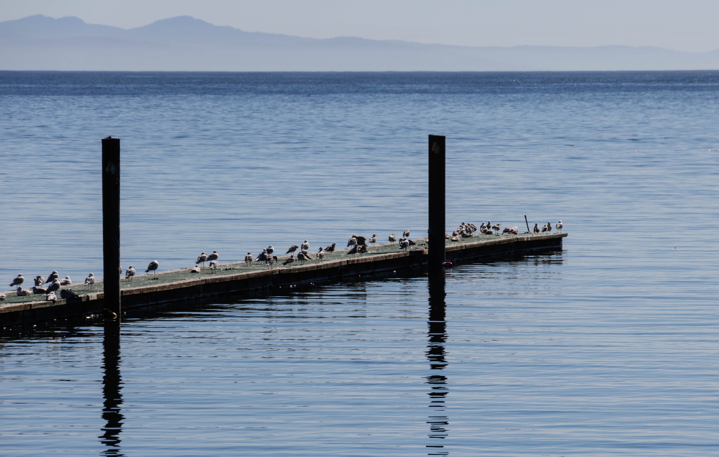
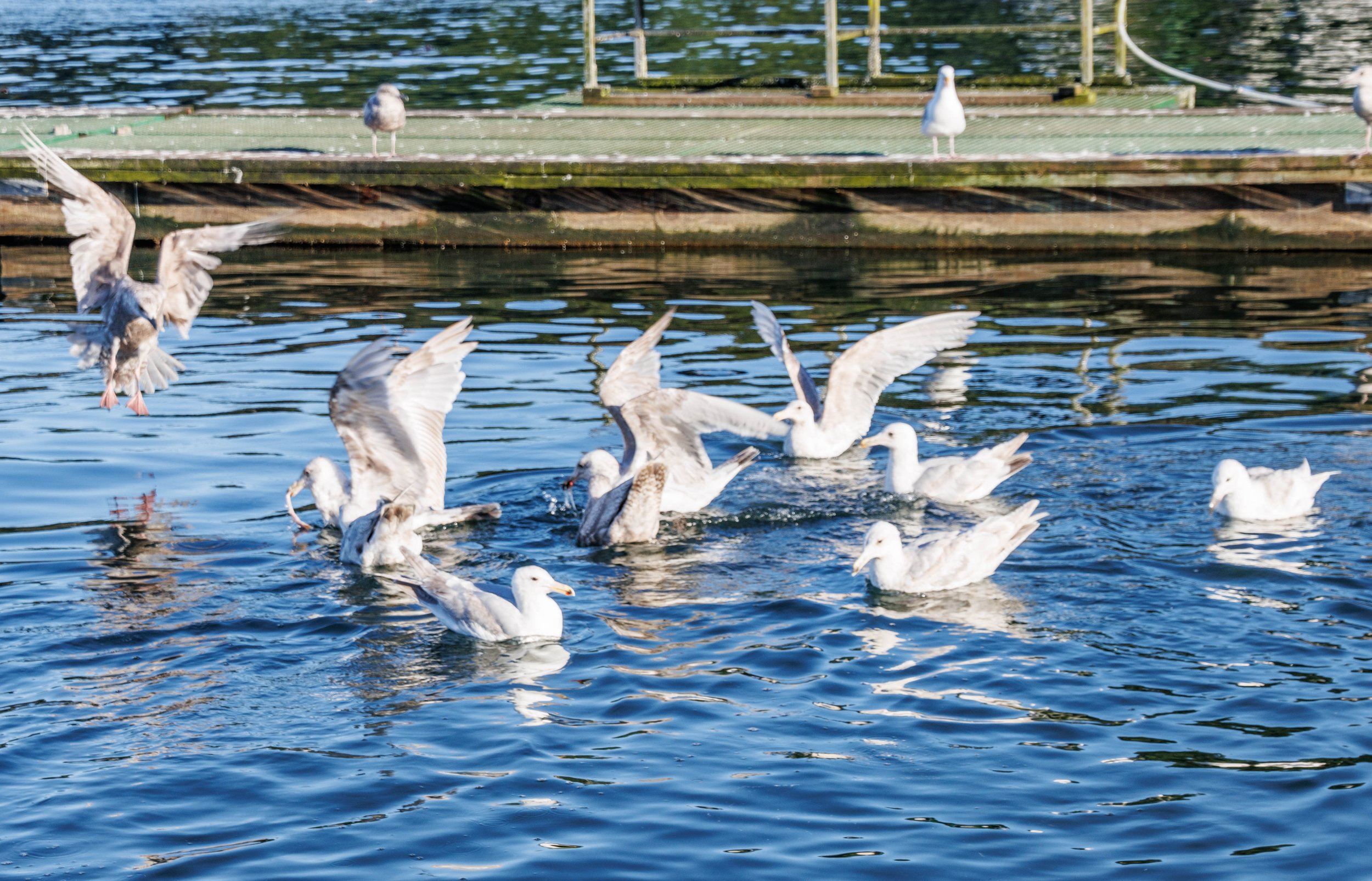
Seiku is a very beautiful place, overlooking the Strait of Juan de Fuca and Victoria, BC. It also has THE BEST fish and chips at the Bay Cafe, with the crispiest fish and fries I’ve ever had. There were hundreds of fishing boats lined up at the docks and (mostly) men either already on shore or at the cleaning stations on each dock, with both seagulls and eagles waiting for the discarded pieces of fish to be thrown in. The highlight for me was after hearing the shouts of excitement from several people at the weighing station who had learned their halibut weighed 43 pounds, we followed them to the cleaning station where they gave me permission to photograph as they filleted their monster halibut. I do want to mention that it was the woman in their party that caught that fish.
The Makah Indian Reservation reopened in March after a long Covid closure. Nineteen miles from Seiku to Neah Bay looks relatively short on a map, but the Strait of Juan de Fuca Highway is a windy, two-lane, 19-mile road that is susceptible to landslides, which occurred regularly this past winter. Seeing the bare, vertical, rocky walls as you drive toward Neah Bay makes you want to keep moving. We were not about to stop and take a photo. There were many places where we could pull over and view the Strait however, and no view was ever the same as a previous one.
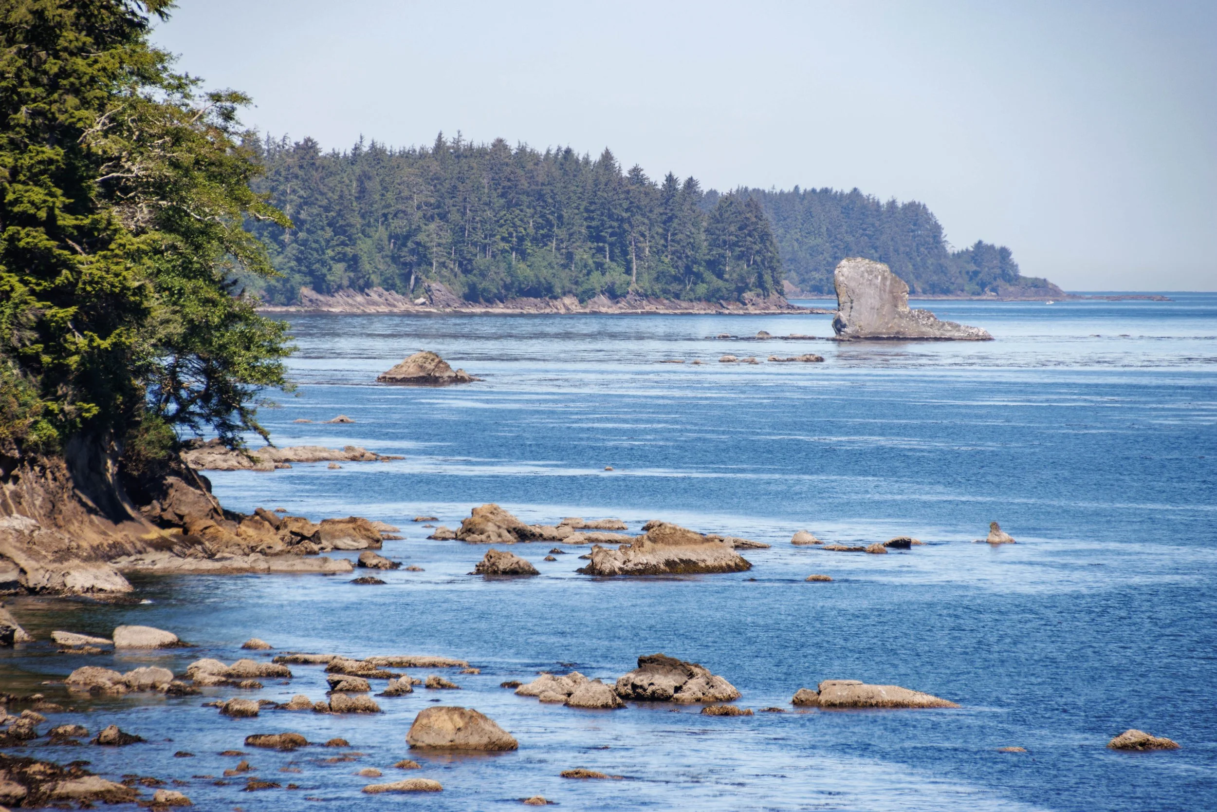

The reservation itself is 48 square miles large, 31,355 acres, which is just a portion of its original size. As part of the treaty with the federal government that was ratified in 1859, to keep its whaling rights and the health, education and welfare of its people, the Tribe gave up 300,000 acres to the United States. Whaling rights were upheld by the U.S. Supreme Court in 2005. When we arrived in Neah Bay it was time for breakfast and we were directed to Pat’s Place where we had bean and cheese tacos on fry bread rather than on tortillas. Delicious!!
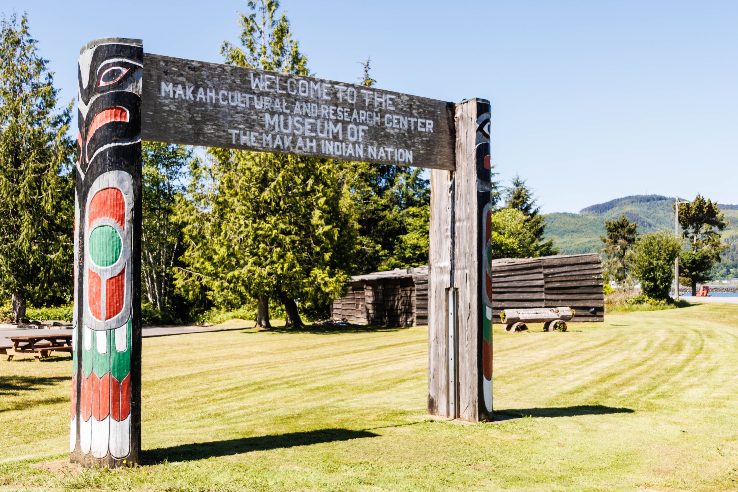
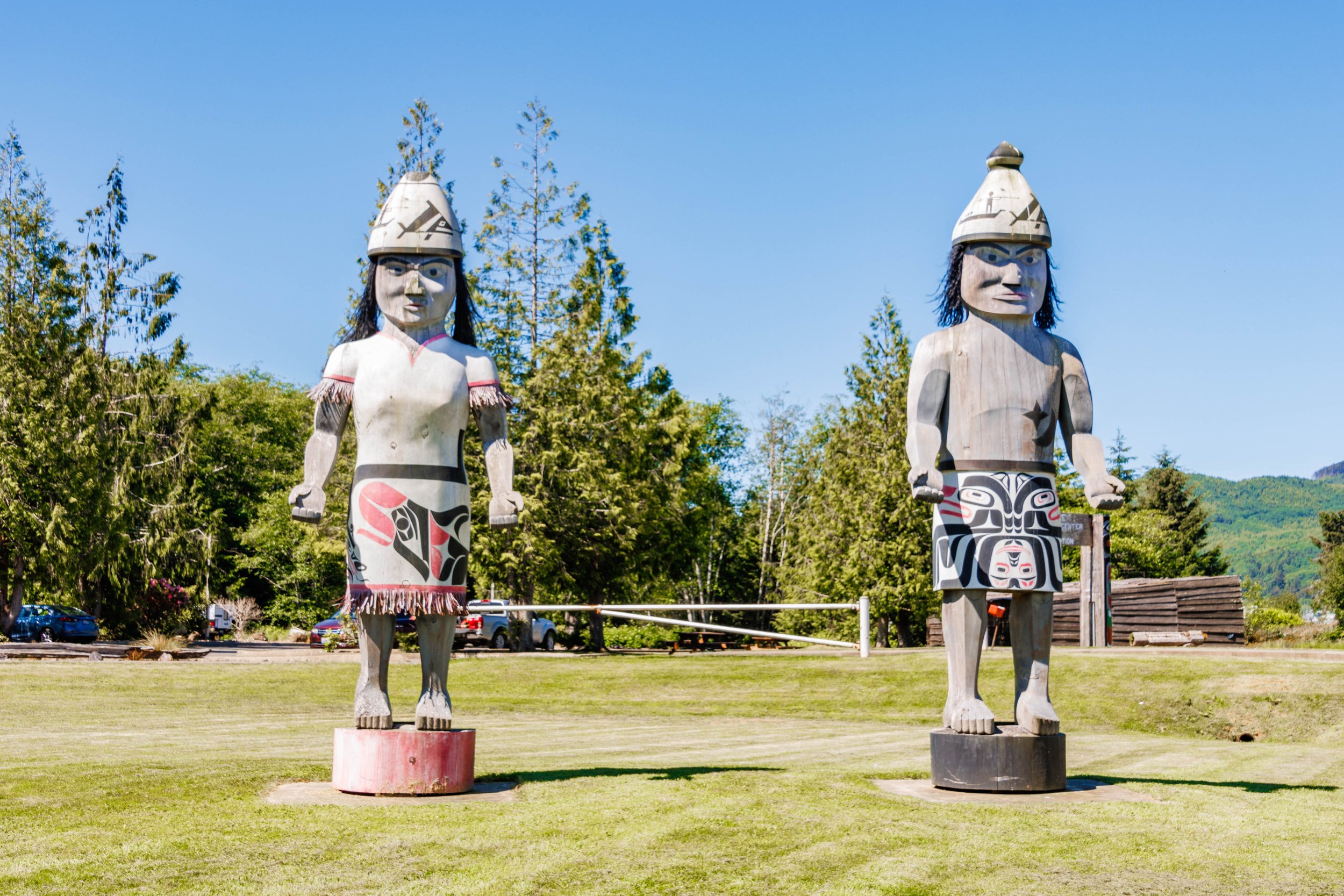
The Makah Cultural and Research Center, which contains the museum, store, and other departments, is the first building you see when you enter the reservation. The museum displays artifacts recovered from the Ozette Archeological Site and historic pieces and photographs reflecting the history of the Makah tribe. During our morning visit we viewed a fascinating hour-long video describing the Ozette Landslide that had occurred approximately 300-500 years before and that buried six 30 feet x 70 feet longhouses and their contents. In 1970, a storm in that area uncovered thousands of perfectly preserved wooden artifacts. Several days after the storm a hiker discovered these artifacts and he reported them to the Makah Tribe who then reported it to Western Washington University. Within 2 months of the discovery, an 11-year excavation project started that ultimately revealed over 55,000 pieces that had been buried by the landslide. Approximately 1% of the artifacts found are elegantly displayed in the museum, however photo taking was prohibited inside the museum.

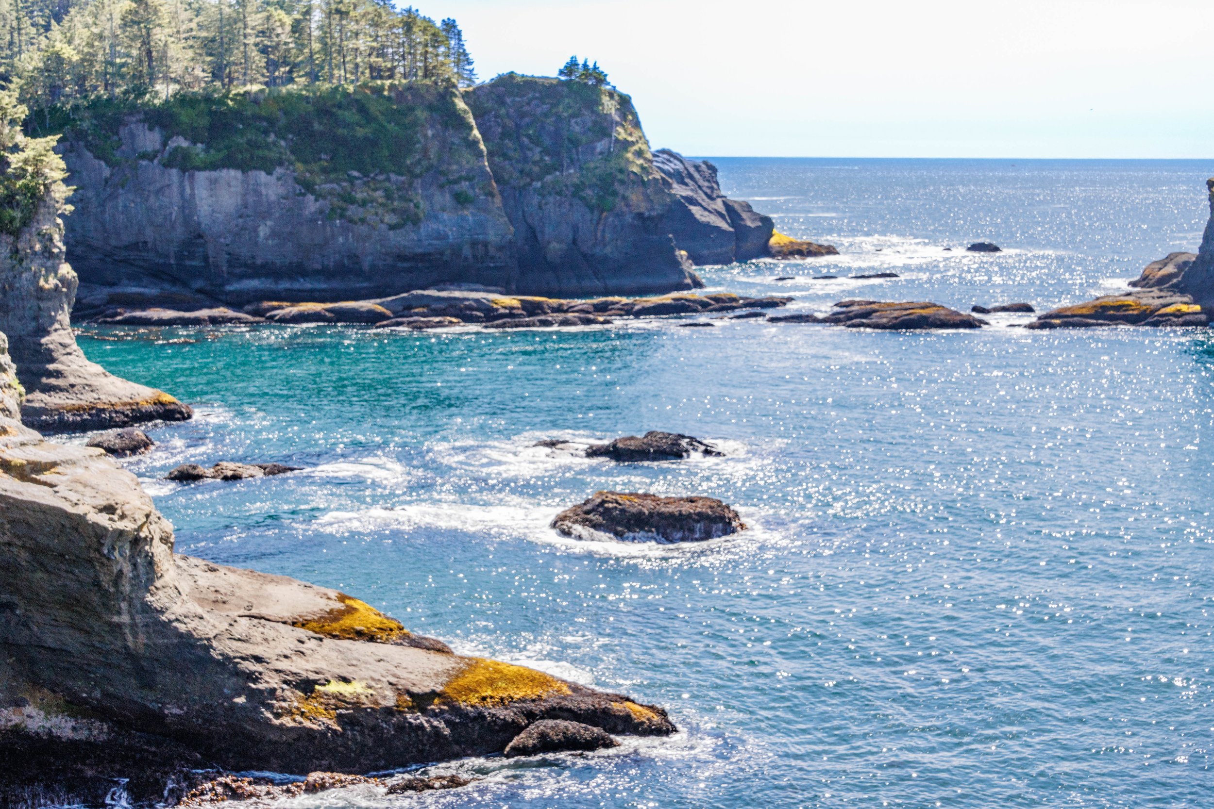
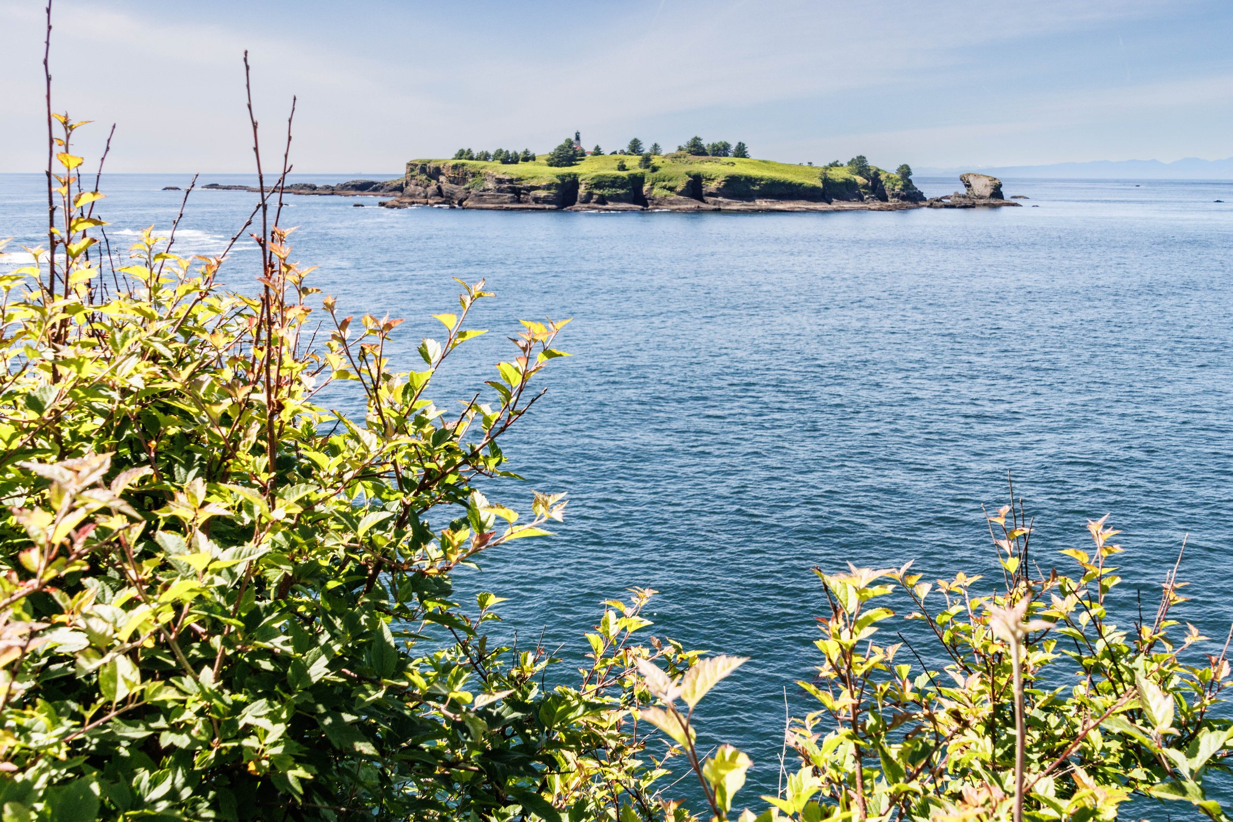
Our afternoon was spent on the trail to and from Cape Flattery, and enjoying the views from the viewing platforms. Cape Flattery is on the Makah Reservation, and located at the point where the Strait of Juan de Fuca and the Pacific Ocean meet. It is the most northwestern piece of land in the contiguous 48 states. The 0.8-mile path was described to us as easy and having a boardwalk. Most of the paths were root-bound which had come to the surface from the large, old trees, and very few boardwalks were present, requiring careful stepping to avoid falling since many of the roots were wet. However, the reward we welcomed once we reached the tip provided spectacular views of rugged rocks, clear and sparkling azure blue water, and flocks of seagulls, cormorants and shorebirds flying above us. From the last platform, directly in front of us was Tatoosh Island with its lone lighthouse. The trail was moderately crowded, and there were many different languages spoken by the hikers. We were lucky not to experience fog or any of the 100 annual inches of rain, both occurring frequently at Cape Flattery.

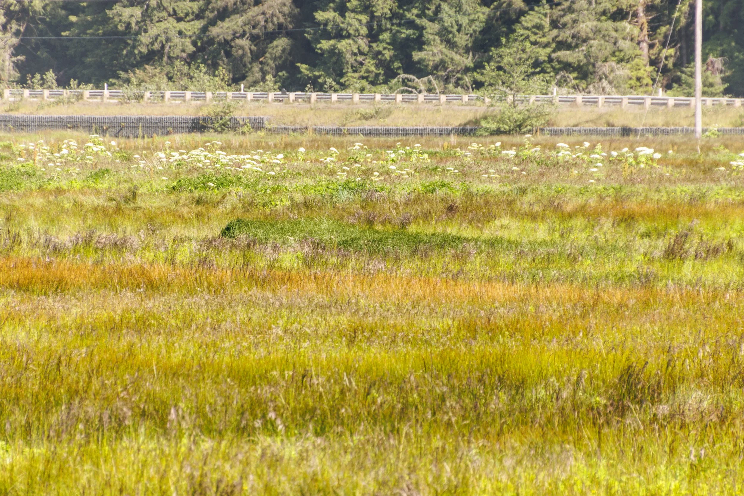
One of the prettiest areas I saw was along the road that took us toward both Cape Flattery and ShiShi Beach. It was a long field, about one-half mile, of beautiful multi-colored grasses. I was just impressed with the changing colors throughout.
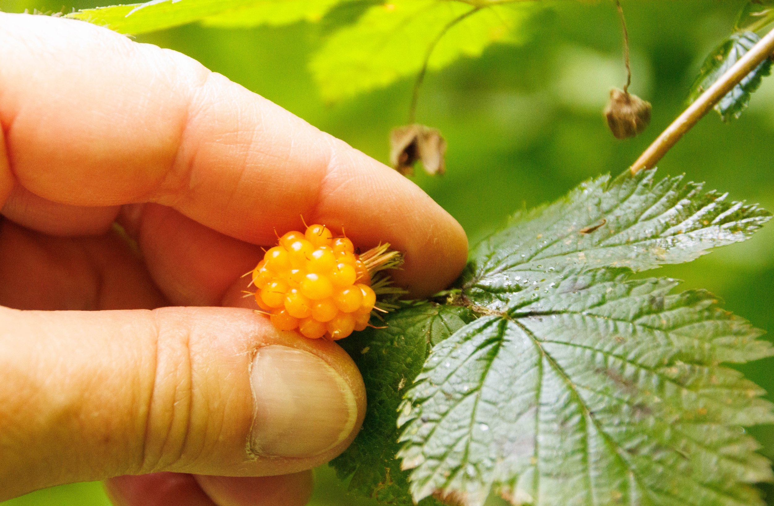
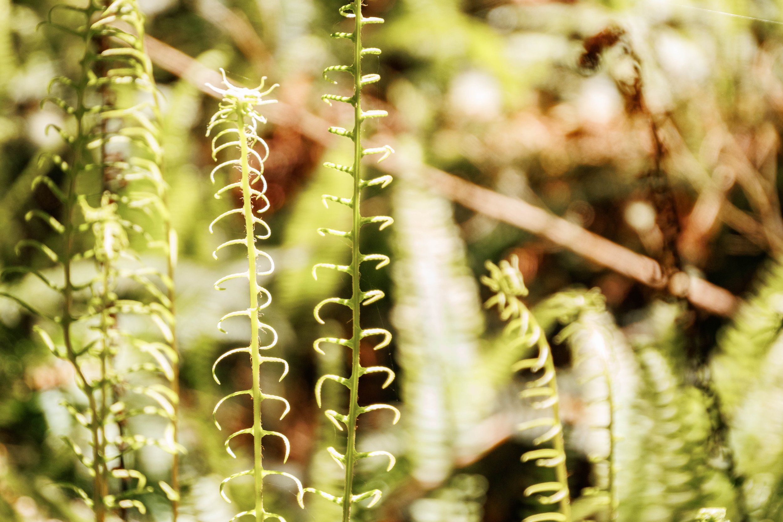
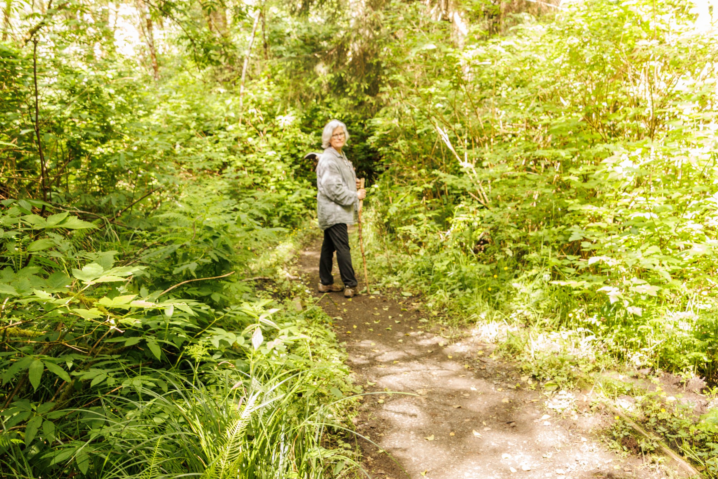
The next day was sunny and cloud-free, and we hiked to Shi Shi Beach (pronounced as in “I”, not “E”), a 2-mile trip each way, also on the reservation. The trail had beautiful foliage of many different varieties, including unusual ferns and golden salmonberries that were ripe enough to eat. Kathy is a naturalist who has studied the medicinal use of some of the trees and plants that we saw on our hike. She pointed out many examples such as the mushrooms we spotted on trees that are used to treat conditions like cancer.

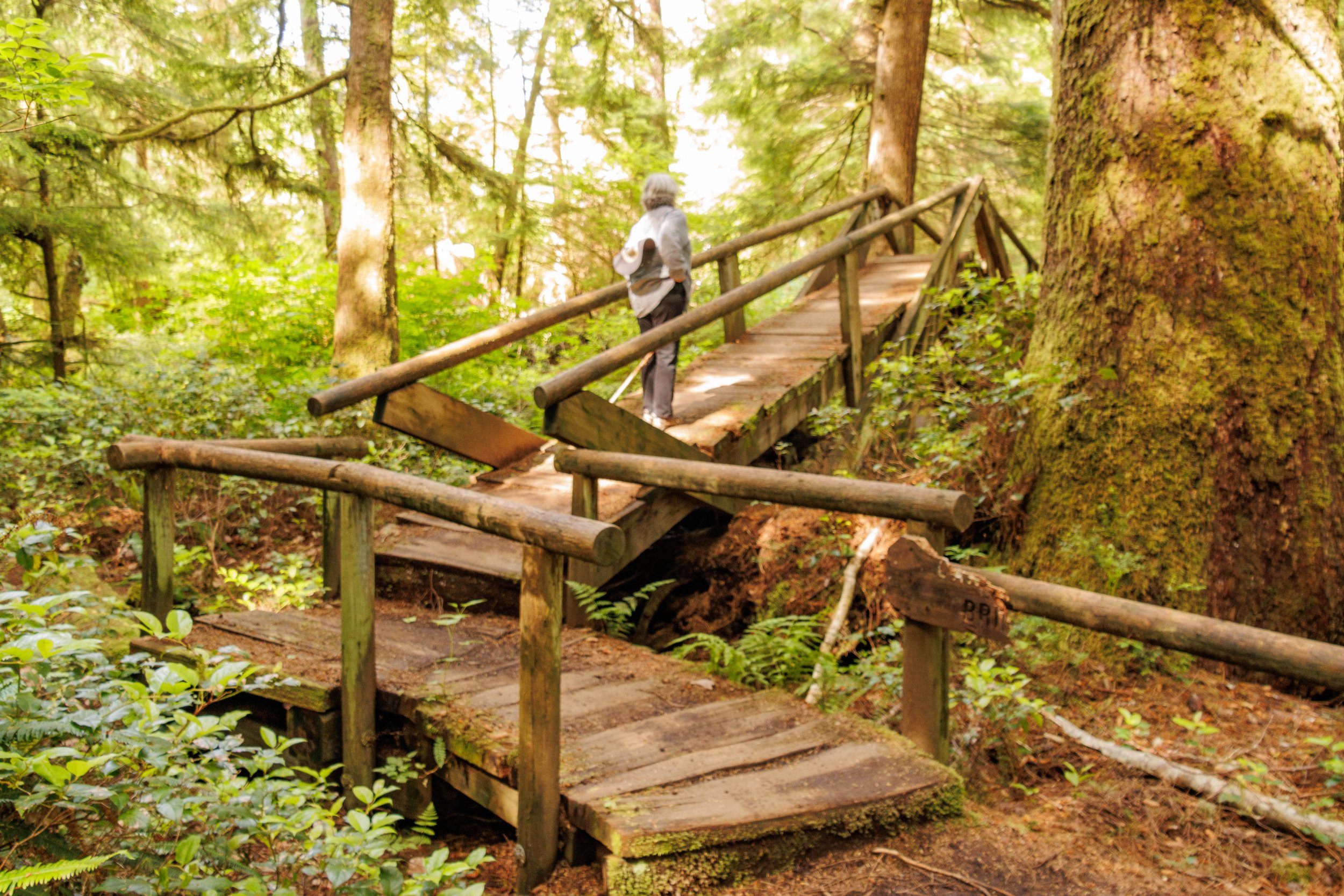

This trail was free of tree roots throughout, however, a large portion of it was extremely muddy instead. Boardwalks protect hikers from creeks but not from muddy trails and this trail was very muddy. It seemed like our only option to avoid the mud was to walk around it through the trees on either side. That was physically more challenging since those areas were not officially carved out as trails. By the time we got to the beach we had added an additional mile because of our many detours. The return trip from the beach was much easier for me. I decided to just walk through the 3-4 inch mud and gave a huge shout out to my Keen hiking boots that stayed dry inside during the entire hike.
The beach was very pretty with sea stacks present in every direction. There were only several other people on the beach, however we saw many more headed our way out that going to camp there. The tide was just beginning to come in so it was easy to walk near the water. I could have spent hours there, just sitting and watching the graceful motion of the water. It was beautiful and peaceful, and a perfect way to wrap up another journey.
